


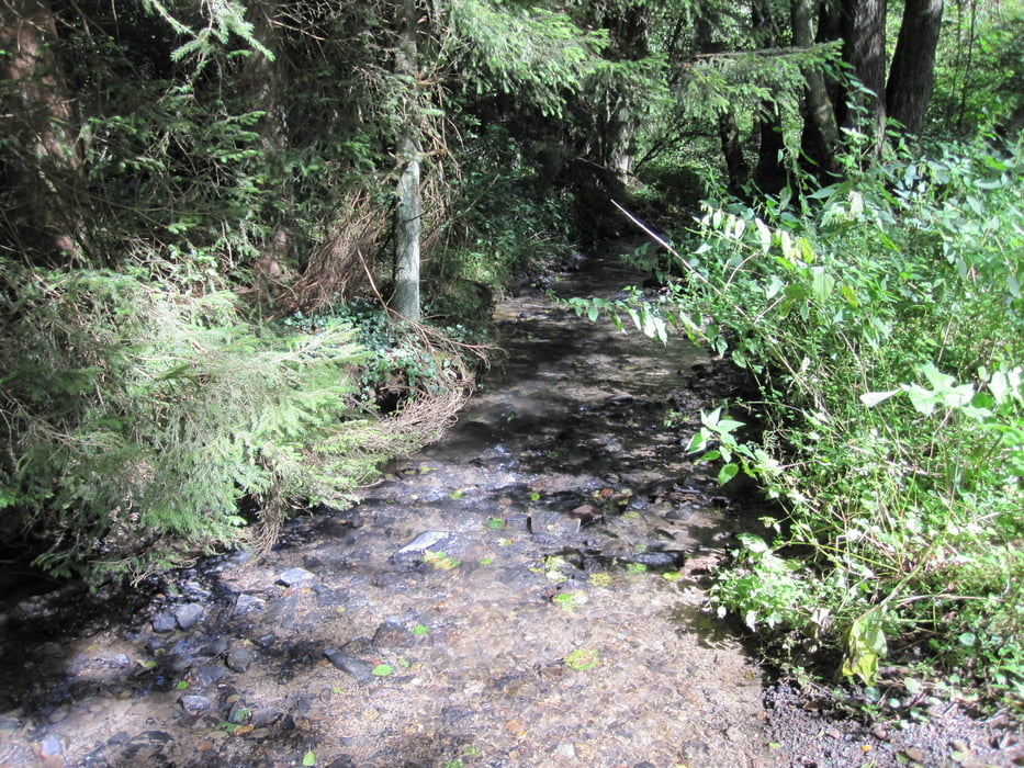
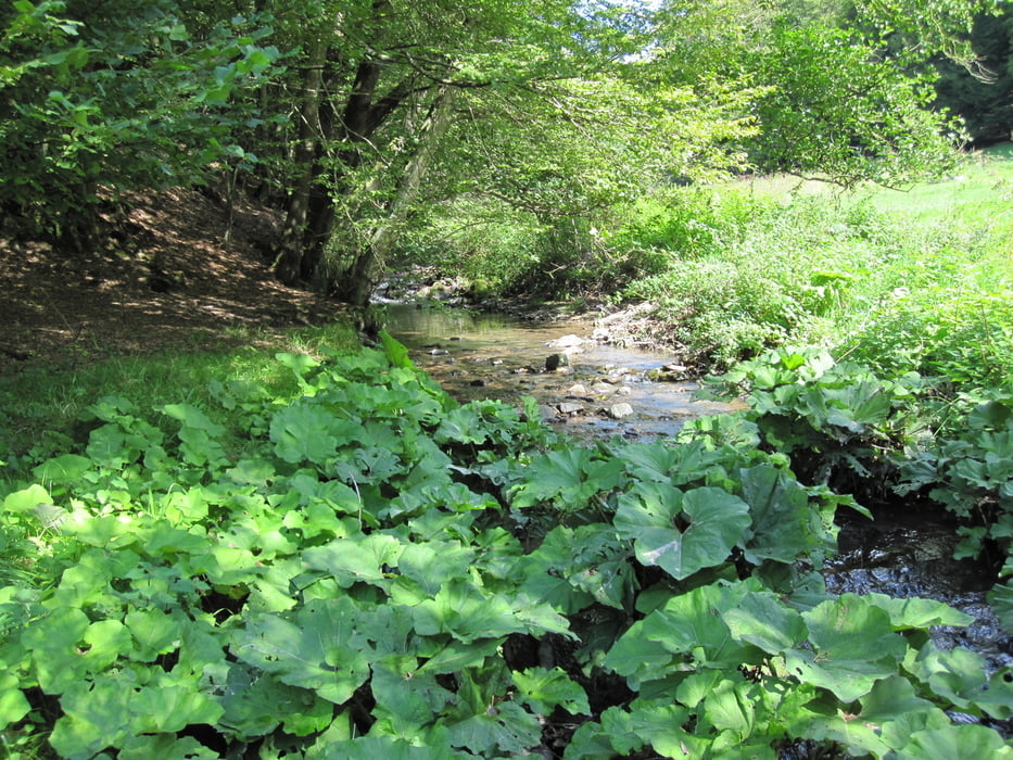
Es geht durch das Bergische Land bei Altenberg (an der Dünn). Die Tour ist ca. 16 km lang und hat natürlich auch ein paar Hundert Meter Aufstieg. Der Weg geht hauptsächlich über unbefestigte Waldwege durch Täler und an kleinen Bächen entlang.
Von Altenberg gehen wir zunächst am Pfengstbach aufwärts, überqueren die Höhe bei Feld und folgen dann abwärts einem kleinen Bach Richtung Dünn. Nach Überquerung der Dünntalsperre geht es in das Tal der Linnefe und dann über die Höhe bei Bremen in das Tal des Eifgenbachs, dem wir dann bis zur Mündung in die Dünn folgen.
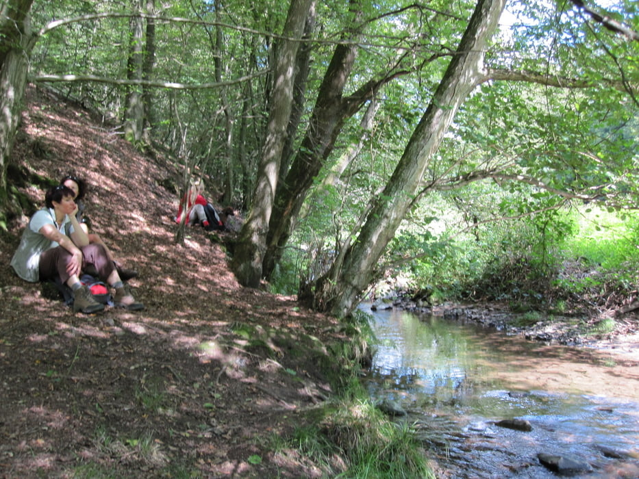
Für die Schlusseinkehr sollte sich in Altenberg ein schönes Plätzchen finden lassen.
Further information at
http://de.wikipedia.org/wiki/Altenberg_%28Bergisches_Land%29Tour gallery
Tour map and elevation profile
Minimum height 88 m
Maximum height 239 m
More about the tour author
|
|
ds5 |
Comments

GPS tracks
Trackpoints-
GPX / Garmin Map Source (gpx) download
-
TCX / Garmin Training Center® (tcx) download
-
CRS / Garmin Training Center® (crs) download
-
Google Earth (kml) download
-
G7ToWin (g7t) download
-
TTQV (trk) download
-
Overlay (ovl) download
-
Fugawi (txt) download
-
Kompass (DAV) Track (tk) download
-
Track data sheet (pdf) download
-
Original file of the author (gpx) download
More about the tour author
|
|
ds5 |
Add to my favorites
Remove from my favorites
Edit tags
Open track
My score
Rate