

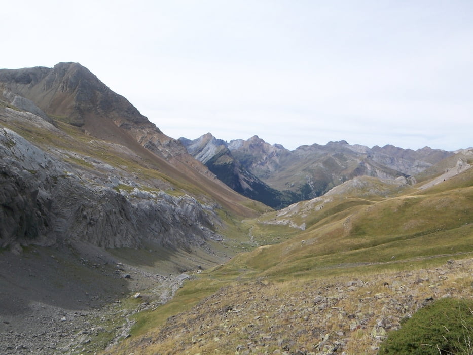
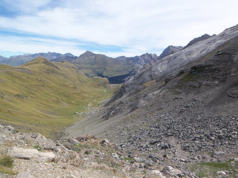
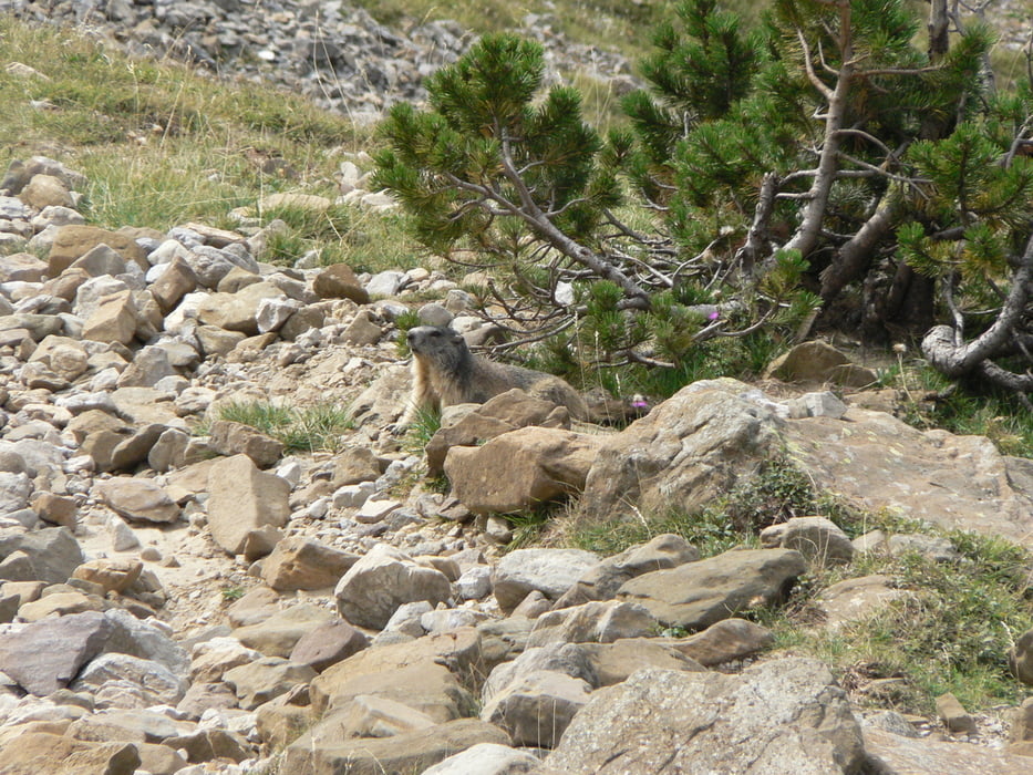
Von San Nicolas de Bujaruelo geht es über ausgedehnte Grashänge und dann auf gerölligem Gelände mit steileren Zwischenstücken zu den Cabana de Electricas. Dannach passiert man eine kleine Hütte (Notunterkunft) und mit etwas Glück und Aufmerksamkeit kann man bald die ersten drolligen Murmeltiere beobachten, die behende durch ihr Revier tollen. Weiter durch die Talebene Plana de Lacoma geht es danach mit steter Steigung auf die sich abzeichnende Sattelhöhe zu. Im Zickzack geht es weiter bis wir den Puerto de Bujaruelo erreichen. Mit Blick auf die französische Gavernie können wir auch hier wieder zahlreiche Murmeltiere beobachten nachdem sich unser Auge an die sich vorerst beweglichen Steinhäufchen gewöhnt hat.
Tour gallery
Tour map and elevation profile
Minimum height 1329 m
Maximum height 2274 m
More about the tour author

|
Emma |
Comments

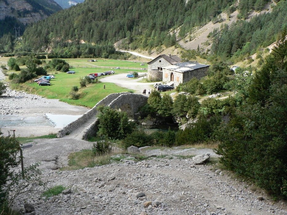
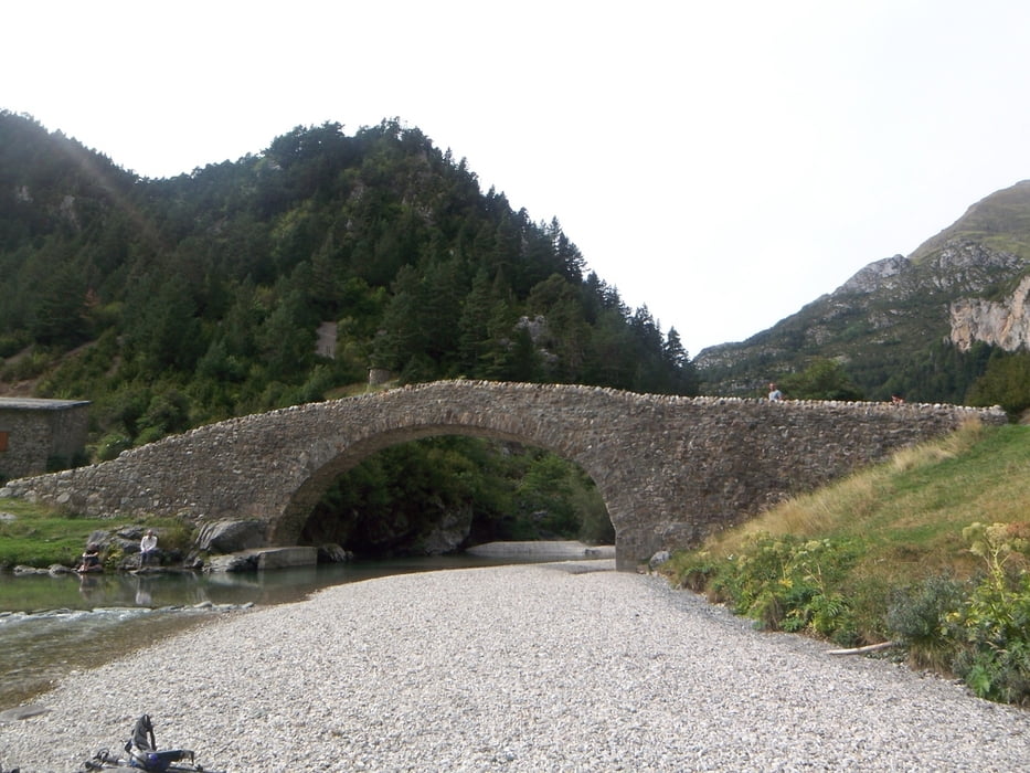
Von Torla nach San Nicolas de Bujaruelo auf einer Piste durch das Valle de Bujaruelo (Fahrzeit auf der Piste ca. 30 min)
GPS tracks
Trackpoints-
GPX / Garmin Map Source (gpx) download
-
TCX / Garmin Training Center® (tcx) download
-
CRS / Garmin Training Center® (crs) download
-
Google Earth (kml) download
-
G7ToWin (g7t) download
-
TTQV (trk) download
-
Overlay (ovl) download
-
Fugawi (txt) download
-
Kompass (DAV) Track (tk) download
-
Track data sheet (pdf) download
-
Original file of the author (gpx) download
More about the tour author
|
|
Emma |
Add to my favorites
Remove from my favorites
Edit tags
Open track
My score
Rate