


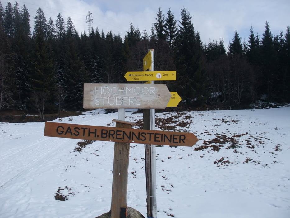
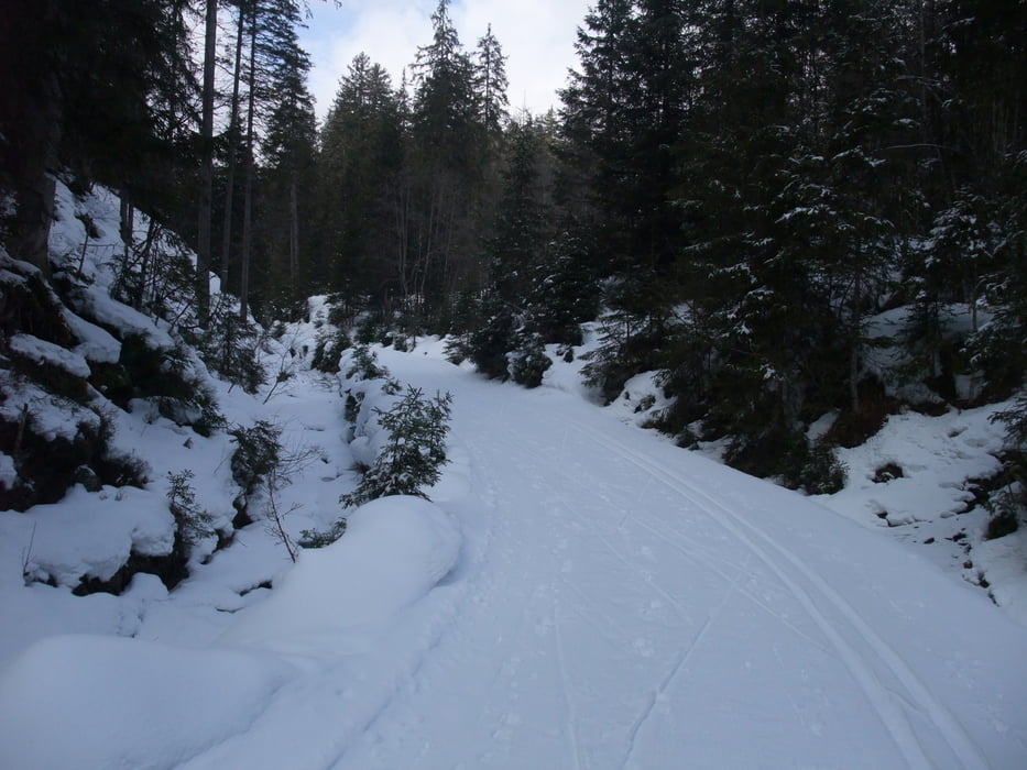
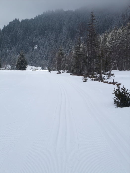
Wir haben die Loipe in einwandfreien Zustand vorgefunden und sind die Runde Tauernblick und Hochmoor gelaufen. Ein kleines Stübel an der Hochmoorrund lädt zur Rast ein. In dieser Höhe ist die Loipe schneesicher.
Further information at
http://touren.kitzbuehel.com/de/tour/index/id/517_crosscountryTour gallery
Tour map and elevation profile
Minimum height 1165 m
Maximum height 1238 m
More about the tour author
|
|
JZE |
Comments

Der Parkplatz der Panoramabahn Kitzbüheler Alpen (Mittelstation Breitmoos) an der B161, etwas oberhalb des Gasthofs Tauernblick, Pass Thurn 23, 5730 Mittersill, ist Start- und Endpunkt
Breitengrad: 47.301208
Längengrad: 12.416313
Höhe: 1206.492 m
GPS tracks
Trackpoints-
GPX / Garmin Map Source (gpx) download
-
TCX / Garmin Training Center® (tcx) download
-
CRS / Garmin Training Center® (crs) download
-
Google Earth (kml) download
-
G7ToWin (g7t) download
-
TTQV (trk) download
-
Overlay (ovl) download
-
Fugawi (txt) download
-
Kompass (DAV) Track (tk) download
-
Track data sheet (pdf) download
-
Original file of the author (gpx) download
More about the tour author
|
|
JZE |
Add to my favorites
Remove from my favorites
Edit tags
Open track
My score
Rate