


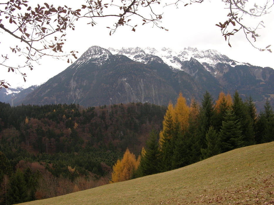
Ältere Knaben, so wie ich, müssen dem Zahn der Zeit ihren Tribut zollen. Neben der Kraft lässt vor allem das Koordinationsvermögen kontinuierlich nach. Um dem gegenzusteuern habe ich mir eine Joggingstrecke ausgesucht, bei der ich zweimal auf Bahngleis ohne Verkehr balanciere. Dabei zähle ich die "Abstiege" und ich kann berichten, dass ich inzwischen auf einem Kilometer nicht mehr annähernd so oft wie zu Beginn das Gleichgewicht verliere. Die Strecke führt an der Ill entlang, tauchende Wasseramseln halten mich diesmal nicht auf. Auch nicht die Flugakrobatik zweier Bussarde.
Der Bremschl ist ein tolles Laufgebiet ohne Verkehr, hauptsächlich Äcker und Wiesen aber auch Flusslandschaft, Wald, Berg...
Further information at
http://www.heimbrauen.atTour gallery
Tour map and elevation profile
Minimum height 553 m
Maximum height 575 m
More about the tour author
|
|
schweizerkas |
Comments

Von der A 14 kommend, Auto im Bereich der Einkaufszentren parken und los!
GPS tracks
Trackpoints-
GPX / Garmin Map Source (gpx) download
-
TCX / Garmin Training Center® (tcx) download
-
CRS / Garmin Training Center® (crs) download
-
Google Earth (kml) download
-
G7ToWin (g7t) download
-
TTQV (trk) download
-
Overlay (ovl) download
-
Fugawi (txt) download
-
Kompass (DAV) Track (tk) download
-
Track data sheet (pdf) download
-
Original file of the author (gpx) download
More about the tour author
|
|
schweizerkas |
Add to my favorites
Remove from my favorites
Edit tags
Open track
My score
Rate