


Diese Genuss-Tour entspricht in weiten Teilen der Moser Tour 23 aus Band 7. Sie startet in Wolfratshausen und führt Richtung Süden entlang am Loisach-Isar-Kanal. Die Srecke verläuft ausschließlich auf kleinen Straßen und Forstwegen. Schöne Einkehrmöglichkeiten finden sich in Reindl (Gasthof Reindlschmiede) und in Ramsau.
Der Uferweg an der Isar zwischen Lochen und Hochland wurde gerade neu mit Kies ausgebessert. Er ist im Moment (April 2007) etwas mühsam zu befahren. Dies dürfte sich aber in den nächsten Monaten bessern.
Kurz vor Einöd befindet sich eine steile Abfahrt von ca. 200 Metern. Hier ist evtl. ein kurzes Stück zu schieben.
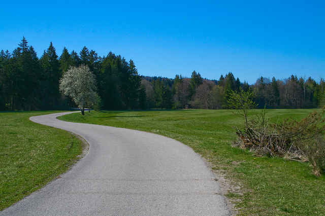
Tour gallery
Tour map and elevation profile
Minimum height 576 m
Maximum height 697 m
More about the tour author

|
Raupach |
Comments

Aus München auf der A95 Richtung Garmisch Ausfahrt Wolfratshausen. In Wolfratshausen weiter Richtung Egling. Direkt hinter der Isar-Brücke an der auch die Flöße Richtung München starten, ist ein Parkplatz mit ausreichend Platz.
GPS tracks
Trackpoints-
GPX / Garmin Map Source (gpx) download
-
TCX / Garmin Training Center® (tcx) download
-
CRS / Garmin Training Center® (crs) download
-
Google Earth (kml) download
-
G7ToWin (g7t) download
-
TTQV (trk) download
-
Overlay (ovl) download
-
Fugawi (txt) download
-
Kompass (DAV) Track (tk) download
-
Track data sheet (pdf) download
-
Original file of the author (gpx) download
More about the tour author
|
|
Raupach |
Add to my favorites
Remove from my favorites
Edit tags
Open track
My score
Rate