


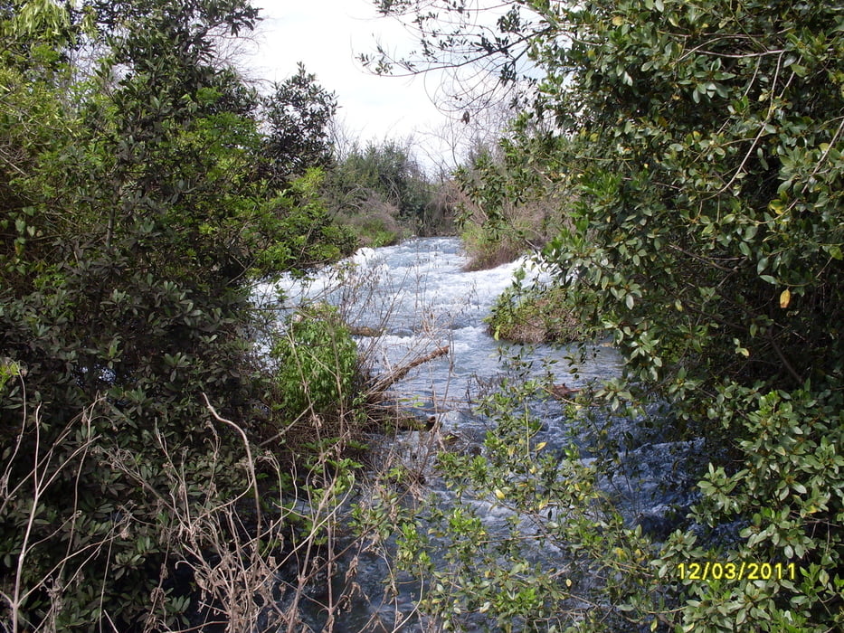
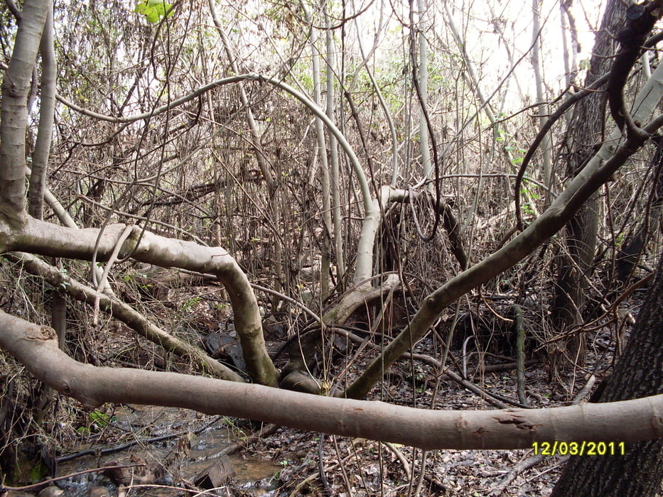
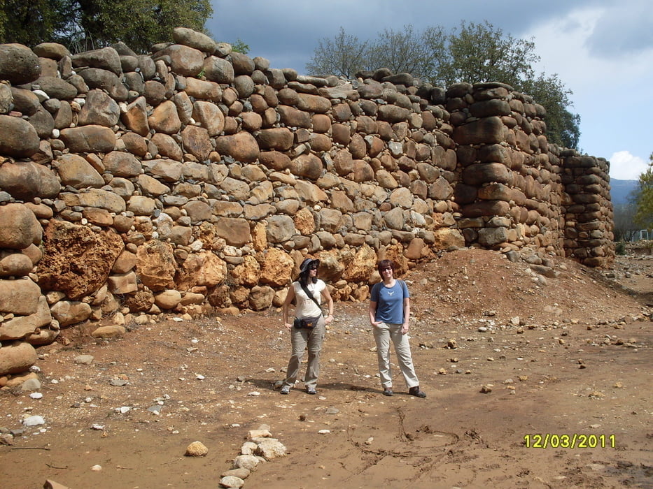
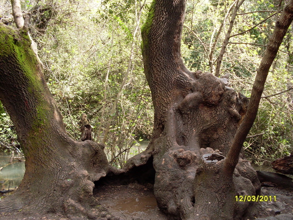
Rundweg im Nature Reserve Tel Dan. Dan ist einer der Quellflüsse des Jordans. Der Großteil des Pfades verläuft in urwaldwaldähnlichem, schattigen Gelände. Überall hat es Quellen und fließt Wasser. Im hinteren, sonnigen Bereich des Rundweges befinden sich die historischen Bauwerke und Ausgrabungen des "The Israelite Gate" und "The High Place".
Further information at
http://www.parks.org.il/BuildaGate5/general2/data_card.php?Cat=~25~~970478950~Card12~&ru=&SiteName=parks&Clt=&Bur=742074923Tour gallery
Tour map and elevation profile
Minimum height 160 m
Maximum height 199 m
More about the tour author

|
Keschtewaeldele |
Comments

Startpunkt und Parken: Eingang Natural Reserve Tel Dan. Ausgeschildert von der Straße 99.
GPS tracks
Trackpoints-
GPX / Garmin Map Source (gpx) download
-
TCX / Garmin Training Center® (tcx) download
-
CRS / Garmin Training Center® (crs) download
-
Google Earth (kml) download
-
G7ToWin (g7t) download
-
TTQV (trk) download
-
Overlay (ovl) download
-
Fugawi (txt) download
-
Kompass (DAV) Track (tk) download
-
Track data sheet (pdf) download
-
Original file of the author (gpx) download
More about the tour author
|
|
Keschtewaeldele |
Add to my favorites
Remove from my favorites
Edit tags
Open track
My score
Rate