


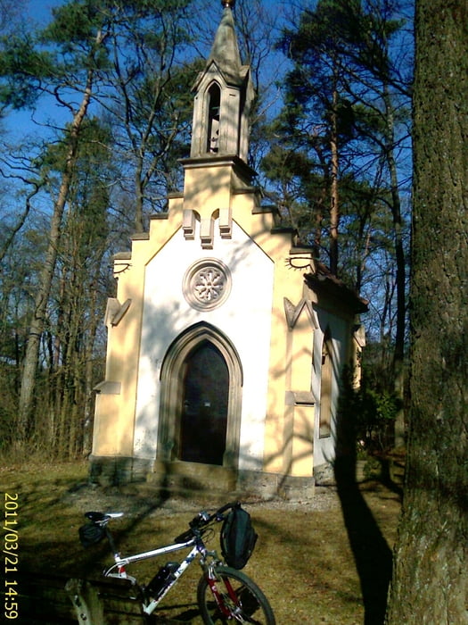
MTB Tour in das westliche Maintal und die Nordhänge bis vor nach Marktsteinach und zurück. Am Ausgang von Zeil, unterhalb der Hohen Wann Richtung Prappach, am Modellflugplatz vorbei durch Sylbach Richtung Sailershausen, durch das schöne Wässernachtstal nach Buch und Waldsachsen. Auf der Höhe, Beschilderung, vor zur Kapelle bis Marktsteinach. Auf dem Höhenrundweg zurück und weiter nach Greßhausen und Wagenhausen. Bei Obertheres ins Maintal und auf dem Mainradweg zurück nach Zeil. Vorwiegend geschotterte Waldwege, Flurbereinigungswege und wenig befahrene Landstraßen. Teilweise regionale und überregionale Radwege mit Beschilderung. Teile dieser Tour sind eher geeignet bei trockenem Gelände, bei Nässe können aber auch naheliegende befestige Wege gefahren werden.
Tour gallery
Tour map and elevation profile
Minimum height 211 m
Maximum height 406 m
More about the tour author
|
|
Astro |
Comments

Mit dem Auto (A70, Ausfahrt Knetzgau oder Eltmann, dann B26 bis nach 97475 Zeil am Main. Oder mit dem Zug, Zeil liegt ca. in der Mitte von Schweinfurt und Bamberg
GPS tracks
Trackpoints-
GPX / Garmin Map Source (gpx) download
-
TCX / Garmin Training Center® (tcx) download
-
CRS / Garmin Training Center® (crs) download
-
Google Earth (kml) download
-
G7ToWin (g7t) download
-
TTQV (trk) download
-
Overlay (ovl) download
-
Fugawi (txt) download
-
Kompass (DAV) Track (tk) download
-
Track data sheet (pdf) download
-
Original file of the author (gpx) download
More about the tour author
|
|
Astro |
Add to my favorites
Remove from my favorites
Edit tags
Open track
My score
Rate