
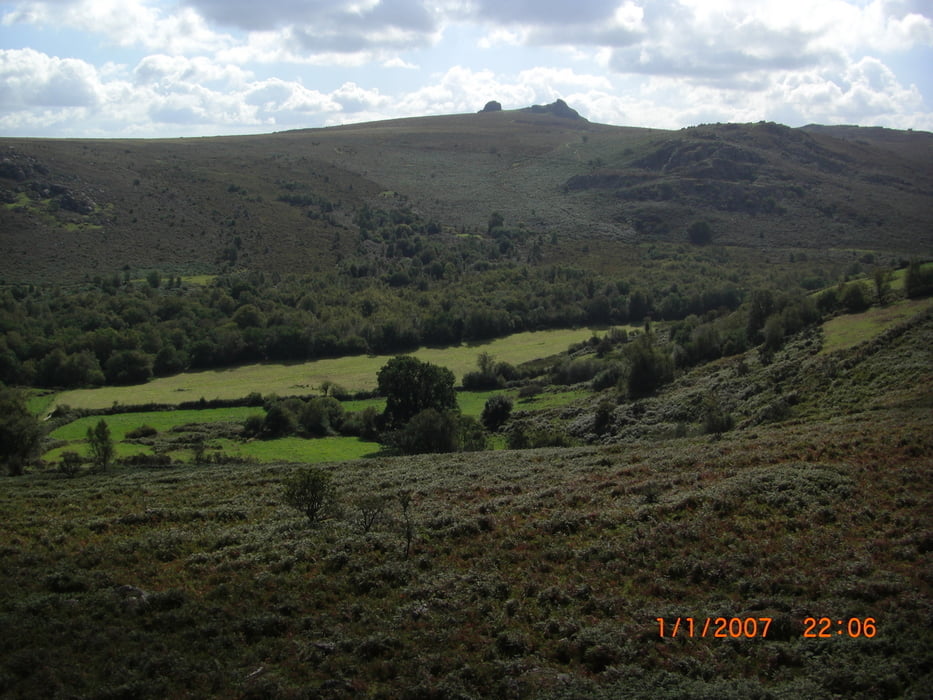

Auf der A 38 am Informationszentrum des Nationalparks parken. Anschließend zum Hound Tor aufsteigen. Auf der anderen Seite abwärts und ins Tal hinab. Auf der anderen Seite wieder aufwärts bis zu einem markanten Felsvorsprung. Besteigen - toller Rundblick. Wieder abwärts und rechts haltend um den Stock herum. In die Senke durch den Wald und auf der anderen Seite wieder aufwärts durch die herrliche Moorlandschaft auf die Hochebene. Diese queren und zurück zum Ausgangspunkt.
Tour map and elevation profile
Minimum height 276 m
Maximum height 456 m
More about the tour author
|
|
ultra |
Comments

Von Exeter in die Mitte vom Dartmoor. Parkplatz am Informationszentrum Nationalpark an der A 38.
GPS tracks
Trackpoints-
GPX / Garmin Map Source (gpx) download
-
TCX / Garmin Training Center® (tcx) download
-
CRS / Garmin Training Center® (crs) download
-
Google Earth (kml) download
-
G7ToWin (g7t) download
-
TTQV (trk) download
-
Overlay (ovl) download
-
Fugawi (txt) download
-
Kompass (DAV) Track (tk) download
-
Track data sheet (pdf) download
-
Original file of the author (gpx) download
More about the tour author
|
|
ultra |
Add to my favorites
Remove from my favorites
Edit tags
Open track
My score
Rate