


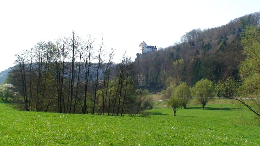
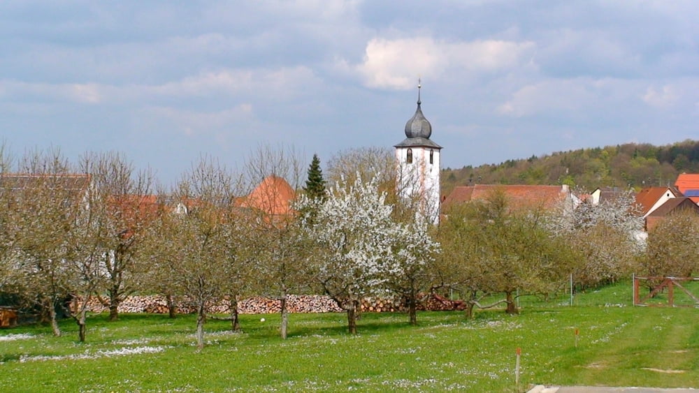
Vom Parkplatz an der Trubach entlang durch liebliches Tal nach Mostviel. Direkt vor Gasthaus rechts hinauf mit Rotstrich. Über Wiese und durch schönen Wald aufwärts nach Affaltertal. Nach ersten Häusern rechts und dann links durch den Ort. Am Ortsende mit Blauring links leicht ansteigend, an Wegweiser rechts ab über Wiese, rechts zum Waldrand, an diesem rechts vorbei, links durch ein Waldstück aufwärts. Nach einer Wohnwagensiedlung queren wir die Straße nach links und mit Rotpunkt geht es abwärts nach Hammerbühl. Auf Fußweg neben der Straße zurück nach Egloffstein.
Tour gallery
Tour map and elevation profile
Minimum height 339 m
Maximum height 516 m
More about the tour author
|
|
heinz-57 |
Comments

Google Earth: 49°42'7.83"N / 11°15'42.44"E
Von Nürnberg/ Gräfenberg auf B2 kommend nach Egloffstein, am Ortsbeginn vor Linkskurve halbrechts dem Wegweiser "Freibad" folgend. Dort Parkplatz.
GPS tracks
Trackpoints-
GPX / Garmin Map Source (gpx) download
-
TCX / Garmin Training Center® (tcx) download
-
CRS / Garmin Training Center® (crs) download
-
Google Earth (kml) download
-
G7ToWin (g7t) download
-
TTQV (trk) download
-
Overlay (ovl) download
-
Fugawi (txt) download
-
Kompass (DAV) Track (tk) download
-
Track data sheet (pdf) download
-
Original file of the author (gpx) download
More about the tour author
|
|
heinz-57 |
Add to my favorites
Remove from my favorites
Edit tags
Open track
My score
Rate