Login

Forgot your login?

Cookies have to be accepted!
Your browser's cookie functionality is disabled. Please enable this functionality.

Not a member yet?

Register now
Login

Available for registred users only

Log in to use this feature.

Forgot your login?

Cookies have to be accepted!
Your browser's cookie functionality is disabled. Please enable this functionality.

Not a member yet?

Register now
Filter
Categories
Advanced filters
  • Distance (km)
  • Height
Save filters Reset filter

TrackRank

QRCode

Technical data

Distance38,5 km Height641 m Way down617 m Duration03:02 h:m Date17.04.2011
Scores Author Landscape Fun factor Fitness Technique

Statistics

161 Views Scores 5 Downloads Average
Rate
  • Track data sheet
  • Directions
  • Downloads
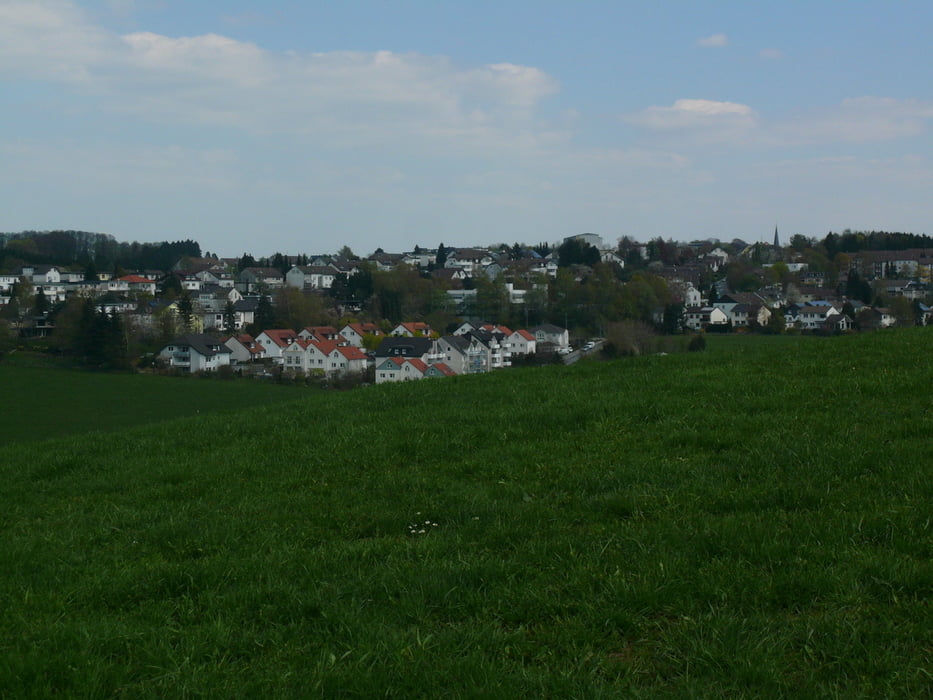
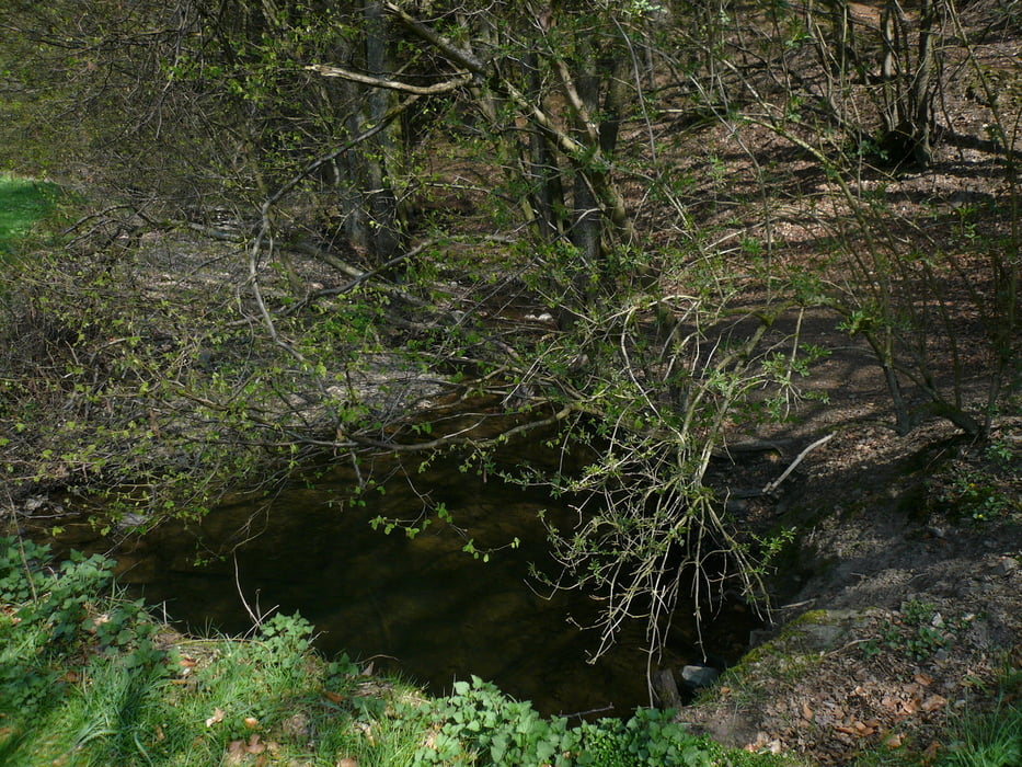
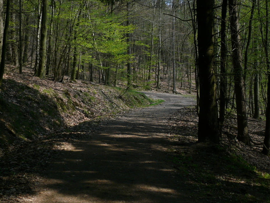
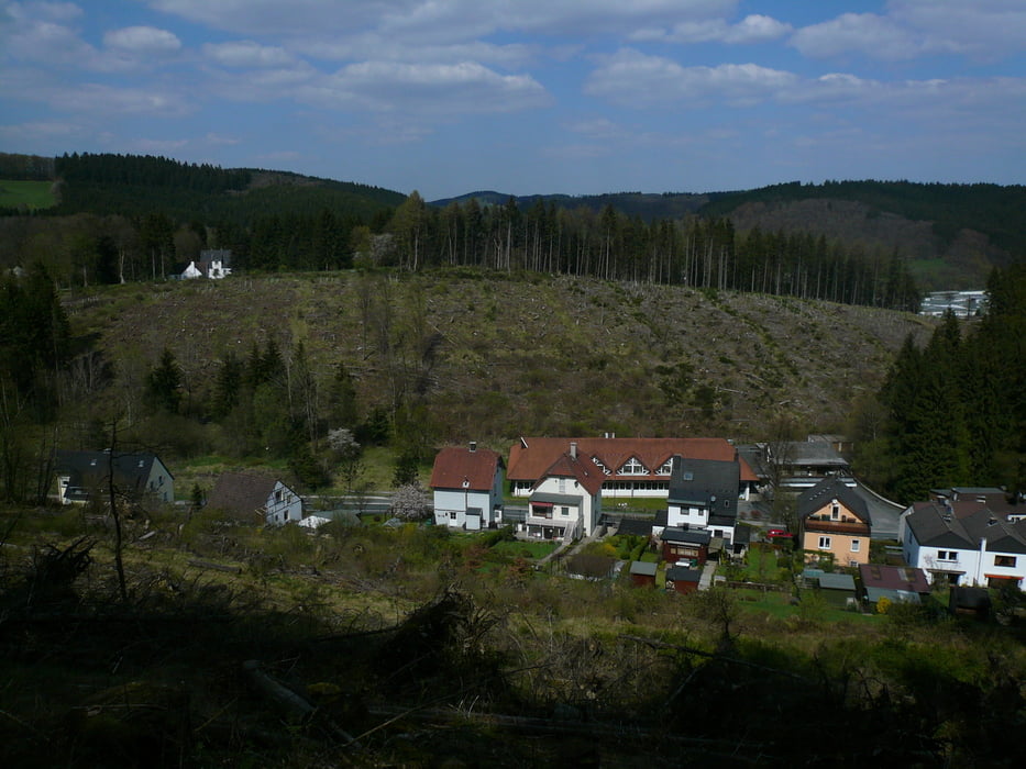
Zum Warmfahren für die 18km-Strecke des Nordic-Walking Days habe ich Halver auf bekannten Wegen abgefahren und nach der Runde den Tag abgerundet.

Further information at

http://nordicwalking-halver.de

Tour gallery

Tour map and elevation profile

  • Open Street Map
  • Google
Minimum height 311 m Maximum height 441 m Detailed view

More about the tour author

neuser
Member since 2010

Send private message

Comments

GPS tracks

Trackpoints
  • GPX / Garmin Map Source (gpx) download
  • TCX / Garmin Training Center® (tcx) download
  • CRS / Garmin Training Center® (crs) download
  • Google Earth (kml) download
  • G7ToWin (g7t) download
  • TTQV (trk) download
  • Overlay (ovl) download
  • Fugawi (txt) download
  • Kompass (DAV) Track (tk) download
  • Track data sheet (pdf) download
  • Original file of the author (gpx) download

More about the tour author

neuser
Member since 2010

Send private message
Share track
Add to my favorites
Remove from my favorites
Edit tags
My score
Rate
Track: Halver-und 18km-Runde des Escha-Nordicday
Type: Mountain bike
Distance: 38,5 km
Evaluated on:
Duration:
Day(s)
Hour(s)
Minute(s)
Score: Landscape Fun factor Fitness Technique