


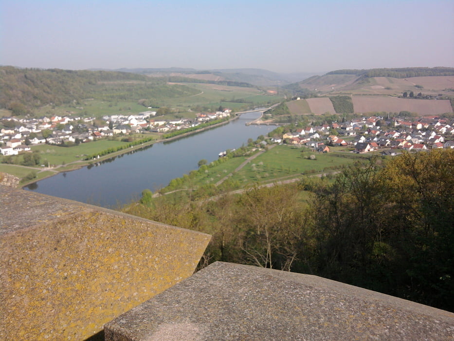
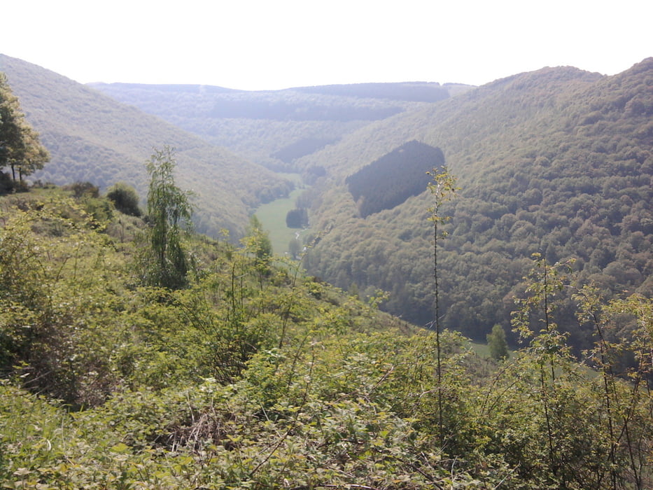
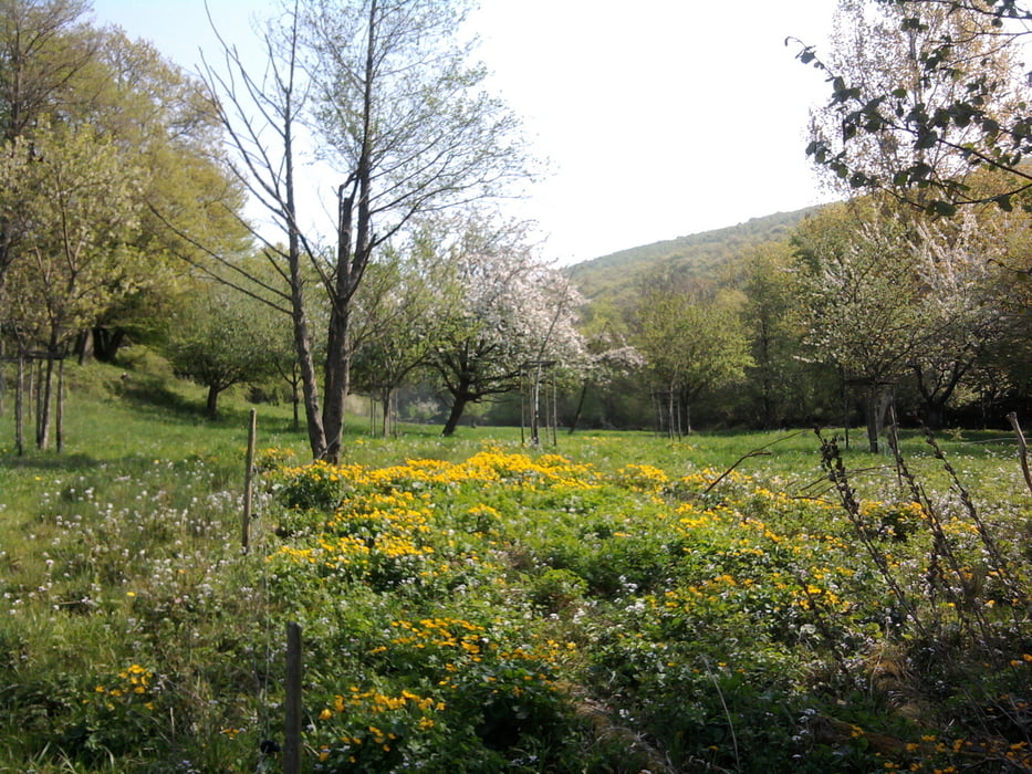
Wir starteten die Wanderung am Bahnhof von Schoden. Immer stetig bergan durch Weinberge mit schönen Ausblicken auf die Saar erreichen wir den Bismarkturm mit Ausblick auf den bekannten Weinberg "Ayler Kupp". Ab hier geht es weiter bergan durch Wiesen und freies Gelände bis zu einer Hütte, in der wir eine kurze Rast machten. Von hier geht es langsam meist bergab und wir erreichen nach ca. 10 km den Gasthof Gasthauer in Ockfen. Gut gestärkt ging es mit herrlichen Blicken auf die Saar durch Weinberge zum Bahnhof Saarburg.
Tour gallery
Tour map and elevation profile
Minimum height 136 m
Maximum height 378 m
More about the tour author

|
hase54295 |
Comments

Bahnhof Schoden
Bahnhof Saarburg
GPS tracks
Trackpoints-
GPX / Garmin Map Source (gpx) download
-
TCX / Garmin Training Center® (tcx) download
-
CRS / Garmin Training Center® (crs) download
-
Google Earth (kml) download
-
G7ToWin (g7t) download
-
TTQV (trk) download
-
Overlay (ovl) download
-
Fugawi (txt) download
-
Kompass (DAV) Track (tk) download
-
Track data sheet (pdf) download
-
Original file of the author (gpx) download
More about the tour author
|
|
hase54295 |
Add to my favorites
Remove from my favorites
Edit tags
Open track
My score
Rate