


Diese Rundtour beginnt an der Dörnigheimer Schleuse (oder wo Sie wollen). Sie führt über das Naherholungsgebiet "Dietesheimer Weiher", Alte Fasanerie, Wallfahrtsort Marienheide zum Harres See. Zurück geht es am Main entlang.
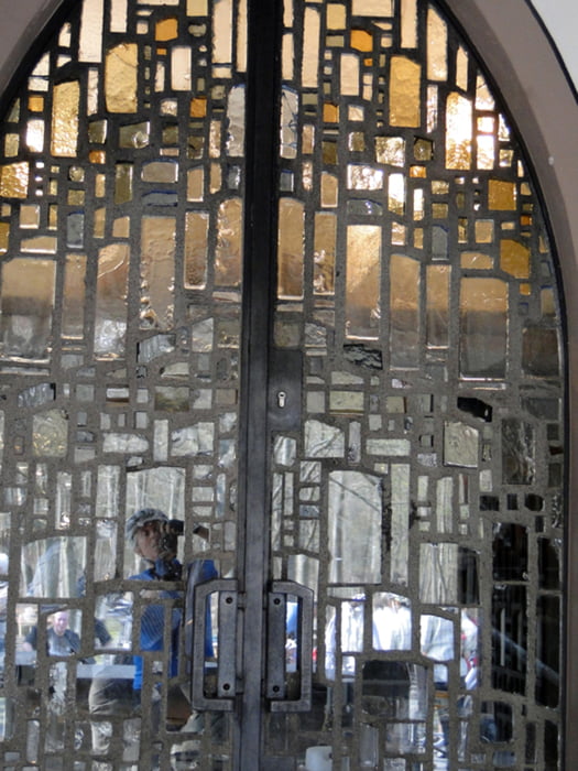
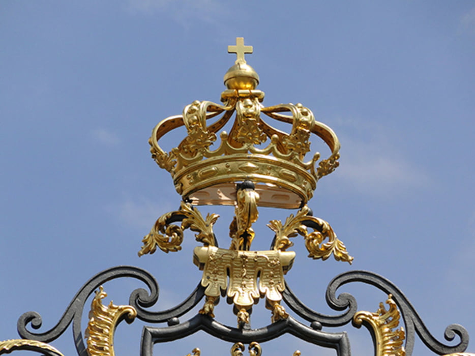
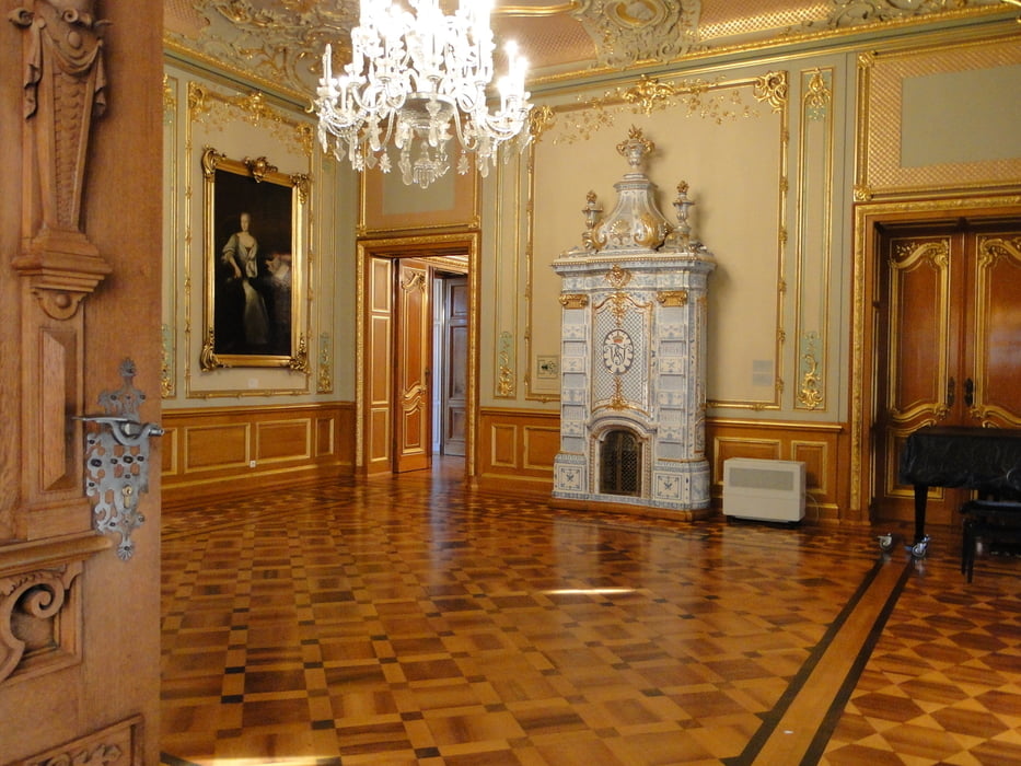
Sie können den Wildpark Alte Fasanerie besuchen, am Harres-See im Restaurant zu Mittag essen und danach in Klein-Krotzenburg "Köhler Küsse" oder Eis als Nachtisch geniesen. Eine Besichtigung von Schloß Philippsruh in Hanau-Kesselstadt ist auch zu empfehlen.
Links - unverbindlich - ohne Gewähr:
www.rhein-main-wiki.de/index.php
www.ristorante-am-harressee.de/
de.wikipedia.org/wiki/Schloss_Philippsruhe
Further information at
http://www.erlebnis-wildpark.de/Tour gallery

Tour map and elevation profile
Minimum height 86 m
Maximum height 126 m
More about the tour author
|
|
Bischemer |
Comments

Nach Maintal-Dörnigheim kommen Sie über die A66 oder von Frankfurt über die Hanauer Landstraße (B8). Am Main an der Uferstraße (links von der Fähre) gibt es auch genügend Parkplätze.
GPS tracks
Trackpoints-
GPX / Garmin Map Source (gpx) download
-
TCX / Garmin Training Center® (tcx) download
-
CRS / Garmin Training Center® (crs) download
-
Google Earth (kml) download
-
G7ToWin (g7t) download
-
TTQV (trk) download
-
Overlay (ovl) download
-
Fugawi (txt) download
-
Kompass (DAV) Track (tk) download
-
Track data sheet (pdf) download
-
Original file of the author (gpx) download
More about the tour author
|
|
Bischemer |
Add to my favorites
Remove from my favorites
Edit tags
Open track
My score
Rate