


Obereschach - Königsfeld - Brogen - Hutneck - St. Georgen - Langenschiltach - Staude - Gremelsbach - Windkapf - Reichenbach - Fohrenbühl - Hornberg - Offenbacher Eckle - Schonach - Schönwald - Oberkirnach - Stockwald - Groppertal - Mönchweiler - Villingen
Die Tour hat nur wenige Trails,
könnte auch mit einem Touren-Bike gefahren werden.
Die Tour ist eine Mischung aus befestigten Nebenstraßen und befestigten Waldwegen.
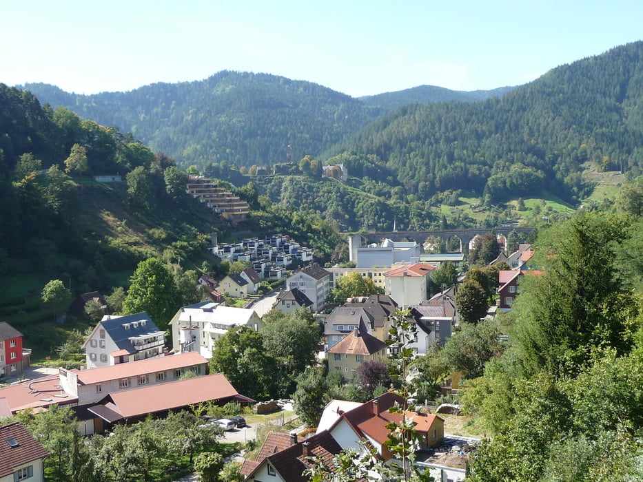
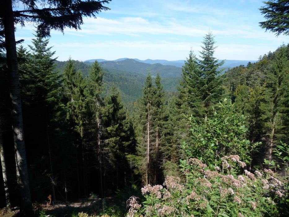
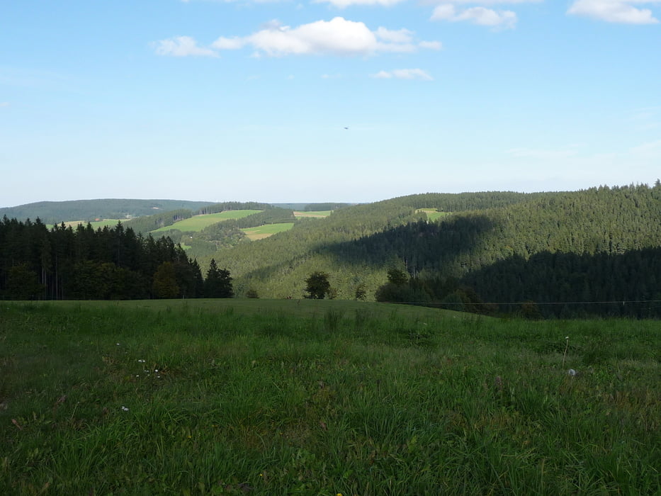
Tour gallery
Tour map and elevation profile
Minimum height 377 m
Maximum height 1040 m
More about the tour author
|
|
BadenBiker |
Comments

Überregional über die A8 Ausfahrt Rottweil oder Villingen-Schwenningen
alternativ über die B33 Villingen-Schwenningen - Hornberg
Einen bestimmten Einstiegspunkt möchte ich nicht empfehlen.
GPS tracks
Trackpoints-
GPX / Garmin Map Source (gpx) download
-
TCX / Garmin Training Center® (tcx) download
-
CRS / Garmin Training Center® (crs) download
-
Google Earth (kml) download
-
G7ToWin (g7t) download
-
TTQV (trk) download
-
Overlay (ovl) download
-
Fugawi (txt) download
-
Kompass (DAV) Track (tk) download
-
Track data sheet (pdf) download
-
Original file of the author (gpx) download
More about the tour author
|
|
BadenBiker |
Add to my favorites
Remove from my favorites
Edit tags
Open track
My score
Rate