


Gestartet sind wir in Merxheim und sind über Rouffach nach Kayersberg gefahren. Die Strecke, die wir gewählt haben, war stellenweise durch Umleitungen und verblichene Beschilderungen nicht so prickelnd. Aber ab Kayersberg ist es eindeutig. Es gibt manchmal eine Parallelstraße zur (in der Woche stark von LKW benutzt wird) Hauptstraße.
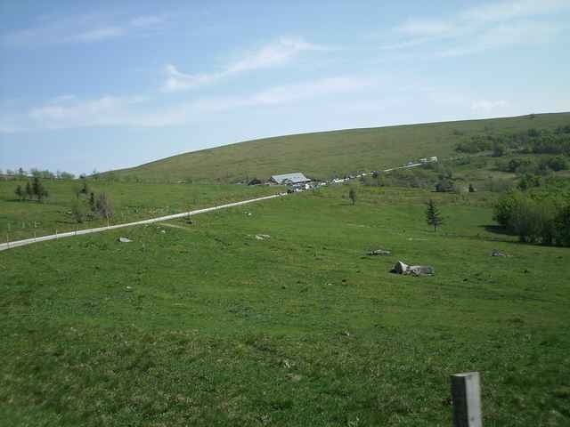
Ab Col du Bonhomme geht es über die Route des Cretes schön immer mal wieder rauf und runter. Das Teilstück ab La Schlucht ist fast noch schöner als das erste. Die Abfahrt ist schnell und gefahrlos, weil wenige Kurven die Fahrt unterbrechen.
Ab Col du Bonhomme geht es über die Route des Cretes schön immer mal wieder rauf und runter. Das Teilstück ab La Schlucht ist fast noch schöner als das erste. Die Abfahrt ist schnell und gefahrlos, weil wenige Kurven die Fahrt unterbrechen.
Further information at
http://www.rissen.de/radfreundeTour gallery
Tour map and elevation profile
Minimum height 220 m
Maximum height 1264 m
More about the tour author

|
wilf |
Comments

GPS tracks
Trackpoints-
GPX / Garmin Map Source (gpx) download
-
TCX / Garmin Training Center® (tcx) download
-
CRS / Garmin Training Center® (crs) download
-
Google Earth (kml) download
-
G7ToWin (g7t) download
-
TTQV (trk) download
-
Overlay (ovl) download
-
Fugawi (txt) download
-
Kompass (DAV) Track (tk) download
-
Track data sheet (pdf) download
-
Original file of the author (gpx) download
More about the tour author
|
|
wilf |
Add to my favorites
Remove from my favorites
Edit tags
Open track
My score
Rate