
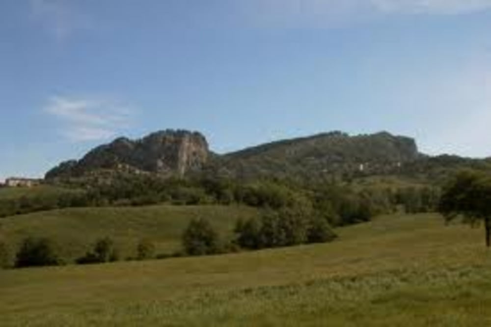

Start in Cesenatico - danach über die klassische Strecke nach Ponte Verruchio. Da gäbe es auch Varianten über weniger befahrene Straßen. Danach folgt der Klassiker nach San Leo und weiter nach Madonna di Pugliano, nach einer kurzen Abfahrt geht es auf den berühmten Carpegna - endlich wird die Höhe vierstellig.
Danach auf die Abfahrt nach Novafeltria und dann über Perticara und den Höhenrücken von Sogliano zurück nach Cesenatico - in Summe sehr empfehlenswert.
Viel Spaß
Tour map and elevation profile
Minimum height -3 m
Maximum height 1002 m
More about the tour author
|
|
maschwa |
Comments

GPS tracks
Trackpoints-
GPX / Garmin Map Source (gpx) download
-
TCX / Garmin Training Center® (tcx) download
-
CRS / Garmin Training Center® (crs) download
-
Google Earth (kml) download
-
G7ToWin (g7t) download
-
TTQV (trk) download
-
Overlay (ovl) download
-
Fugawi (txt) download
-
Kompass (DAV) Track (tk) download
-
Track data sheet (pdf) download
-
Original file of the author (tcx) download
More about the tour author
|
|
maschwa |
Add to my favorites
Remove from my favorites
Edit tags
Open track
My score
Rate