Login

Forgot your login?

Cookies have to be accepted!
Your browser's cookie functionality is disabled. Please enable this functionality.

Not a member yet?

Register now
Login

Available for registred users only

Log in to use this feature.

Forgot your login?

Cookies have to be accepted!
Your browser's cookie functionality is disabled. Please enable this functionality.

Not a member yet?

Register now
Filter
Categories
Advanced filters
  • Distance (km)
  • Height
Save filters Reset filter

TrackRank

QRCode

Technical data

Distance50,2 km Height880 m Way down877 m Duration04:22 h:m Date09.05.2011
Scores Author Landscape Fun factor Fitness Technique

Statistics

453 Views Scores 49 Downloads Average
Rate
  • Track data sheet
  • Directions
  • Downloads
Die Tour habe ich von dem MTB-Amorbach die Problemlos mit dem Trekkinbike gefahren werden kann.

Further information at
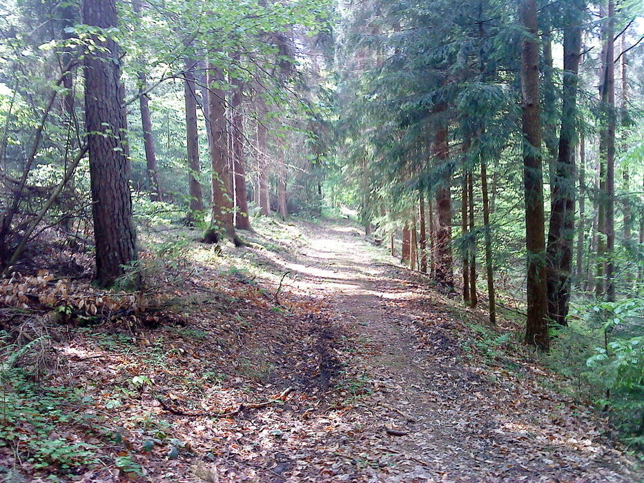
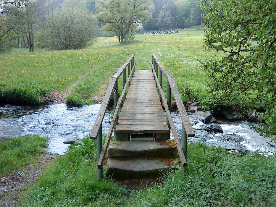
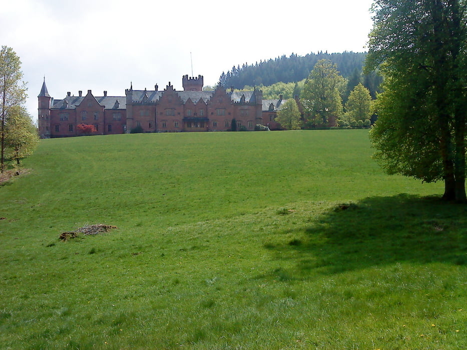
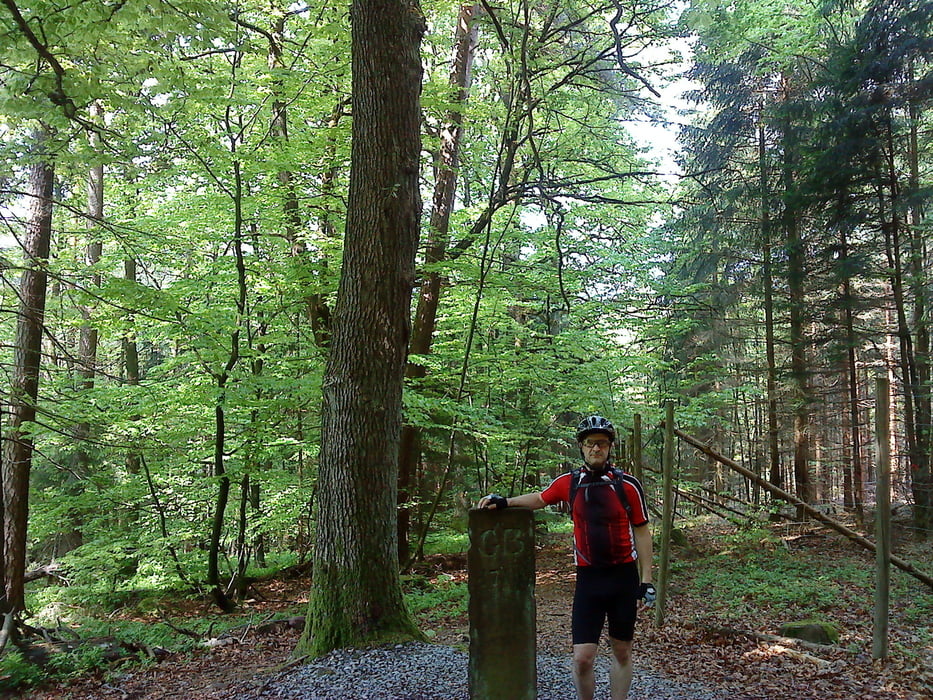
http://mtb-amorbach.de

Tour gallery

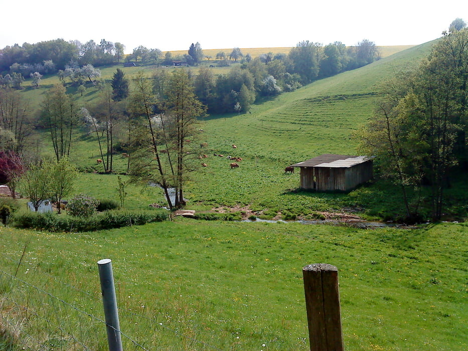
Tour map and elevation profile

  • Open Street Map
  • Google
Minimum height 158 m Maximum height 555 m Detailed view

More about the tour author

Wollibalou
Member since 2009

Send private message

Comments

MuellerD on 26.05.2011

Wochenend Tour im Juli

Ich will mit meiner Radgruppe am 15-18.07.2011 ein Rad Wochende in Amorbach verbringen. Die Tour von ihnen sieht gut aus und wir werden sie wahrscheinlich fahren. Was ist das für ein schloss auf dem Bild oben siehr nach England aus.

Gruß Müller Dietmar

das ist Schloss waldleiningen und ist eine Klinik.

GPS tracks

Trackpoints
  • GPX / Garmin Map Source (gpx) download
  • TCX / Garmin Training Center® (tcx) download
  • CRS / Garmin Training Center® (crs) download
  • Google Earth (kml) download
  • G7ToWin (g7t) download
  • TTQV (trk) download
  • Overlay (ovl) download
  • Fugawi (txt) download
  • Kompass (DAV) Track (tk) download
  • Track data sheet (pdf) download
  • Original file of the author (gpx) download

More about the tour author

Wollibalou
Member since 2009

Send private message
Share track
Add to my favorites
Remove from my favorites
Edit tags
My score
Rate
Track: Drei Bundesländer Tour
Type: Mountain bike
Distance: 50,2 km
Evaluated on:
Duration:
Day(s)
Hour(s)
Minute(s)
Score: Landscape Fun factor Fitness Technique