


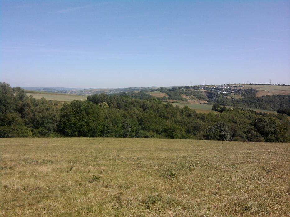
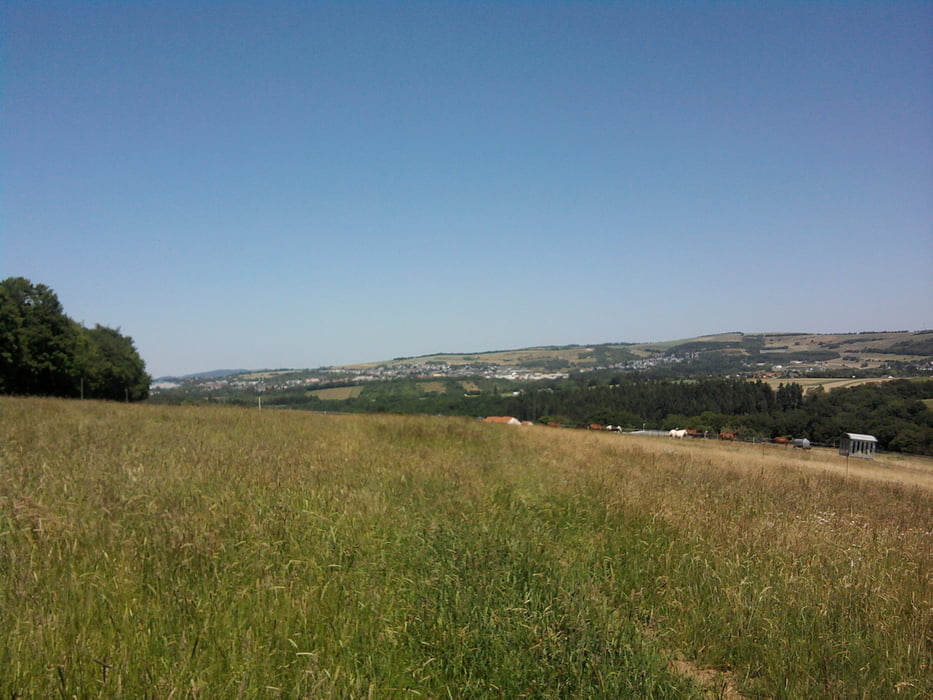
Wir starteten die Wanderung am Parkplatz Trier Mariahof. Erst ging es in den Mattheiser Wald. Leicht bergan errreichten wir das obere Tiergartental. Immer auf der Höhe folgten wir dem Tiergartenbach. Nach ca. 4km überquerten wir den Bach und bald ging es aus dem Schatten auf die sonnige Höhe von Pellingen. Doch bald hatten wir das schöne Naturfreundehaus von Franzenheim erreicht, wo wir eingeladen waren. Nach einer schönen Rast und Stärkung gingen wir auf der anderen Seite des Tiergartenbaches nach Maria Hof zurück.
Tour gallery
Tour map and elevation profile
Minimum height 180 m
Maximum height 424 m
More about the tour author

|
hase54295 |
Comments

Bus nach Trier Maria Hof
Parkplatkoordinaten: N49 43.584 E6 39.365
GPS tracks
Trackpoints-
GPX / Garmin Map Source (gpx) download
-
TCX / Garmin Training Center® (tcx) download
-
CRS / Garmin Training Center® (crs) download
-
Google Earth (kml) download
-
G7ToWin (g7t) download
-
TTQV (trk) download
-
Overlay (ovl) download
-
Fugawi (txt) download
-
Kompass (DAV) Track (tk) download
-
Track data sheet (pdf) download
-
Original file of the author (gpx) download
More about the tour author
|
|
hase54295 |
Add to my favorites
Remove from my favorites
Edit tags
Open track
My score
Rate