

Ohrdruf - Oberhof - Schmücke - Gehlberg - Gräfenroda - Crawinkel - Arnstadt - Erfurt
Die Tour startet in Ohrdruf und führt durch den Thüringer Wald zunächst nach Oberhof. Von dort aus geht es weiter zur Schmücke. Jetzt hat man die größten Anstiege geschafft und kann entspannt durch das Örtchen Gehlberg rollen (auf diesem Abschnitt hauptsächlich Straße). Von Gehlberg geht es weiter nach Gräfenroda und dann schließlich nach Crawinkel.
Jetzt folgt man dem Bach Radweg bis nach Arnstadt. Hier geht es mit dem Geraradweg zurück nach Erfurt.
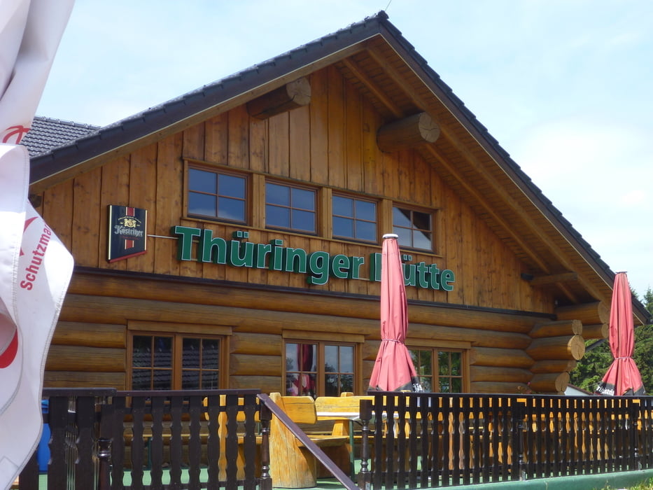
In der Tour wurden diverse Gaststätten wie z.b. Steiger Haus, die Thüringer Hütte in Oberhof und das Brauhaus in Arnstadt angefahren. Ich habe diese "Schlenker" in der Tour gelassen.
Tour gallery
Tour map and elevation profile
Minimum height 194 m
Maximum height 965 m
More about the tour author

|
Paradoxusus |
Comments

Per Zug nach Ohrdruf fahren, dann ein Stück durch die Stadt und es kann los gehen.
GPS tracks
Trackpoints-
GPX / Garmin Map Source (gpx) download
-
TCX / Garmin Training Center® (tcx) download
-
CRS / Garmin Training Center® (crs) download
-
Google Earth (kml) download
-
G7ToWin (g7t) download
-
TTQV (trk) download
-
Overlay (ovl) download
-
Fugawi (txt) download
-
Kompass (DAV) Track (tk) download
-
Track data sheet (pdf) download
-
Original file of the author (gpx) download
More about the tour author
|
|
Paradoxusus |
Add to my favorites
Remove from my favorites
Edit tags
Open track
My score
Rate