


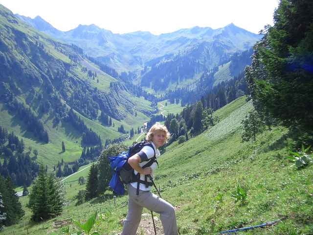
Eher wenig begangener Weg stets im hochalpinen 2000 Meter-Bereich, trotzdem unkritisch - z.B. auch mit Kindern begehbar. Man kommt am Koblat-, Laufbichl- und dem Engeratsgundsee vorbei, weite Strecke geht parallel des links oberhalb über den Grat verlaufenden Hindelanger Klettersteiges, am Schluss recht flotter Abstieg ins Tal mit empfohlener Rast in der Engeratsgundalpe. Beim Abstieg stest schöner Blick tief hinunter ins Hintersteiner- und ins Bärgündletal.
Tour gallery
Tour map and elevation profile
Minimum height 825 m
Maximum height 2020 m
More about the tour author

|
nussi |
Comments

Nach Oberstdorf Nebelhorn-Talstation, mit der Bahn hochfahren bis zur Bergstation Höfatsblick (wer will kann auch in 2 Std hoch laufen) - dem Routenverlauf folgen bis zum Giebelhaus im Hintersteiner Tal, von dort mit Bus (jede volle Stunde nach Hinterstein, weiter mit Bus zurück bis Oberstdorf
GPS tracks
Trackpoints-
GPX / Garmin Map Source (gpx) download
-
TCX / Garmin Training Center® (tcx) download
-
CRS / Garmin Training Center® (crs) download
-
Google Earth (kml) download
-
G7ToWin (g7t) download
-
TTQV (trk) download
-
Overlay (ovl) download
-
Fugawi (txt) download
-
Kompass (DAV) Track (tk) download
-
Track data sheet (pdf) download
-
Original file of the author (g7t) download
More about the tour author
|
|
nussi |
Add to my favorites
Remove from my favorites
Edit tags
Open track
My score
Rate