


Hier handelt es sich um eine Tour mit wunderbaren Aussichten auf Dortmund. Damit verbunden sind auch einige Steigungen. Man sollte einigermaßen im Training sein.
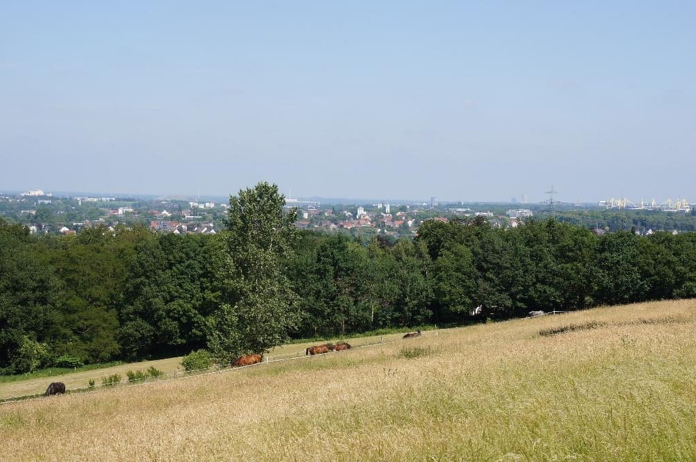
- Aussicht 1: Halde Gotthelf in Hombruch, www.ruhrgebiet-industriekultur.de/halde-gotthelf.html
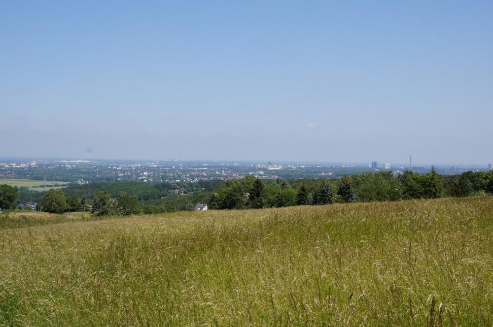
- Aussicht 2: Blickstraße (Name ist Programm)
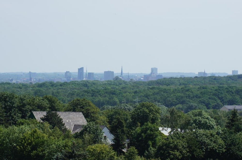
- Aussicht 3: Schnee, http://de.wikipedia.org/wiki/Dortmund-Schnee, de.wikipedia.org/wiki/Dortmund-Schnee
- Aussicht 4: Joseph-von-Fraunhofer-Str. (Technologiepark), www.technologiepark.de/
- Aussicht 5: Mosselde, www.tante-amanda.de/
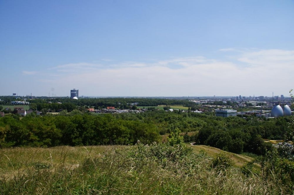
- Aussicht 6: Deusenberg, www.edg-mountainbike-arena.de/
Zur Halde Gotthelf in Hombruch geht es sehr steil hinauf - Rutschgefahr!
Vom Schnee hinunter geht es mitten durch den Wald. Das ist aber auch mit einem Cross-Bike gut zu bewältigen.
Eine schöne Einkehr gibt es bei "Tante Amanda", www.tante-amanda.de/
P.S. Jetzt mit Höhenprofil :-)
Tour gallery
Tour map and elevation profile
Minimum height 64 m
Maximum height 250 m
More about the tour author
|
|
Kapsouris |
Comments

Als Startpunkt bietet sich die S-Bahn-Station Dortmund-Dorstfeld an
GPS tracks
Trackpoints-
GPX / Garmin Map Source (gpx) download
-
TCX / Garmin Training Center® (tcx) download
-
CRS / Garmin Training Center® (crs) download
-
Google Earth (kml) download
-
G7ToWin (g7t) download
-
TTQV (trk) download
-
Overlay (ovl) download
-
Fugawi (txt) download
-
Kompass (DAV) Track (tk) download
-
Track data sheet (pdf) download
-
Original file of the author (gpx) download
More about the tour author
|
|
Kapsouris |
Add to my favorites
Remove from my favorites
Edit tags
Open track
My score
Rate