


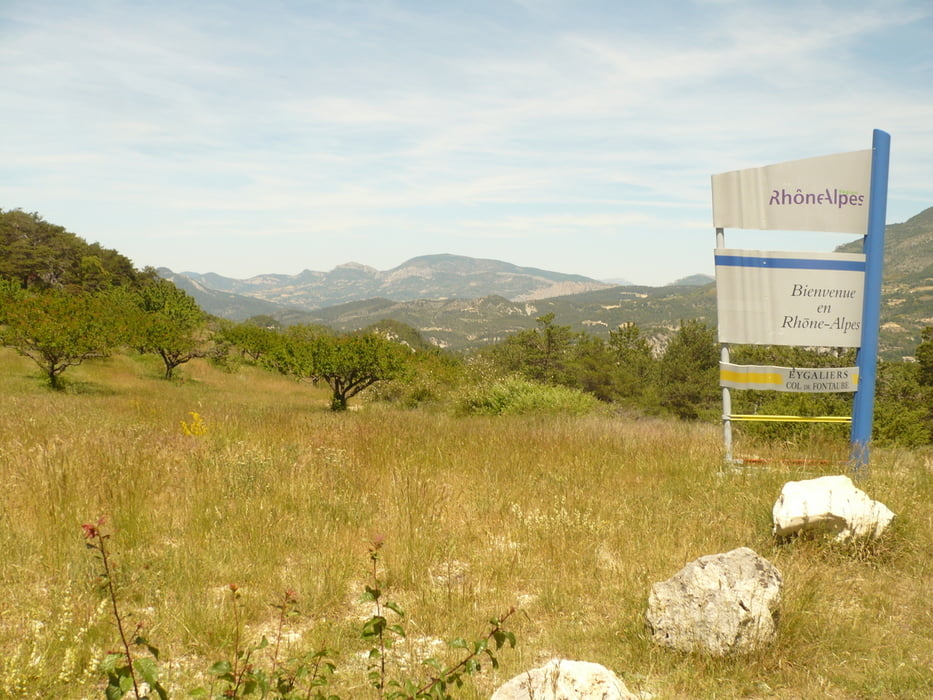
Superschöne Tour von Vaison über Puymeras auf einem wunderbaren Sträßchen nach Propriac und dann in Richtung Buis-les-Baronnies. Dann aber nicht nach Buis sondern rechts in Richtung Mollans und dann bald links Richtung Sault/Brantes hinauf zum Col de Fontaube. Der Aufstieg ist relativ gemächlich durch ein wunderbares Tal. Vom Pass hat man dann einen ganz wunderbaren Blick auf den Mont Ventoux. Dann hat man eine ganz tolle Abfahrt durch Brantes und gelangt dann auf die Straße durch das Toulourenc Tal, die sich ganz wunderbar fahren lässt. Noch einmal muss ein Hügel überwunden werden und dann geht es mehrt oder weniger nur noch bergab zurück nach Vaison.
Tour gallery
Tour map and elevation profile
Minimum height 211 m
Maximum height 631 m
More about the tour author
|
|
thomi64 |
Comments

GPS tracks
Trackpoints-
GPX / Garmin Map Source (gpx) download
-
TCX / Garmin Training Center® (tcx) download
-
CRS / Garmin Training Center® (crs) download
-
Google Earth (kml) download
-
G7ToWin (g7t) download
-
TTQV (trk) download
-
Overlay (ovl) download
-
Fugawi (txt) download
-
Kompass (DAV) Track (tk) download
-
Track data sheet (pdf) download
-
Original file of the author (gpx) download
More about the tour author
|
|
thomi64 |
Add to my favorites
Remove from my favorites
Edit tags
Open track
My score
Rate