


Die Wanderung gehört zu den Premiumwanderwegen des Saar-Hunsrück-Steiges. Eine detailierte Beschreibung der Wanderung zum Ausrucken findet man unter
http://weiskirchen.digital-bandits.de/fileadmin/download/PDF/Georgi.pdf
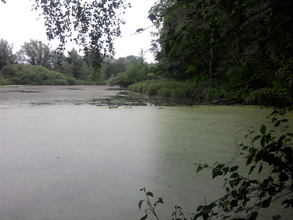
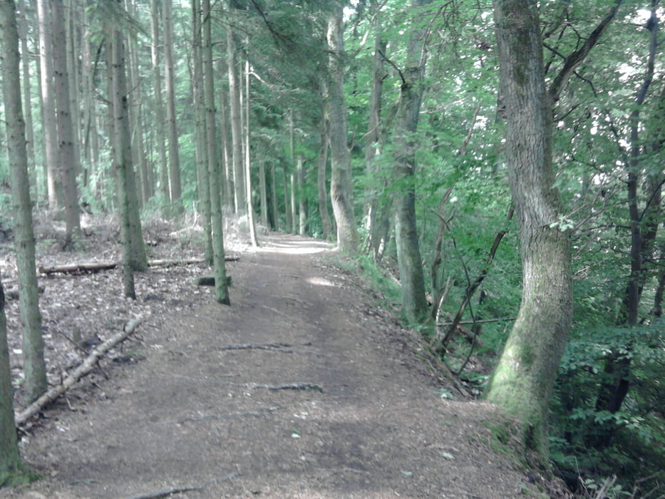
Es ist eine Abwechslungsreiche Tour mit schattigen Wegen am Bach oder offenes Feld mit Panoramablicken. In dem urigen Restaurant School Kättchen Cafe haben wir die Wanderung mit einem guten Essen abgeschlossen.
Further information at
http://weiskirchen.digital-bandits.de/fileadmin/download/PDF/Georgi.pdfTour gallery
Tour map and elevation profile
Minimum height 290 m
Maximum height 357 m
More about the tour author

|
hase54295 |
Comments

Parkplatz in Weierweiler N49 31.437 E6 49.208
oder
School Kättchen Cafe
Dorfstraße 12
66709 Weiskirchen
GPS tracks
Trackpoints-
GPX / Garmin Map Source (gpx) download
-
TCX / Garmin Training Center® (tcx) download
-
CRS / Garmin Training Center® (crs) download
-
Google Earth (kml) download
-
G7ToWin (g7t) download
-
TTQV (trk) download
-
Overlay (ovl) download
-
Fugawi (txt) download
-
Kompass (DAV) Track (tk) download
-
Track data sheet (pdf) download
-
Original file of the author (gpx) download
More about the tour author
|
|
hase54295 |
Add to my favorites
Remove from my favorites
Edit tags
Open track
My score
Rate