


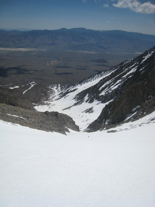
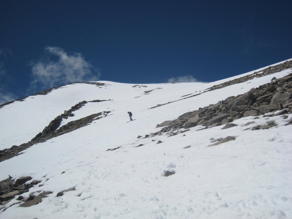
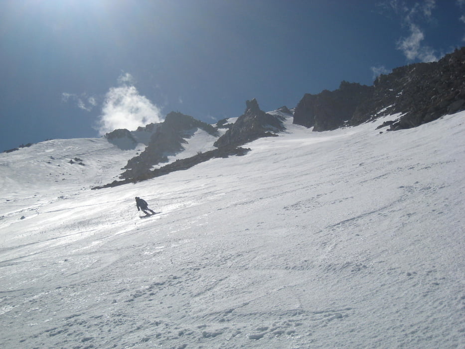
Vom Parklatz zuerst ein kleines Stück der Straße entlang, dann zu Bachbett nach links queren. Hier hält sich der Schnee sehr lange. Schnee ab 2200m. im Bachbett links haltend empor . Hier blieben wir zu lange im Bachbett und mussten 75Hm über die Moräne absteigen. Idealroute siehe Abfahrt vom Split Mountain. Durch das Tal und rechts durch Couloir empor, oben rechts haltendund im großen Linksbogen zum Gipfel. Bei der Abfahrt verpassten wir die Einfahrt in die Ost-Rinne und mussten wieder aufsteigen, da das gewählte Couloir uns wieder zum Aufstieg (vermutlich mit einer leichten Kletterpassage) gebracht hätte. Dann Abfahrt über das ca. 35° Couloir und das Aufstiegsbachbett bis ca. 20min oberhalb des Autos.
Tour gallery
Tour map and elevation profile
Minimum height 1973 m
Maximum height 4147 m
More about the tour author

|
Gi |
Comments

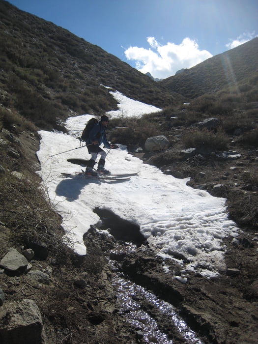
Von US 395 in Big Pine auf die W.Crocker street abbiegen, dann links abbiegen auf die Mc Murrys Meadow dirt road. Die letzten 0.5 Kilometer nur mit hoher Bodenfreiheit fahrbar.
GPS tracks
Trackpoints-
GPX / Garmin Map Source (gpx) download
-
TCX / Garmin Training Center® (tcx) download
-
CRS / Garmin Training Center® (crs) download
-
Google Earth (kml) download
-
G7ToWin (g7t) download
-
TTQV (trk) download
-
Overlay (ovl) download
-
Fugawi (txt) download
-
Kompass (DAV) Track (tk) download
-
Track data sheet (pdf) download
-
Original file of the author (gpx) download
More about the tour author
|
|
Gi |
Add to my favorites
Remove from my favorites
Edit tags
Open track
My score
Rate