


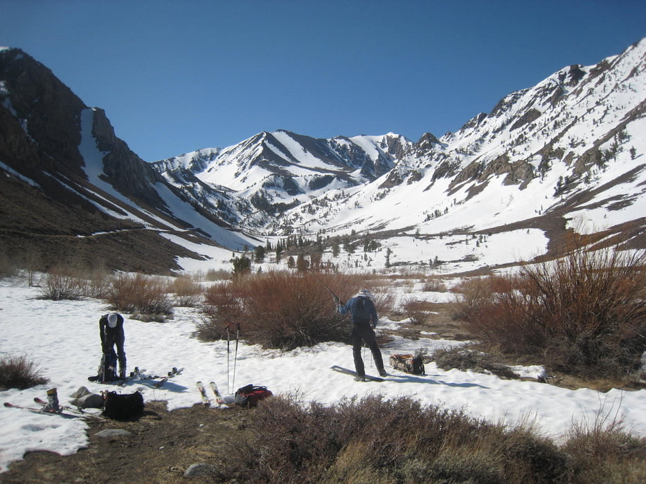
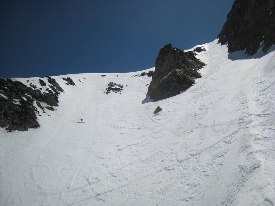
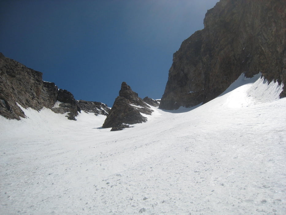
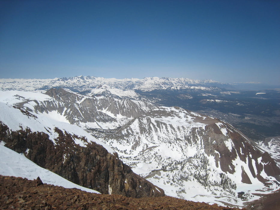
DER Steilabfahrts-Klassiker in der Sierra. Heute eine immer noch steile aber bei guten Verhältnissen sichere Abfahrt. Anfang Mai mussten wir die Ski eine gute halbe Stunde bis zum Schnee tragen. Auf der Abfahrt fanden wir ein Schneeband was uns mit einer kurzen Querung zu Fuß fast bis zum Auto brachte. Das offensichtliche Couloir hinauf, wir hatten gute Verhältnisse und konnten mit Harscheisen bis zum Gipfel gehen. Abfahrt durch den westl. Zweig des Couloirs
Tour gallery
Tour map and elevation profile
Minimum height 2369 m
Maximum height 3810 m
More about the tour author

|
Gi |
Comments

Von der US 395 etwas südlich der Abzweigung nach Mamoth auf die Sherwin Creek road, dann je nach Schneeverhältnissen links auf die Laurel Creek road bis zur Schneegrenze
GPS tracks
Trackpoints-
GPX / Garmin Map Source (gpx) download
-
TCX / Garmin Training Center® (tcx) download
-
CRS / Garmin Training Center® (crs) download
-
Google Earth (kml) download
-
G7ToWin (g7t) download
-
TTQV (trk) download
-
Overlay (ovl) download
-
Fugawi (txt) download
-
Kompass (DAV) Track (tk) download
-
Track data sheet (pdf) download
-
Original file of the author (gpx) download
More about the tour author
|
|
Gi |
Add to my favorites
Remove from my favorites
Edit tags
Open track
My score
Rate