
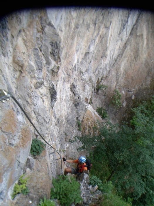

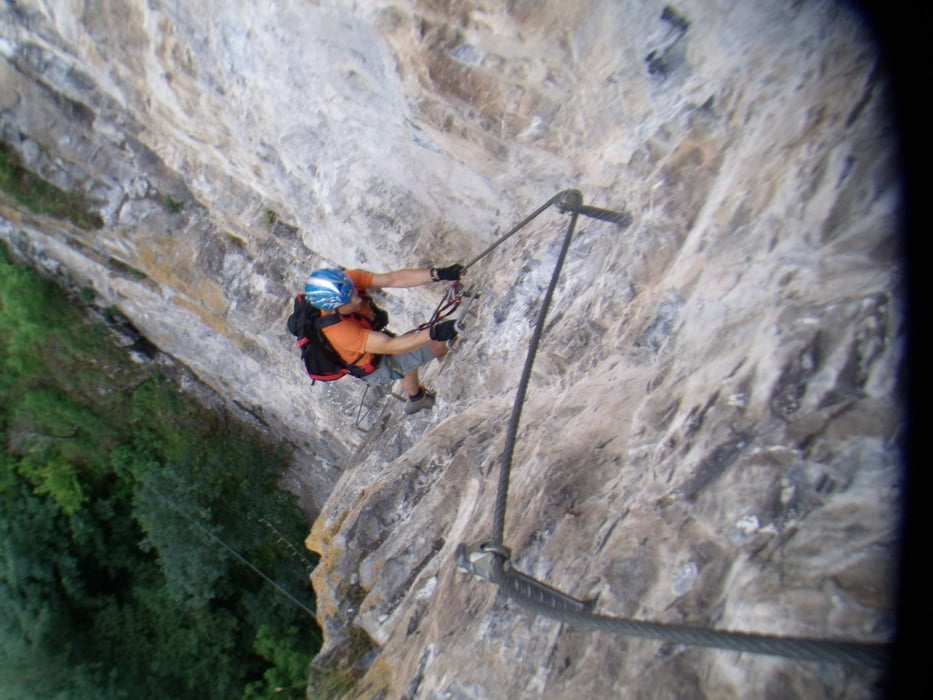
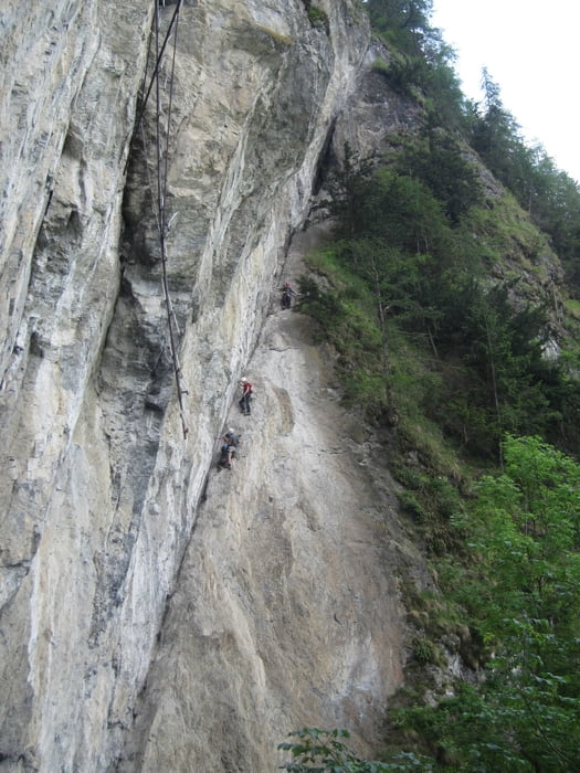
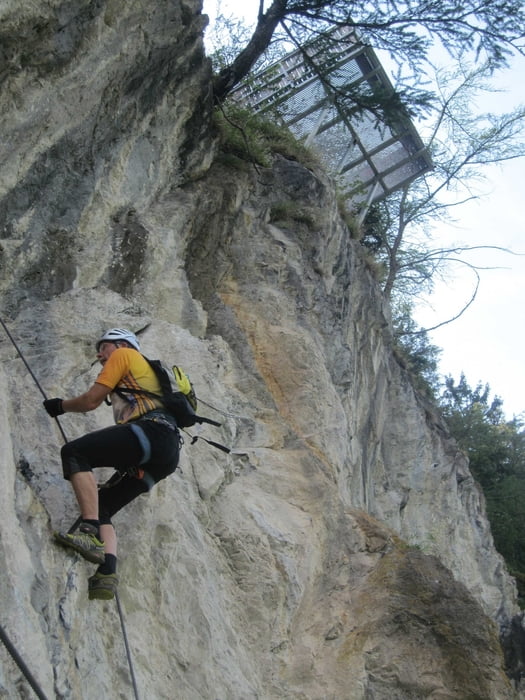
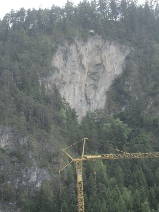
Vom Parkplatz in Kürze zum Einsteig. Nach ca. 100 m unter der großen Wand teilt sich der Steig in einen schweren(links) und einen leichten (rechts). Dann luftig aber gut gesichert und mit Trittstiften ausgestattet gerade hinauf bis zum Aussichtsplateau. Der Abstieg führt recht steil durch einen moosigen Wald.
Tour gallery
Tour map and elevation profile
Minimum height 864 m
Maximum height 1050 m
More about the tour author
|
|
renrew |
Comments

A12 Abfahrt Imst und dann weiter Richtung Pitztal bis nach Arzl.
GPS tracks
Trackpoints-
GPX / Garmin Map Source (gpx) download
-
TCX / Garmin Training Center® (tcx) download
-
CRS / Garmin Training Center® (crs) download
-
Google Earth (kml) download
-
G7ToWin (g7t) download
-
TTQV (trk) download
-
Overlay (ovl) download
-
Fugawi (txt) download
-
Kompass (DAV) Track (tk) download
-
Track data sheet (pdf) download
-
Original file of the author (gpx) download
More about the tour author
|
|
renrew |
Add to my favorites
Remove from my favorites
Edit tags
Open track
My score
Rate