


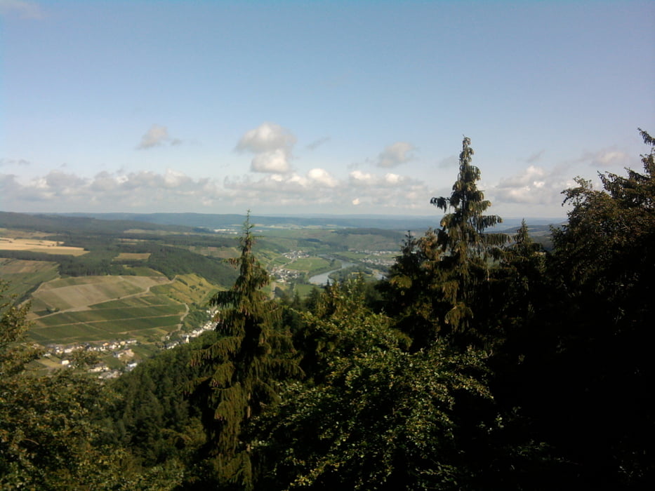
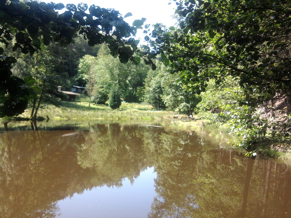
Vom Parkplatz Mehringer Höhe ging es recht schnell in den Wald. Der erste Höhepunkt war der Aussichtsturm "Fünf Seen Blick". Angeblich kann man von hier 5 Teile der Mosel sehen. Ich war mit den 3 Abschnitten, die deutlich vor uns lagen auch sehr zufrieden. Die Sicht war einmalig. Über die Mehringer Höhe ( auch alles mindestens Halbschatten ) kamen wir dann in das verwunschene Schandelbachtal mit einigen Fischweihern. Leider hatten wir zu den dazugehörigen Ruheplätzen keinen Zutritt. Es ist eine wunderbare Wanderung speziell für heisse Sommertage.
Tour gallery
Tour map and elevation profile
Minimum height 282 m
Maximum height 443 m
More about the tour author

|
hase54295 |
Comments

Mit dem Pkw von Trier Richtung Saarbrücken auf der A1
1. Abfahrt Mehringer Höhe auf die L150 Richtung Thalfang Parkplatz links
GPS tracks
Trackpoints-
GPX / Garmin Map Source (gpx) download
-
TCX / Garmin Training Center® (tcx) download
-
CRS / Garmin Training Center® (crs) download
-
Google Earth (kml) download
-
G7ToWin (g7t) download
-
TTQV (trk) download
-
Overlay (ovl) download
-
Fugawi (txt) download
-
Kompass (DAV) Track (tk) download
-
Track data sheet (pdf) download
-
Original file of the author (gpx) download
More about the tour author
|
|
hase54295 |
Add to my favorites
Remove from my favorites
Edit tags
Open track
My score
Rate