

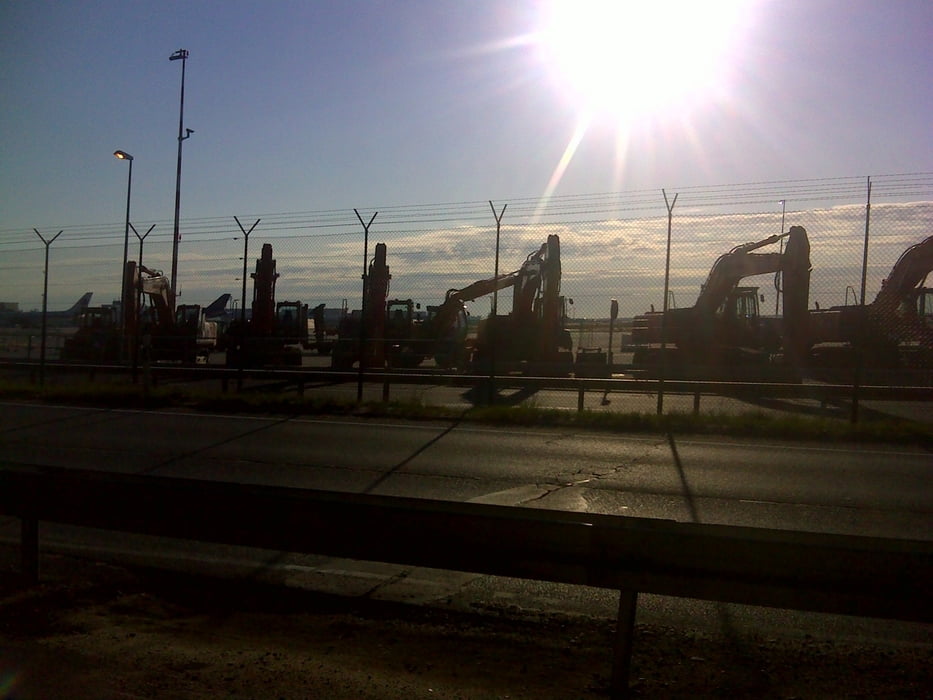
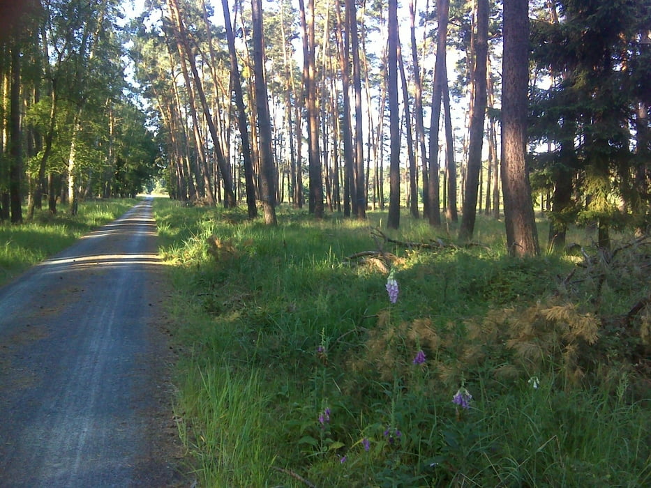
Von Frankfurt geht es Richtung Flugghafen durch schattige Wälder. Nach ca. 10 km fährt man zwischen Autobahn und Terminal derzeit zwischen der Nord-Süd Landebahn und der gerade in Bau befindlichen Landebahn durch (Viel Beton, Bagger und Verkehr).
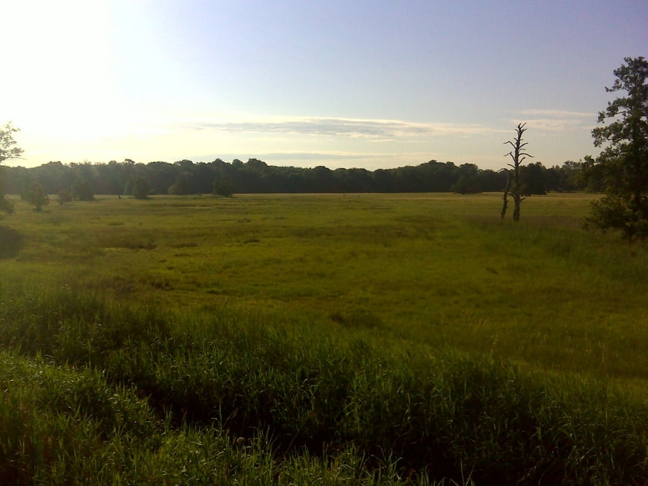
Nach weiteren 5 km gelangt man in ein wunderschönes Naturschutzgebiet. In den frühen Morgenstunden sieht man viele Tiere.
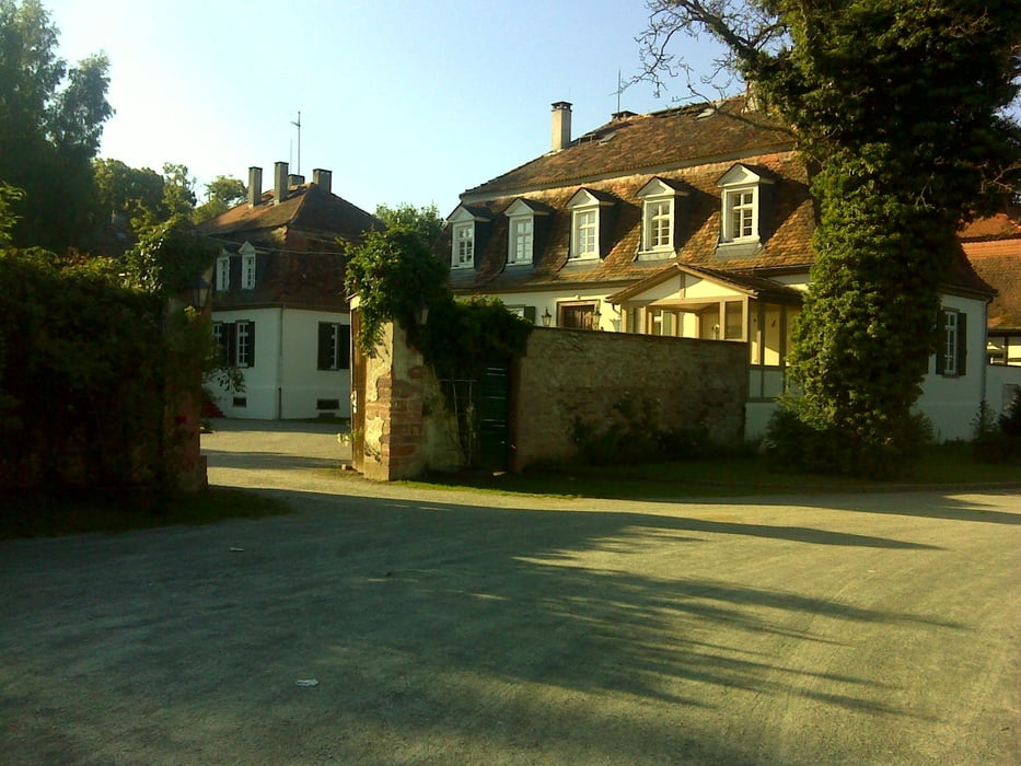
Am Kloster Mönchbruch ist der entfernteste Punkt erreicht und man fährt zwischen Mörfelden und Flughafen zurück Richtung Frankfurt.
Tour gallery
Tour map and elevation profile
Minimum height 47 m
Maximum height 120 m
More about the tour author

|
hans1969 |
Comments

GPS tracks
Trackpoints-
GPX / Garmin Map Source (gpx) download
-
TCX / Garmin Training Center® (tcx) download
-
CRS / Garmin Training Center® (crs) download
-
Google Earth (kml) download
-
G7ToWin (g7t) download
-
TTQV (trk) download
-
Overlay (ovl) download
-
Fugawi (txt) download
-
Kompass (DAV) Track (tk) download
-
Track data sheet (pdf) download
-
Original file of the author (gpx) download
More about the tour author
|
|
hans1969 |
Add to my favorites
Remove from my favorites
Edit tags
Open track
My score
Rate