


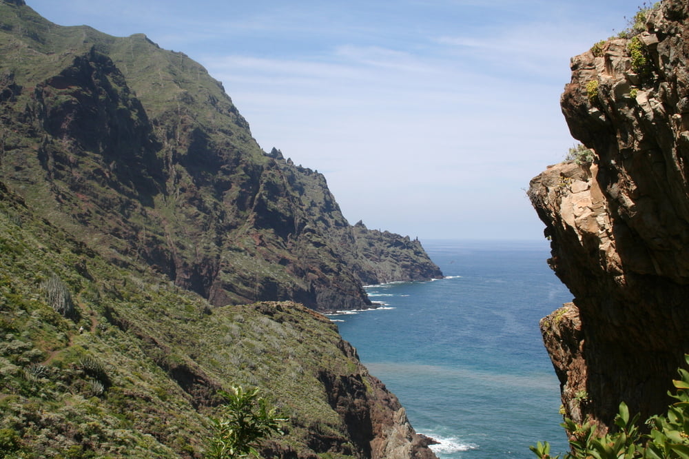
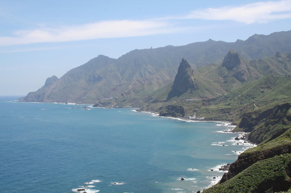
Herrliche Ausblicke übers Meer
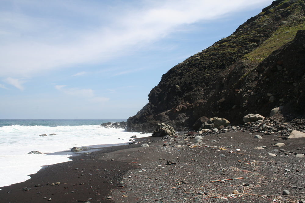
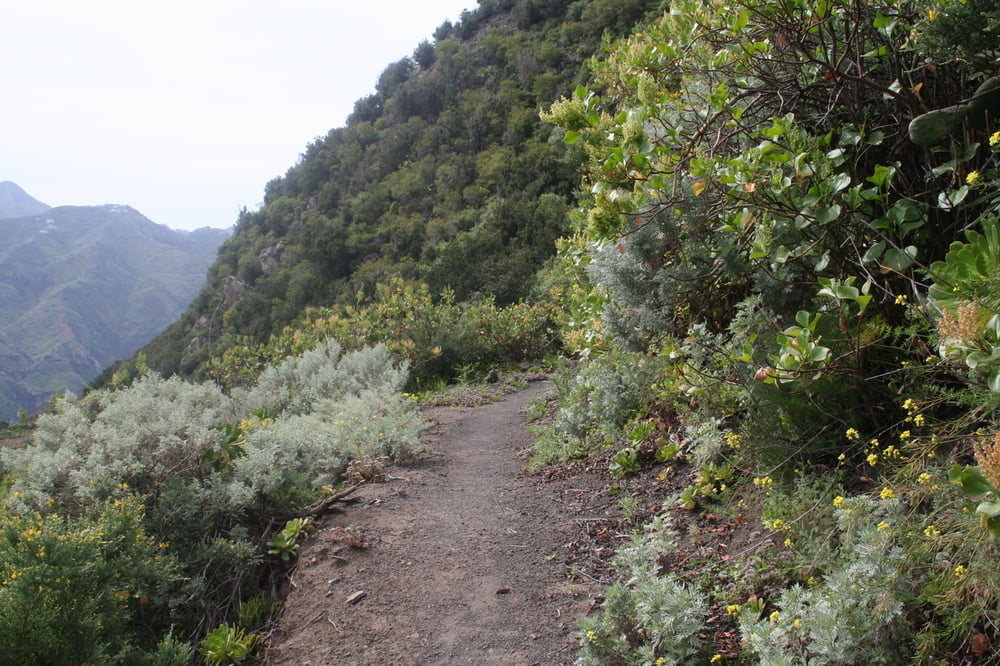
Wir starten in Afur am (einzigen) Parkplatz. Wandern zum schönen schwarzen Strand von Tamadite durch einen Barranco mit Wasser. Weiter geht es leicht ansteigend bis zum Ortseingang von Taganana. Danach zuerst langsam, dann steil ansteigend nach La Cumbrecilla auf einem schönen Naturweg bis zur Bushaltestelle. Abstieg nach Afur auf Asphalt.
Further information at
http://www.kanaren-virtuell.de/teneriffa_2/orte/afur.htmTour gallery
Tour map and elevation profile
Minimum height 7 m
Maximum height 600 m
More about the tour author
|
|
Seili |
Comments

Von La Laguna auf der TF 12 und 13 und dann weiter auf der TF 136 bis Afur.
GPS tracks
Trackpoints-
GPX / Garmin Map Source (gpx) download
-
TCX / Garmin Training Center® (tcx) download
-
CRS / Garmin Training Center® (crs) download
-
Google Earth (kml) download
-
G7ToWin (g7t) download
-
TTQV (trk) download
-
Overlay (ovl) download
-
Fugawi (txt) download
-
Kompass (DAV) Track (tk) download
-
Track data sheet (pdf) download
-
Original file of the author (gpx) download
More about the tour author
|
|
Seili |
Add to my favorites
Remove from my favorites
Edit tags
Open track
My score
Rate