

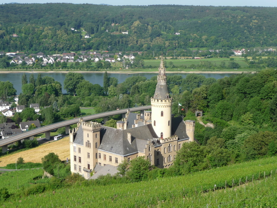
Es ging weiter von Bad Hönning nach Leutesdorf immer den Rheinsteig entlang.
Diese Etappe war recht schön, weil man durch die ganzen Weinberge läuft.
Tipp: Unbeding die süssen Kirschen unterwegs probieren. Wer im Spätsommer läuft kann auch andere Obstsorten probieren! Es ist alles da!
Ab Leutesdorf ging es dann zum Bahnhof um wieder zurück zum Startpunkt Unkel zu kommen wo wir geparkt hatten.
Tour gallery

Tour map and elevation profile
Minimum height 57 m
Maximum height 273 m
More about the tour author
|
|
buggi |
Comments

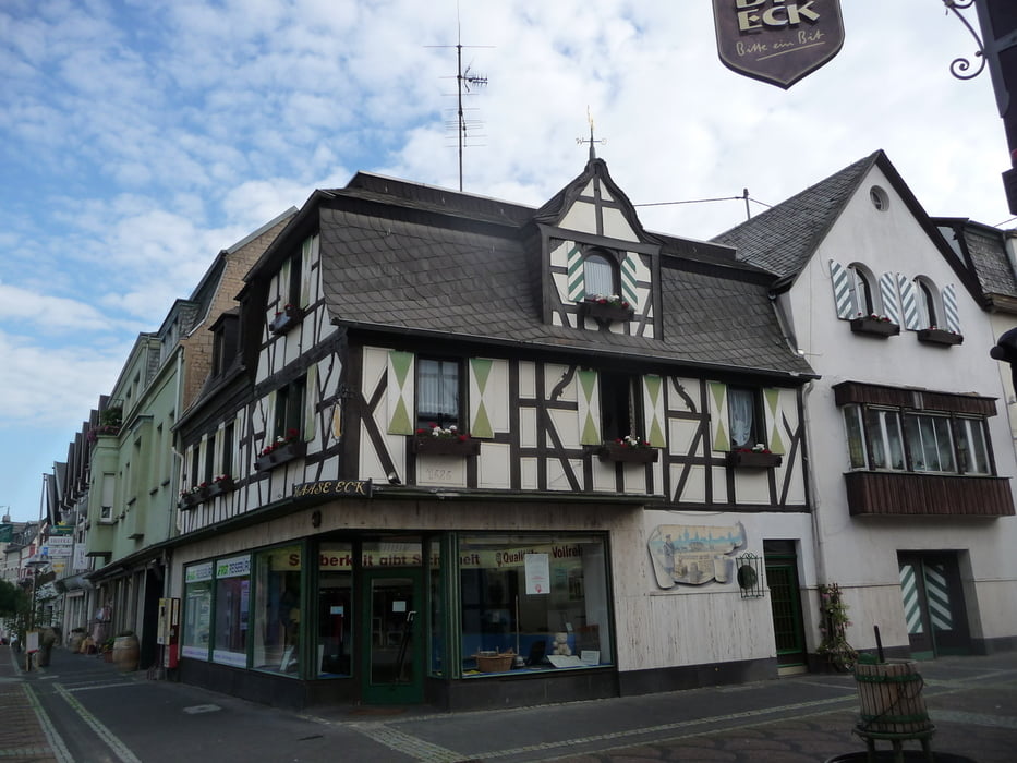
Es geht direkt am Zentrum in Bad Hönning los.
GPS tracks
Trackpoints-
GPX / Garmin Map Source (gpx) download
-
TCX / Garmin Training Center® (tcx) download
-
CRS / Garmin Training Center® (crs) download
-
Google Earth (kml) download
-
G7ToWin (g7t) download
-
TTQV (trk) download
-
Overlay (ovl) download
-
Fugawi (txt) download
-
Kompass (DAV) Track (tk) download
-
Track data sheet (pdf) download
-
Original file of the author (tcx) download
More about the tour author
|
|
buggi |
Add to my favorites
Remove from my favorites
Edit tags
Open track
My score
Rate