


Cirquit du Plateau du Gris
Diese einsame, wenig anstrengende Wanderung bietet mehrere Höhepunkte:
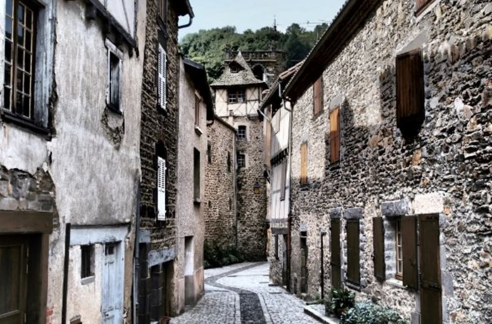
- Blesle (eines der "schönsten Dörfer Frankreichs" - oft Filmkulisse)
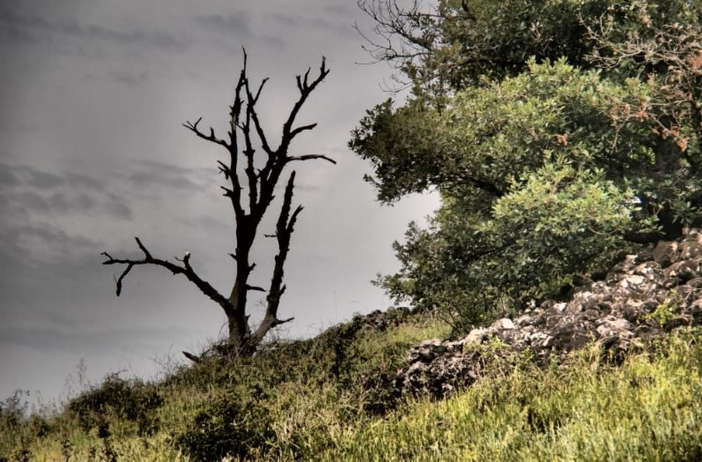
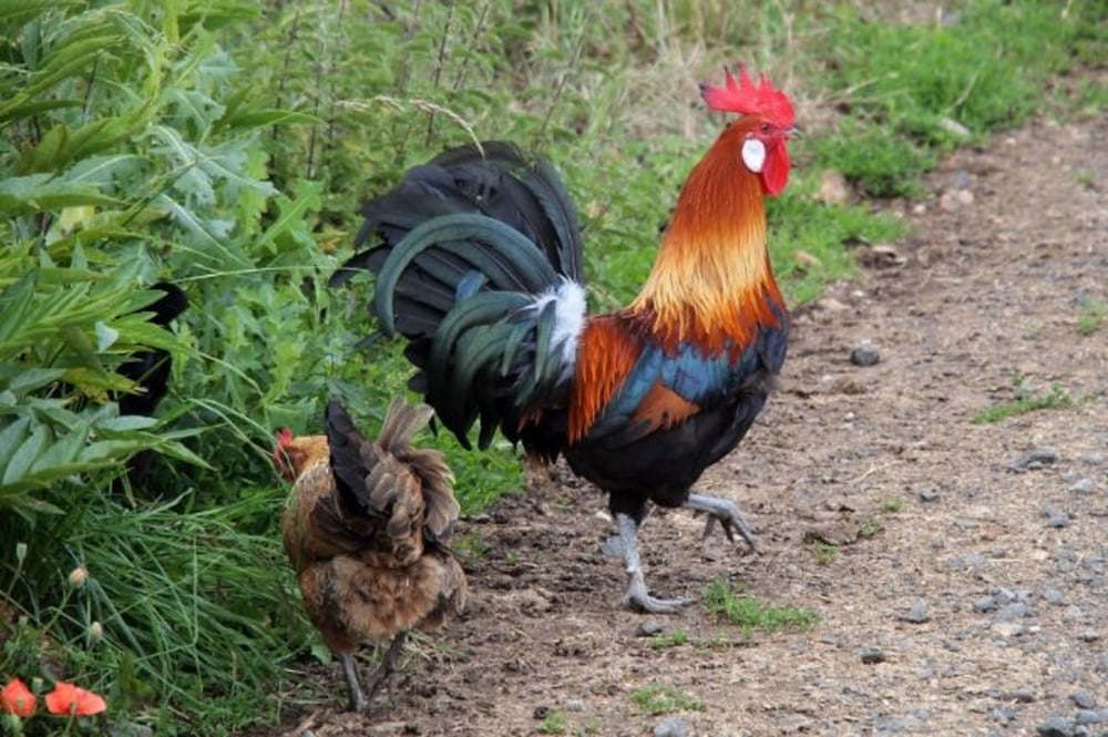
- Flora während der Wanderung extrem vielfältig (Juni)
- Site du Chadecol (5000 Jahre alte Siedlungsreste: ähnlich den Bories in der Provence)
Das Dorf Blesle ist wirklich sehenswert: Sehr viele mittelalterliche Gebäude sind erhalten, die Leute in den Kneipen sind sehr kommunikativ (Zumindest in der Vorsaison!)
Tour gallery
Tour map and elevation profile
Minimum height 535 m
Maximum height 721 m
More about the tour author

|
schoenbli |
Comments

Im Navi: "Blesle" hat einen "Parkplatz".
In der Oberstadt hats einen alten Dorfbrunnen. Daneben sind u. a. einige Wanderwegweiser zu finden. Hier geht die Tour los.
GPS tracks
Trackpoints-
GPX / Garmin Map Source (gpx) download
-
TCX / Garmin Training Center® (tcx) download
-
CRS / Garmin Training Center® (crs) download
-
Google Earth (kml) download
-
G7ToWin (g7t) download
-
TTQV (trk) download
-
Overlay (ovl) download
-
Fugawi (txt) download
-
Kompass (DAV) Track (tk) download
-
Track data sheet (pdf) download
-
Original file of the author (gpx) download
More about the tour author
|
|
schoenbli |
Add to my favorites
Remove from my favorites
Edit tags
Open track
My score
Rate