


In Gerolimenas gibt es ein Superhotel, man sagt, das beste auf dem Peloponnes: Kirymai. Von diesem Hotel aus, sieht mann einen ausgebauten Weg durch die Felswand aufwärts.
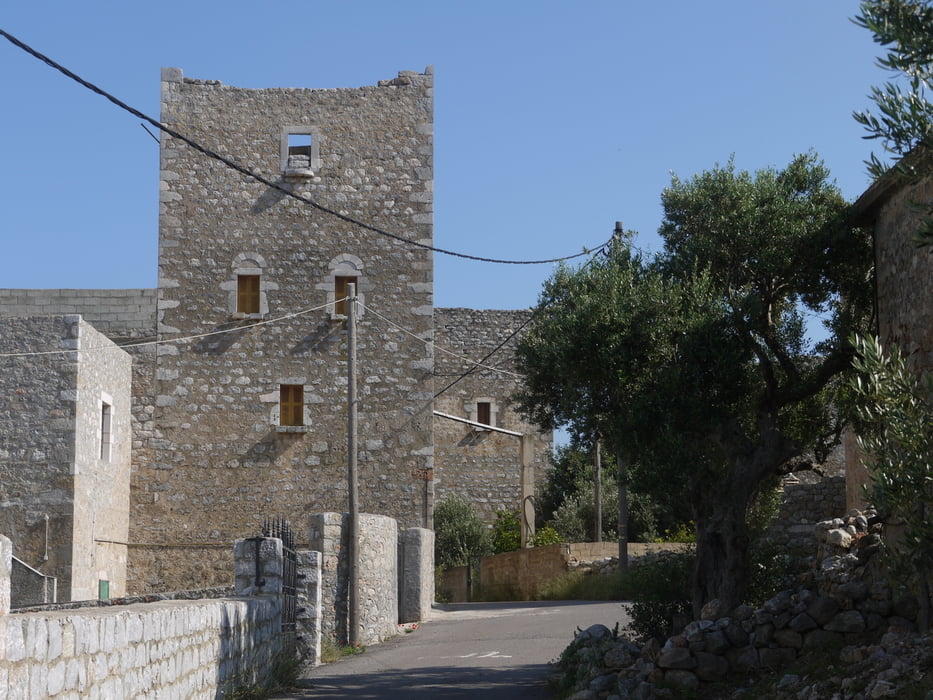
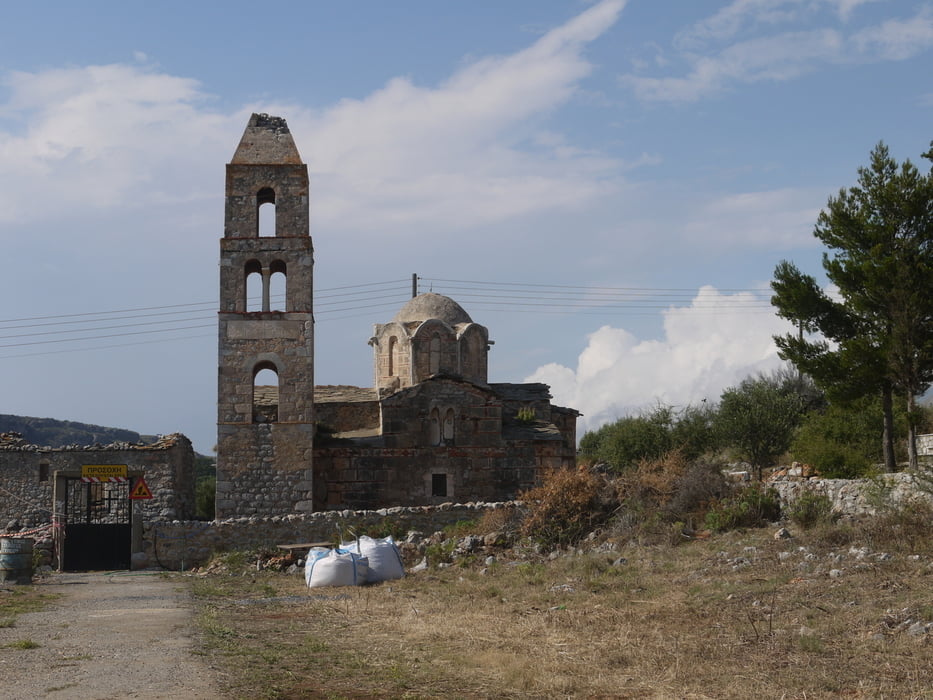
Die Wanderung zum Dorf Ochia, mit den typischen Wohntürmen, verläuft anfänglich auf dem asphaltierten Fahrsträsschen (kaum Verkehr). Nach dem Dorf Ochia, beim Friedhof, rechts abbiegen. Auf einer Fahrspur, später übers unbewirtschaftete Feld zur ruine der Kapelle und von dort auf dem gut gebauten Weg völlig gefahrlos durch die Felswand wieder zurück nach Gerolimenas.
Die Wege sind zwar (meist) ausgeschildert, sie werden aber kaum begangen und sind entsprechend gepflegt. Trotzdem der Blick und die Aussicht auf die Mani ist grossartig.
Kein Schatten vorhanden.
Tour gallery
Tour map and elevation profile
Minimum height -2 m
Maximum height 111 m
More about the tour author
|
|
gerosa |
Comments

GPS tracks
Trackpoints-
GPX / Garmin Map Source (gpx) download
-
TCX / Garmin Training Center® (tcx) download
-
CRS / Garmin Training Center® (crs) download
-
Google Earth (kml) download
-
G7ToWin (g7t) download
-
TTQV (trk) download
-
Overlay (ovl) download
-
Fugawi (txt) download
-
Kompass (DAV) Track (tk) download
-
Track data sheet (pdf) download
-
Original file of the author (gpx) download
More about the tour author
|
|
gerosa |
Add to my favorites
Remove from my favorites
Edit tags
Open track
My score
Rate