Login

Forgotten password?

Cookies have to be accepted!
Your browser's cookie functionality is disabled. Please enable this functionality.

Not a member yet?

Register now
Login

Available for registred users only

Log in to use this feature.

Forgotten password?

Cookies have to be accepted!
Your browser's cookie functionality is disabled. Please enable this functionality.

Not a member yet?

Register now
Filter
Categories
Advanced filters
  • Distance (km)
  • Height
Save filters Reset filter

TrackRank

QRCode

Technical data

Distance64,2 km Height202 m Way down205 m Duration03:00 h:m Date22.06.2011
Scores Author Landscape Fun factor Fitness Technique

Statistics

253 Views Scores 63 Downloads Average
Rate
  • Track data sheet
  • Directions
  • Downloads

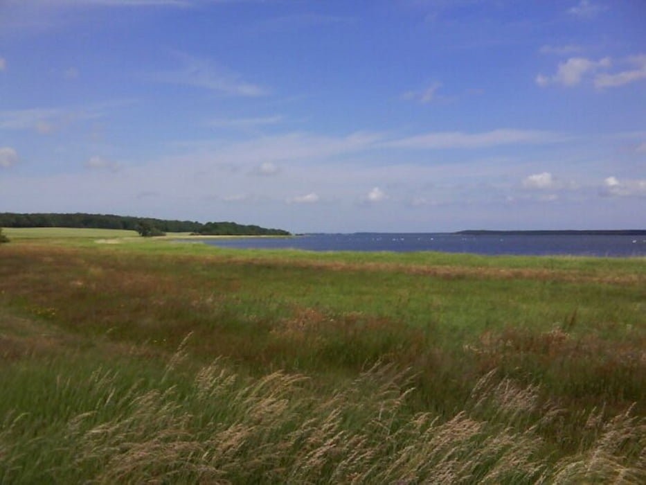
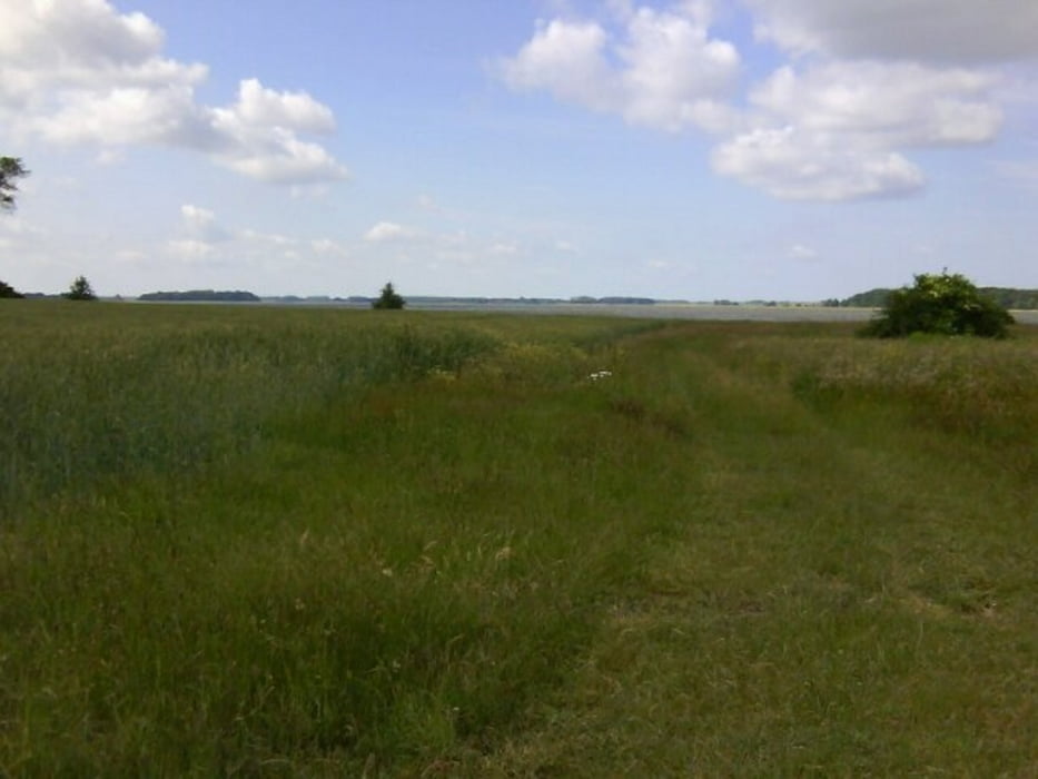
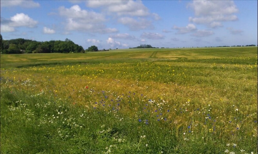
 Von Altenkirchen über Wiek zur Wittower Fähre. Weiter zum Tetzitzer See. Diesen umfahren wir, danach geht es zurück nach Altenkirchen.

Habe bei Rappin einen Abstecher nach Tetzitz gemacht....lohnt sich nicht....also nach Rappin gleich gerade aus....


Tour gallery

Tour map and elevation profile

  • Open Street Map
  • Google
Minimum height -15 m Maximum height 19 m Detailed view

More about the tour author

mareb1972
Member since 2009

Send private message

Comments

 Altenkirchen, Parken in der Ortsmitte

GPS tracks

Trackpoints
  • GPX / Garmin Map Source (gpx) download
  • TCX / Garmin Training Center® (tcx) download
  • CRS / Garmin Training Center® (crs) download
  • Google Earth (kml) download
  • G7ToWin (g7t) download
  • TTQV (trk) download
  • Overlay (ovl) download
  • Fugawi (txt) download
  • Kompass (DAV) Track (tk) download
  • Track data sheet (pdf) download
  • Original file of the author (gpx) download

More about the tour author

mareb1972
Member since 2009

Send private message
Share track
Add to my favorites
Remove from my favorites
Edit tags
My score
Rate
Track: Von Altenkirchen um den Tetzitzer See
Type: Trekkingbike
Distance: 64,2 km
Evaluated on:
Duration:
Day(s)
Hour(s)
Minute(s)
Score: Landscape Fun factor Fitness Technique