


Start von Niefern nach Pforzheim der Enz entlang nach Brötzingen. Weiter nach Birkenfeld auf den Kopf 461m.
Hinunter nach Gräfenhausen entlang des Arnbachs weiter über Niebelsbach, Grenzsägmühle nach Ellmendingen.
Hinauf in die Weinberge und dann hinunter entlang des Ranbachs. Dann bergauf durch den Wald Richtung Brötzignen zum Mahnmal Wallberg. Dort hat man eine tolle Aussicht. Zurück oberhalb durch Pforzheim, weiter nach Eutingen und wieder nach Niefern.
Further information at
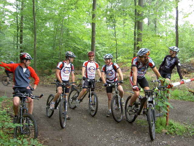
http://www.biketreff-niefern.deTour gallery
Tour map and elevation profile
Minimum height 200 m
Maximum height 543 m
More about the tour author

|
winklem |
Comments

Start in Niefern an der Enz Apotheke.
Mehr Infos unter http://www.biketreff-niefern.de
Mehr Infos unter http://www.biketreff-niefern.de
GPS tracks
Trackpoints-
GPX / Garmin Map Source (gpx) download
-
TCX / Garmin Training Center® (tcx) download
-
CRS / Garmin Training Center® (crs) download
-
Google Earth (kml) download
-
G7ToWin (g7t) download
-
TTQV (trk) download
-
Overlay (ovl) download
-
Fugawi (txt) download
-
Kompass (DAV) Track (tk) download
-
Track data sheet (pdf) download
-
Original file of the author (g7t) download
More about the tour author
|
|
winklem |
Add to my favorites
Remove from my favorites
Edit tags
Open track
My score
Rate