

Super Tour über Hennekopf und Trauchberg.
Start der Tour in Füssen (nähe Bootshafen). Von hier gehts über Schwangau bis zum Drehhüttenparkplatz. Hier zweigt der Weg nach links ab und der erste Anstieg bis zum Hennekopf beginnt. Abfahrt in´s Lobental und weiter bis zur Kenzenfahrstraße. Auf dieser bis zur letzten steilen Abfahrt folgen und dann nach links Richtung Reiselsbergbrücke abbiegen. Von dort zieht sich der nächste Anstieg über Sennalpe bis zum höchsten Punkt (ca. 1400 m) Weiter gehts bis zur Grüblehütte und dann beginnt der Downhill bis Trauchgau. Wer will kann hier noch den Trauchberg-Höhenweg bis Halblech fahren, oder aber wie hier beschrieben die flachere Variante über Halblech, Buching, Schwangau (Radweg) zurück nach Füssen.
Sehr schöne Tour allerdings keine bewirtschaftete Hütte unterwegs (Abstecher auf Kenzenhütte ca. 200 hm extra möglich.
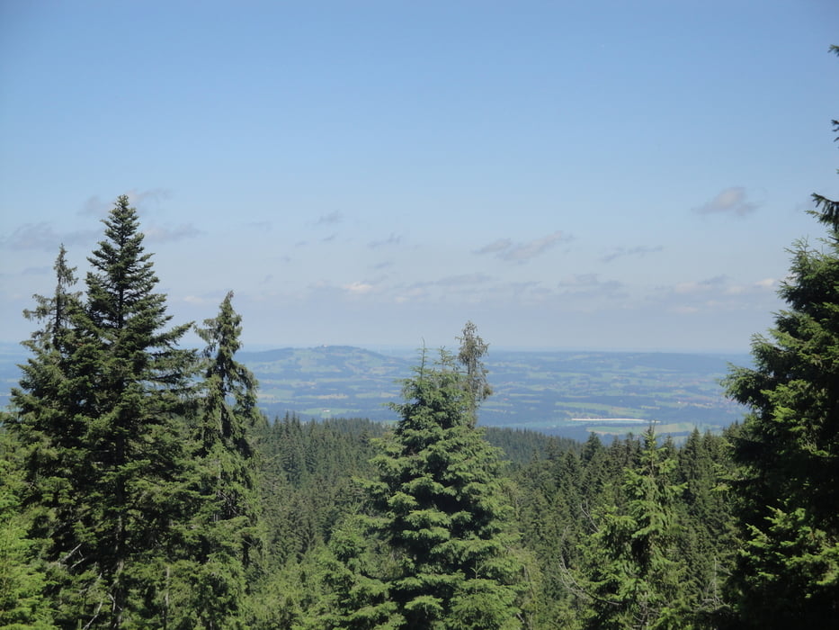
Tour gallery


Tour map and elevation profile
Minimum height 736 m
Maximum height 1381 m
More about the tour author
|
|
shoagh12 |
Comments

GPS tracks
Trackpoints-
GPX / Garmin Map Source (gpx) download
-
TCX / Garmin Training Center® (tcx) download
-
CRS / Garmin Training Center® (crs) download
-
Google Earth (kml) download
-
G7ToWin (g7t) download
-
TTQV (trk) download
-
Overlay (ovl) download
-
Fugawi (txt) download
-
Kompass (DAV) Track (tk) download
-
Track data sheet (pdf) download
-
Original file of the author (gpx) download
More about the tour author
|
|
shoagh12 |
Add to my favorites
Remove from my favorites
Edit tags
Open track
My score
Rate