


Der Weg hinauf zum Wasserfall ist nicht weiter schwierig. Die ersten 250hm ist es ein festgetretener Erdwg. Der Rest wird dann zwar vom Erdreich her weicher, aber auch etwas steiniger. Sollte es vorher geregnet haben, wird der Weg wohl recht rutschig und bazig sein.
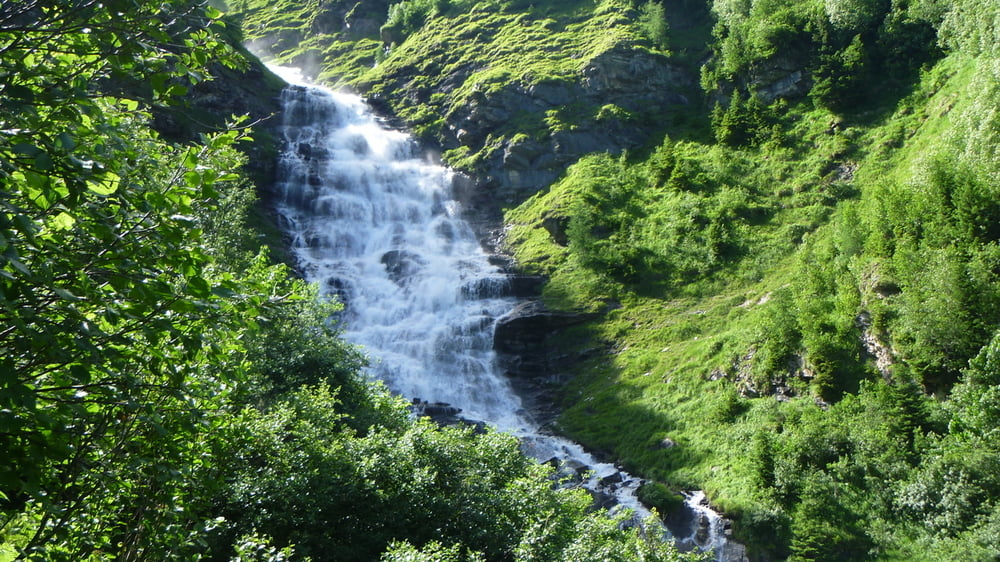
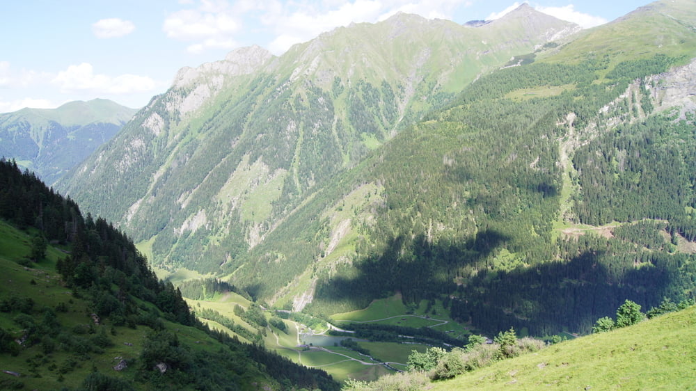
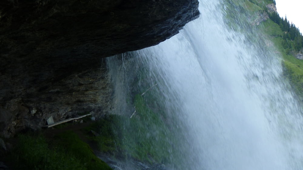
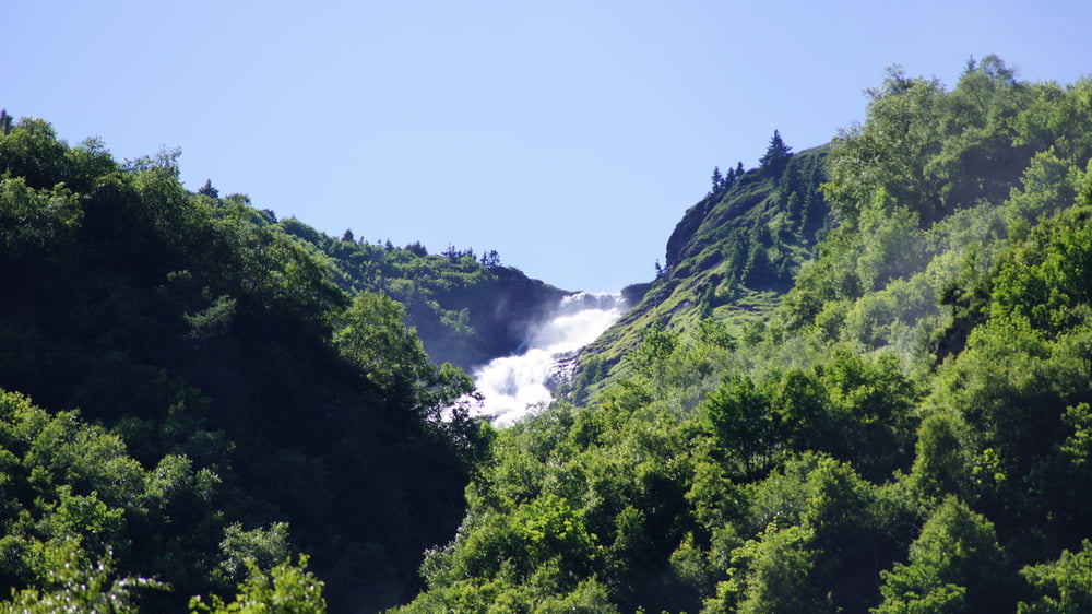
Die Aussicht entschädigt den Aufstieg auf alle Fälle! Den Wasserfall sollte man sich unbedingt auch von oben anschauen.
Die Zeitangabe beinhaltet den Auf- (1,5 Std.) und den Abstieg (1,0 Std.)
PS:
Der Link zu unserem "Weg von Dahoam 2011" Video auf Youtu.be zeigt noch ein paar Fotos mehr und auch einiges an Trailsequenzen. Würde mich freuen wenn, Du Dir evt. sogar das ganze Video ansiehst und es dann bewertest
Further information at
http://www.bikefun.atTour gallery

Tour map and elevation profile
Minimum height 1165 m
Maximum height 1746 m
More about the tour author
|
|
Pointer |
Comments

Anfahrt von Augsburg über die A8 und dann in Österreich auf die B311 in Richtung Zell am See. Startpunkt ist das Hotel Alpenhof in Bruck bei Zell am See. Autofahrt in Rtg. Fusch auf der Großglocknerstrasse bis Mautstelle Hochalpenstrasse, rechts zum Parkplatz.
GPS tracks
Trackpoints-
GPX / Garmin Map Source (gpx) download
-
TCX / Garmin Training Center® (tcx) download
-
CRS / Garmin Training Center® (crs) download
-
Google Earth (kml) download
-
G7ToWin (g7t) download
-
TTQV (trk) download
-
Overlay (ovl) download
-
Fugawi (txt) download
-
Kompass (DAV) Track (tk) download
-
Track data sheet (pdf) download
-
Original file of the author (gpx) download
More about the tour author
|
|
Pointer |
Add to my favorites
Remove from my favorites
Edit tags
Open track
My score
Rate