


Brenner-Sterzing – Stielfs – Niederried – Grasstein – Mittenwald – Franzenfeste – Aicha – Sonneck – Mühlbach – Nauders – Roner Hütte - Starkenfeldhütte – Oberprang – Ellen – Hörschwang; ca. 80 km und 1725 HM
Hörschang – auf Straße nach Montal – Zwischenwasser – St. Vigil – Richtung Rautal hoch zur Pederühütte – Faneshütte – Große Fanesalm – Col de Locia – Capana Alpina – Stern – Covara; ca. 60 km und 1620 HM
Covara – Grödner Joch – Sellajoch – sellajoch Haus – Rifugia Valentini – Friedrich August Hütte – Rifugio S. Pertini – Duronhütte – Campitello – Fassatal Richtung Pozza di Fassa – Soraga – Moena; ca 47 km und 1250 HM
Moena – Predazzo – Ziano di Fiemme – Cadino al Cervo – Malga Cadinel – Manghenpass – Telve – Borgo - Levico; ca 86 km und 1500 HM
Ruhetag mit Baden und lockere Rundfahrt um den Caldonazzosee und Levicosee; ca 26 km und 465 HM
Levico – Kaiserjägerweg – Spiazzo Alto – Bertoldi – Carbonare – Folgaria – Calliano – auf Radweg nach Roverto; ca 50 km und 1200 HM
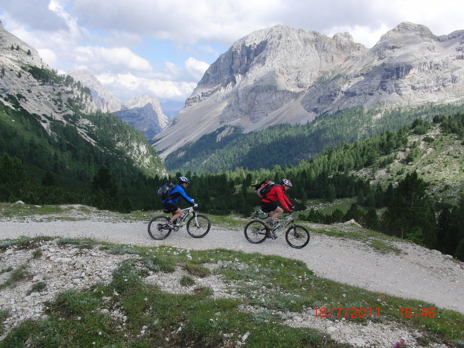
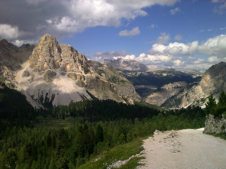
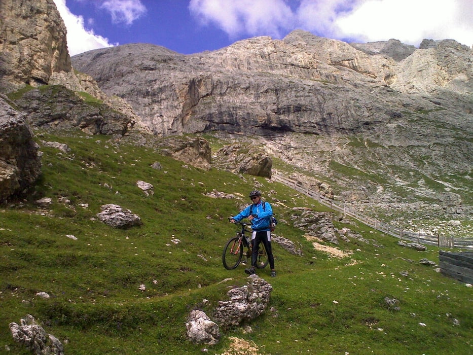
Tour gallery
Tour map and elevation profile
Minimum height 187 m
Maximum height 2373 m
More about the tour author
|
|
Kunz |
Comments

Start in Insbruck. Parken im Randbereich der Stadt. Mit dem Rad zum Hauptbahnhof und der Bahn zum Brenner.
Alternativ mit Auto zum Brenner.
GPS tracks
Trackpoints-
GPX / Garmin Map Source (gpx) download
-
TCX / Garmin Training Center® (tcx) download
-
CRS / Garmin Training Center® (crs) download
-
Google Earth (kml) download
-
G7ToWin (g7t) download
-
TTQV (trk) download
-
Overlay (ovl) download
-
Fugawi (txt) download
-
Kompass (DAV) Track (tk) download
-
Track data sheet (pdf) download
-
Original file of the author (gpx) download
More about the tour author
|
|
Kunz |
Add to my favorites
Remove from my favorites
Edit tags
Open track
My score
Rate