


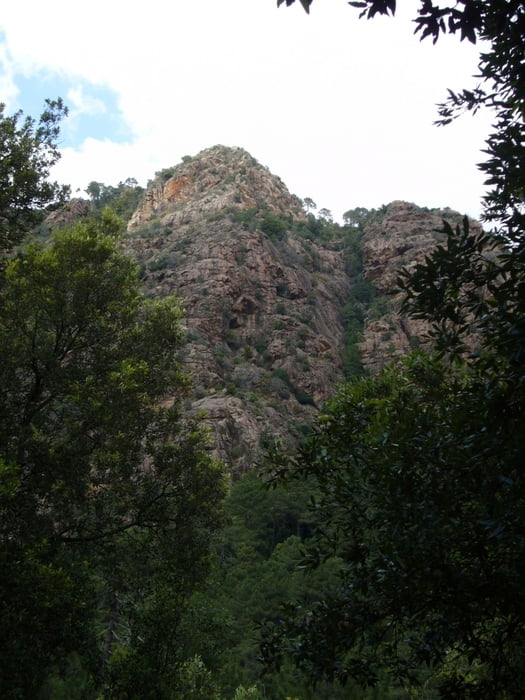
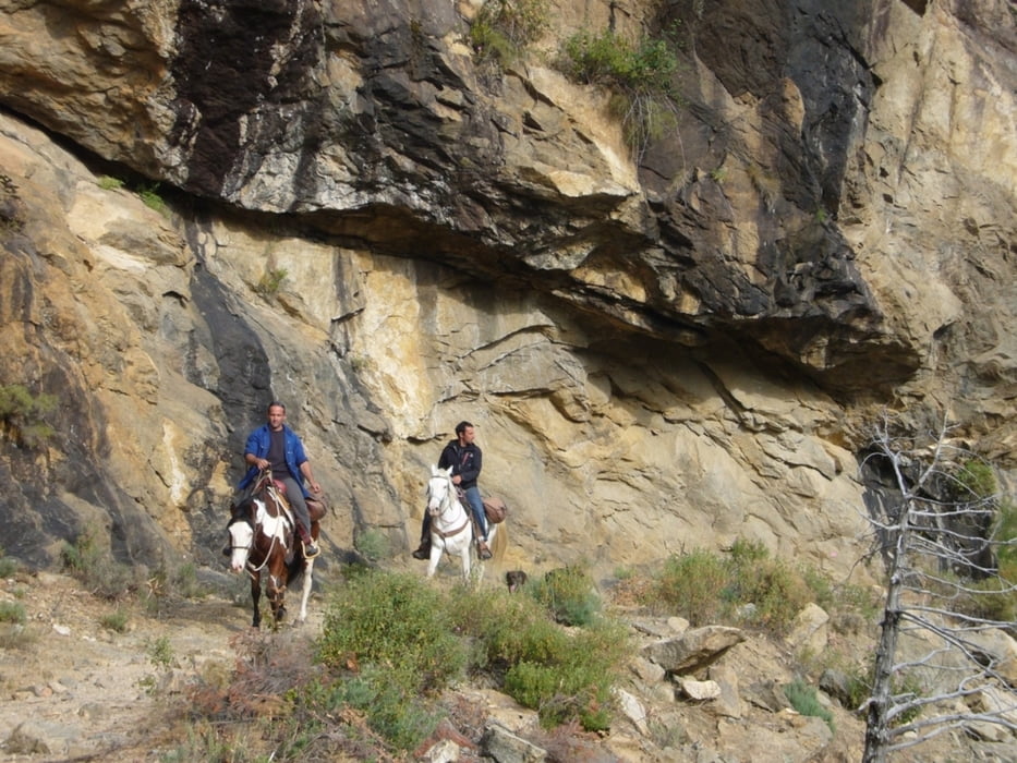
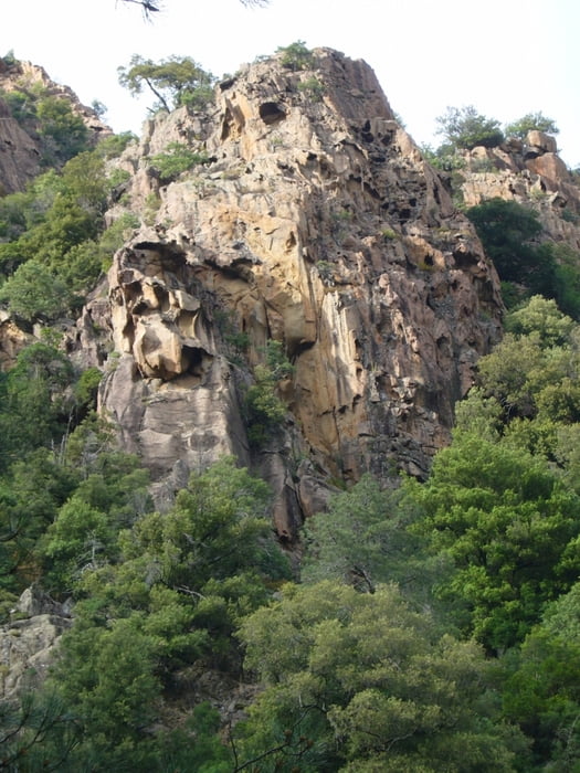
Wanderung im Wald von Bonifatu auf Pfaden und Forstwegen. Knöchelhohes Schuhwerk und Trittsicherheit erforderlich.
Am unteren Ende des Parkplatzes der Auberge de Bonifatu bergab in Richtung der Hängebrücke. Dann in Serpentinen bergauf zum höchsten Punkt der Rundwanderung (001). Zum Schluss auf einem Forstweg wieder zurück zur Auberge.
Further information at
http://fr.wikipedia.org/wiki/For%C3%AAt_de_BonifatuTour gallery
Tour map and elevation profile
Minimum height 498 m
Maximum height 762 m
More about the tour author

|
grenz-pfad-fahrer |
Comments

Am Flughafen Calvi vorbei der Ausschilderung zur Auberge de Bonifau folgen.
GPS tracks
Trackpoints-
GPX / Garmin Map Source (gpx) download
-
TCX / Garmin Training Center® (tcx) download
-
CRS / Garmin Training Center® (crs) download
-
Google Earth (kml) download
-
G7ToWin (g7t) download
-
TTQV (trk) download
-
Overlay (ovl) download
-
Fugawi (txt) download
-
Kompass (DAV) Track (tk) download
-
Track data sheet (pdf) download
-
Original file of the author (gpx) download
More about the tour author
|
|
grenz-pfad-fahrer |
Add to my favorites
Remove from my favorites
Edit tags
Open track
My score
Rate