
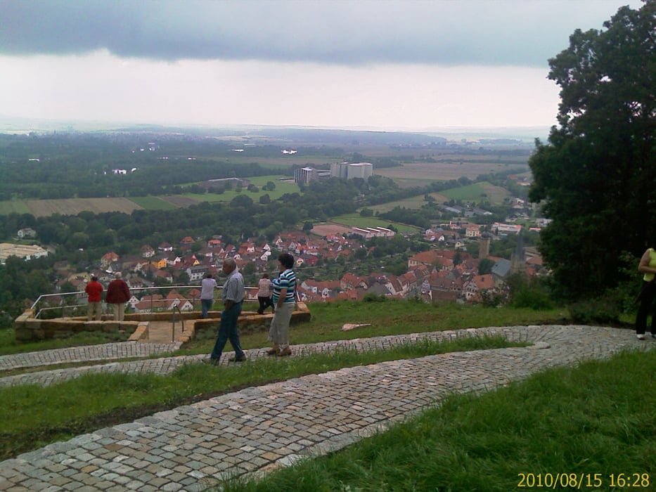

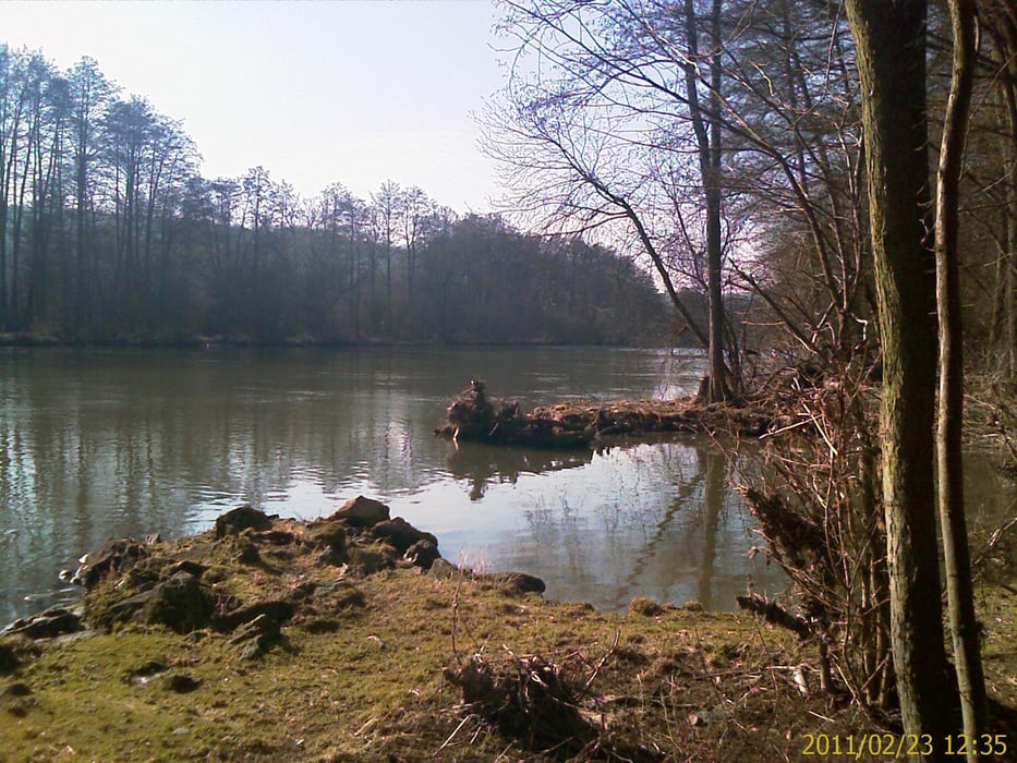
Rennrad Tour von Zeil aus linksseitig dem Main aufwärts, über Oberhaid und Hallstadt bis Bamberg. Nach der Stadtbesichtigung, rechtsseitig auf dem Maintal-Radweg, Gaustadt, Bischberg….. Walfahrtskirche Maria Limbach bis nach Sand am Main. Dann wieder über dem Main zurück nach Zeil.
Vorwiegend regionale und überregionale, flache Radwege mit Beschilderung. Oft direkt am Mainufer entlang. Zum Teil rege befahrene Landstraße von Zeil bis Staffelbach. Dieses Teilstück kann aber auch auf dem Radweg neben der Bahntrasse gefahren werden, statt auf der Bundesstraße, alternativ zur Streckenaufzeichnung!
Tour gallery
Tour map and elevation profile
Minimum height 225 m
Maximum height 273 m
More about the tour author
|
|
Astro |
Comments

Mit dem Auto (A70, Ausfahrt Knetzgau oder Eltmann, dann B26 bis nach 97475 Zeil am Main. Oder mit dem Zug, Zeil liegt ca. in der Mitte von Schweinfurt und Bamberg
GPS tracks
Trackpoints-
GPX / Garmin Map Source (gpx) download
-
TCX / Garmin Training Center® (tcx) download
-
CRS / Garmin Training Center® (crs) download
-
Google Earth (kml) download
-
G7ToWin (g7t) download
-
TTQV (trk) download
-
Overlay (ovl) download
-
Fugawi (txt) download
-
Kompass (DAV) Track (tk) download
-
Track data sheet (pdf) download
-
Original file of the author (gpx) download
More about the tour author
|
|
Astro |
Add to my favorites
Remove from my favorites
Edit tags
Open track
My score
Rate