

Der Startpunkt ist von meiner Wohnung aus gewählt, aber ein Startpunkt für jederman / jedefrau ist der Parkplatz vom Waldspielplatz in Königsrunn N48° 16.395 E010° 54.097.
Die Tour lehnt sich an die Tour #44661 nur eben ein wenig Traillastiger.
Viel Spaß!
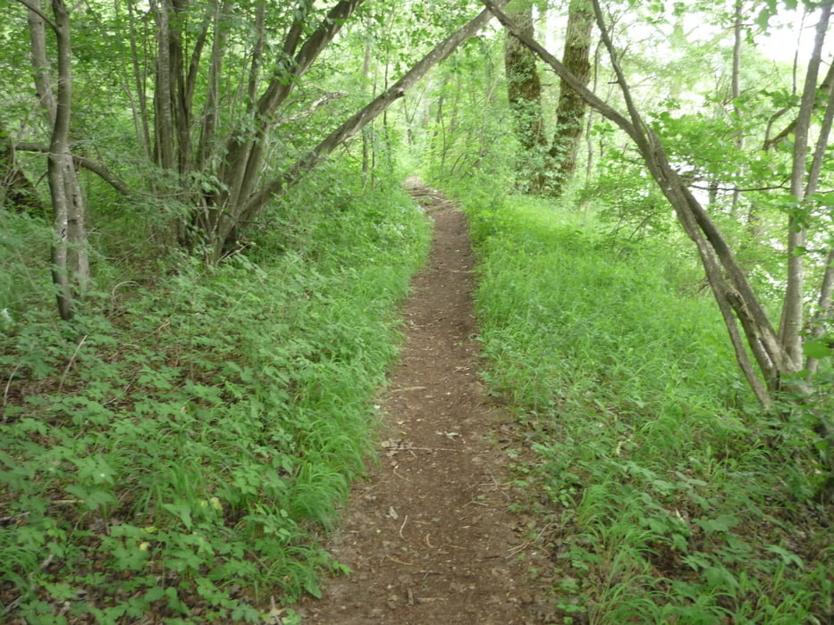
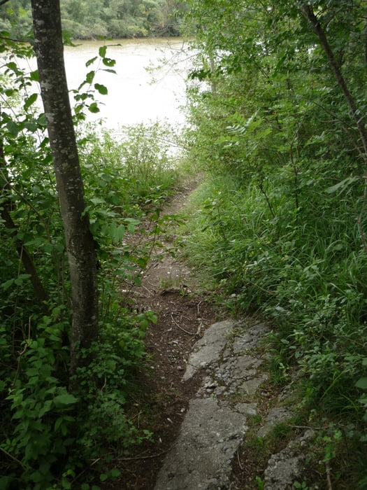
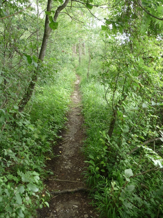
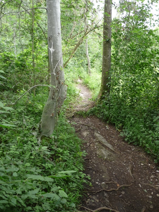
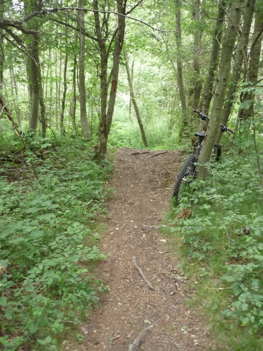
Tour gallery
Tour map and elevation profile
Minimum height 99999 m
Maximum height -99999 m
More about the tour author
|
|
20to26axs |
Comments

GPS tracks
Trackpoints-
GPX / Garmin Map Source (gpx) download
-
TCX / Garmin Training Center® (tcx) download
-
CRS / Garmin Training Center® (crs) download
-
Google Earth (kml) download
-
G7ToWin (g7t) download
-
TTQV (trk) download
-
Overlay (ovl) download
-
Fugawi (txt) download
-
Kompass (DAV) Track (tk) download
-
Track data sheet (pdf) download
-
Original file of the author (gpx) download
More about the tour author
|
|
20to26axs |
Add to my favorites
Remove from my favorites
Edit tags
Open track
My score
Rate