Login

Forgotten password?

Cookies have to be accepted!
Your browser's cookie functionality is disabled. Please enable this functionality.

Not a member yet?

Register now
Login

Available for registred users only

Log in to use this feature.

Forgotten password?

Cookies have to be accepted!
Your browser's cookie functionality is disabled. Please enable this functionality.

Not a member yet?

Register now
Filter
Categories
Advanced filters
  • Distance (km)
  • Height
Save filters Reset filter

TrackRank

QRCode

Technical data

Distance45,0 km Height325 m Way down314 m Duration03:48 h:m Date07.06.2007
Scores Author Landscape Fun factor Fitness Technique

Statistics

1419 Views 1 Score 136 Downloads 3.00 Average
Rate
  • Track data sheet
  • Directions
  • Downloads
Zu Beginn der Tour geht es ostwärts Richtung Motril. Sehr schnell gelangt man über kleine Nebenstraßen auf die alten Bewässerungskanäle. Diesen folgen wir bis zum Leuchtturm Cabo Sacratif. Vom Leuchtturm geht es dann an die Promenade von Torre Nueva und anschließend über Feldwege zurück zu Robinson Club Playa Granada.
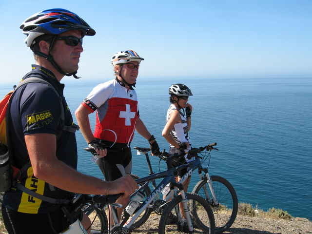
Tour gallery

Tour map and elevation profile

  • Open Street Map
  • Google
Minimum height 5 m Maximum height 820 m Detailed view

More about the tour author

michaelmueller2
Member since 2006

Send private message

Comments

x-dream-biker on 12.08.2008

Ich bin die Tour Ende April 2008 gefahren. Die Aussicht vom Leuchtturm am Capo Sacratif ist sehr schön. Auch die Strecke westlich von Motril durch die Anhöhen mit Aussicht auf Motril und das Meer. Die Strecke um Motril in und an den Bewässerungskanälen fand ich nicht so schön, da man nur die mit weißen Folien abgedeckten Anbauplantagen sieht. Wenn man in der Region Urlaub macht und weitere Touren mit Steigerungen in Höhenmeter u. KM plant, ist diese Tour ideal.

Mein Startpunkt lag weiter westlich auf dem Campingplatz Don Cactus in Carchuna. Eine separate Tourenbeschreibung folgt.

GPS tracks

Trackpoints
  • GPX / Garmin Map Source (gpx) download
  • TCX / Garmin Training Center® (tcx) download
  • CRS / Garmin Training Center® (crs) download
  • Google Earth (kml) download
  • G7ToWin (g7t) download
  • TTQV (trk) download
  • Overlay (ovl) download
  • Fugawi (txt) download
  • Kompass (DAV) Track (tk) download
  • Track data sheet (pdf) download
  • Original file of the author (gpx) download

More about the tour author

michaelmueller2
Member since 2006

Send private message
Share track
Add to my favorites
Remove from my favorites
Edit tags
My score
Rate
Track: Cabo Sacratif, Motril, Granada, Andalusien
Type: Mountain bike
Distance: 45,0 km
Evaluated on:
Duration:
Day(s)
Hour(s)
Minute(s)
Score: Landscape Fun factor Fitness Technique