Login

Forgotten password?

Cookies have to be accepted!
Your browser's cookie functionality is disabled. Please enable this functionality.

Not a member yet?

Register now
Login

Available for registred users only

Log in to use this feature.

Forgotten password?

Cookies have to be accepted!
Your browser's cookie functionality is disabled. Please enable this functionality.

Not a member yet?

Register now
Filter
Categories
Advanced filters
  • Distance (km)
  • Height
Save filters Reset filter

TrackRank

QRCode

Technical data

Distance7,6 km Height436 m Way down416 m Duration03:30 h:m Date04.07.2011
Scores Author Landscape Fun factor Fitness Technique

Statistics

372 Views Scores 49 Downloads Average
Rate
  • Track data sheet
  • Directions
  • Downloads

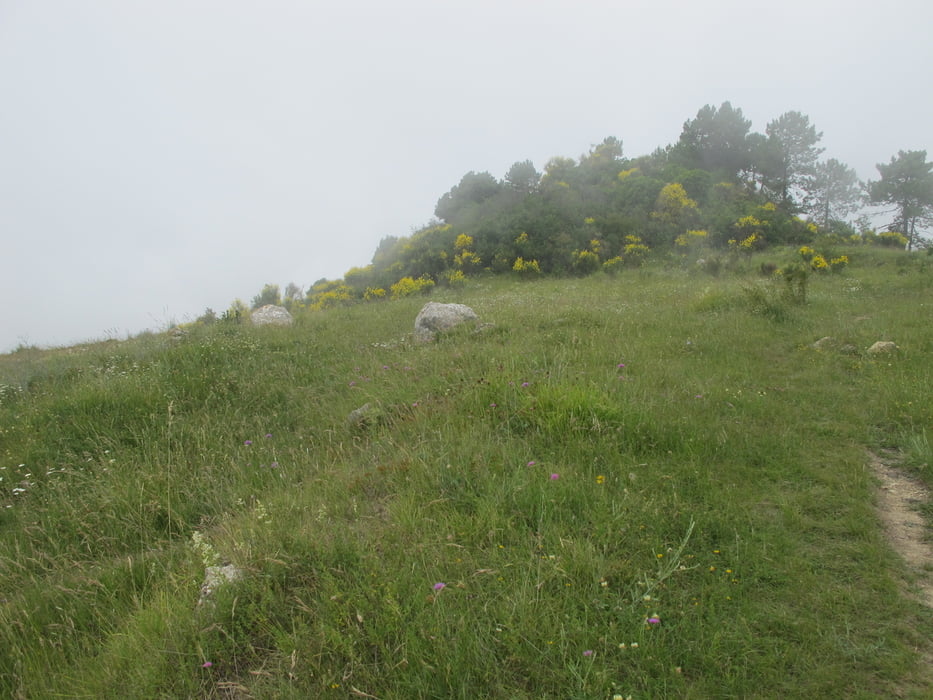
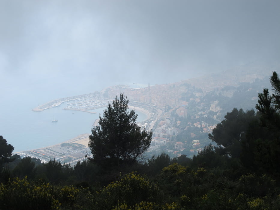
Einstieg am Friedhof in Castellar. Gemaessigter Anstieg teilweise ueber Fahrweg. Sehr schoene Wiesen auf Hochplateau mit Blick auf Menton. Abstieg teilweise geroellig - Trittsicherheit hilfreich. Letzter km ueber Fahrweg zurueck zum Dorf.


Tour gallery

Tour map and elevation profile

  • Open Street Map
  • Google
Minimum height 339 m Maximum height 742 m Detailed view

More about the tour author

ellell
Member since 2010

Send private message

Comments

GPS tracks

Trackpoints
  • GPX / Garmin Map Source (gpx) download
  • TCX / Garmin Training Center® (tcx) download
  • CRS / Garmin Training Center® (crs) download
  • Google Earth (kml) download
  • G7ToWin (g7t) download
  • TTQV (trk) download
  • Overlay (ovl) download
  • Fugawi (txt) download
  • Kompass (DAV) Track (tk) download
  • Track data sheet (pdf) download
  • Original file of the author (gpx) download

More about the tour author

ellell
Member since 2010

Send private message
Share track
Add to my favorites
Remove from my favorites
Edit tags
My score
Rate
Track: Seealpen - Castellar
Type: Hiking
Distance: 7,6 km
Evaluated on:
Duration:
Day(s)
Hour(s)
Minute(s)
Score: Landscape Fun factor Fitness Technique