


Tourendatum: 21.06.2011
Ausgangsort war der Campingplatz Park Albatros. Über Asphaltsträßchen und ein kurzes Sandstrassenstück erreicht man Venturina. Am Thermalbad vorbei auf die Strasse SR398 ein Stück Richtung Suvereto. Bald verlässt man die ziemlich verkehrsreiche Strasse und zweigt links auf eine Sandstrasse ab, folgt ein kurzes Stück einem Feldweg und dann wieder auf schönen Asphaltsträßchen und einer sanft ansteigenden Sandstrasse durch Wald über einen Sattel (100m) jenseits wieder 50 Hm abwärts und schließlich wieder auf Asphalt hinauf nach Suvereto (ca. 90m).
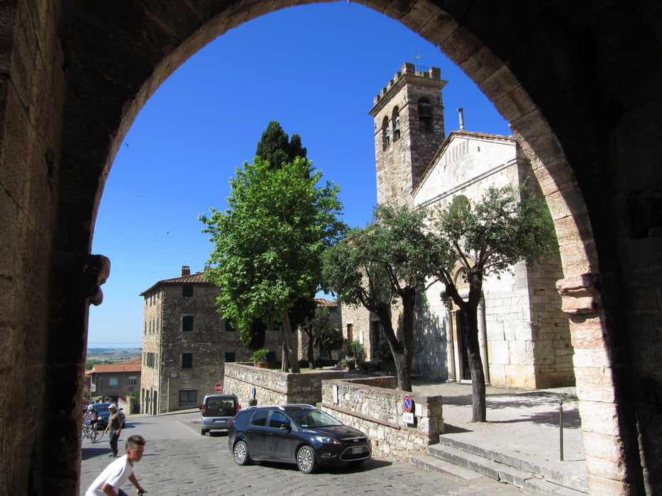
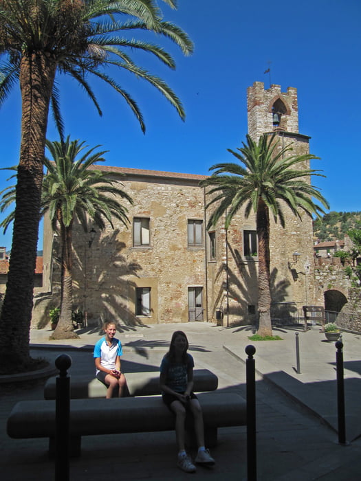
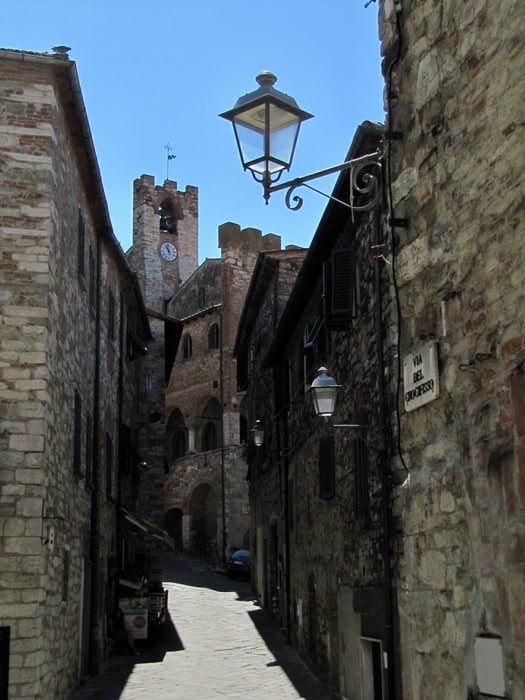
Nach einer Stärkung und Besichtigung des gut erhaltenen, sehenswerten mittelalterlichen Städtchens ging es auf der Anfahrtsroute wieder zurück. Die Tour ist einfach und auch als Familientour geeignet.
Tour gallery

Tour map and elevation profile
Minimum height 2 m
Maximum height 119 m
More about the tour author
|
|
Eimy |
Comments

Alternative Ausgangspunkte sind S.Vinvenzo und Venturina.
GPS tracks
Trackpoints-
GPX / Garmin Map Source (gpx) download
-
TCX / Garmin Training Center® (tcx) download
-
CRS / Garmin Training Center® (crs) download
-
Google Earth (kml) download
-
G7ToWin (g7t) download
-
TTQV (trk) download
-
Overlay (ovl) download
-
Fugawi (txt) download
-
Kompass (DAV) Track (tk) download
-
Track data sheet (pdf) download
-
Original file of the author (gpx) download
More about the tour author
|
|
Eimy |
Add to my favorites
Remove from my favorites
Edit tags
Open track
My score
Rate