


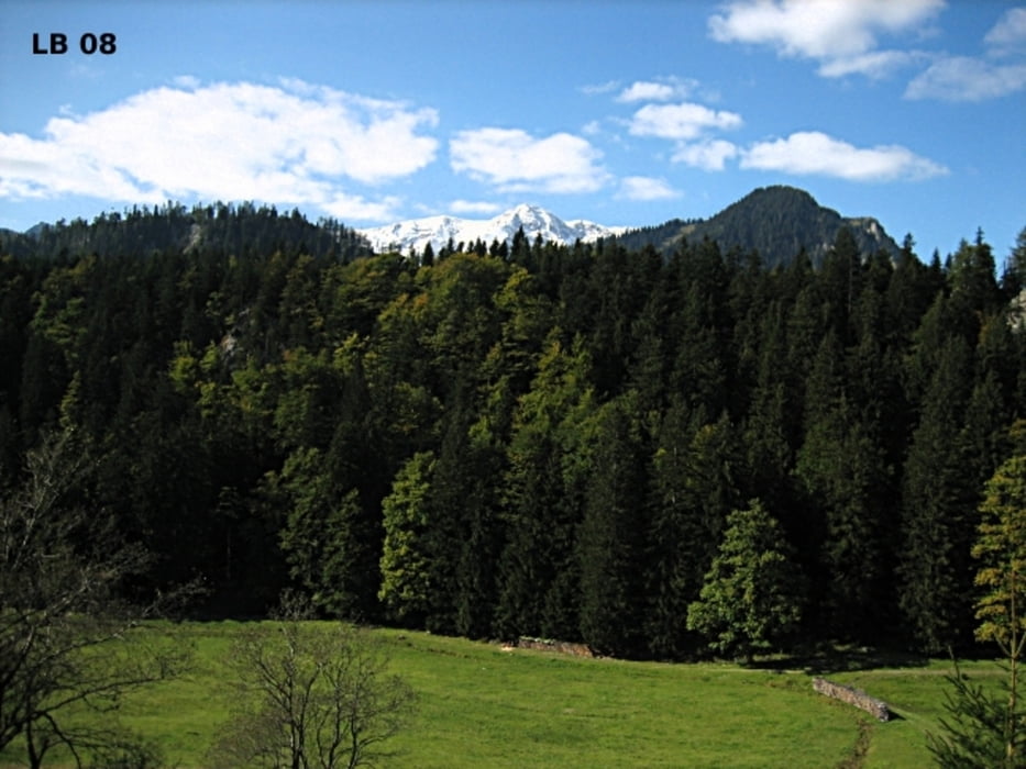
ie Fuchsalm liegt am Pyhrnpass in der Gemeinde Spital am Pyhrn zwischen den Bundesländern Steiermark und Oberösterreich. Von den beiden Ausgangspunkten sind es nur 1,4 – 1,5 Kilometer bis zur Fuchsalm. Und trotzdem hört und sieht man nichts mehr vom Verkehr, da ein kleiner Hügel dazwischenliegt. Auf der Alm mit einer Fläche von ca. 18ha können bis zu 15 Jungrinder den Sommer verbringen. Die Fuchsalm ist bewirtschaftet und so können die Wanderer auf der Fuchsalm einkehren und die hofeigenen Produkte genießen.
Tour gallery
Tour map and elevation profile
Minimum height 955 m
Maximum height 1063 m
More about the tour author
|
|
Trek1400d |
Comments

GPS tracks
Trackpoints-
GPX / Garmin Map Source (gpx) download
-
TCX / Garmin Training Center® (tcx) download
-
CRS / Garmin Training Center® (crs) download
-
Google Earth (kml) download
-
G7ToWin (g7t) download
-
TTQV (trk) download
-
Overlay (ovl) download
-
Fugawi (txt) download
-
Kompass (DAV) Track (tk) download
-
Track data sheet (pdf) download
-
Original file of the author (gpx) download
More about the tour author
|
|
Trek1400d |
Add to my favorites
Remove from my favorites
Edit tags
Open track
My score
Rate