


Tja, Leute. Das war´s. Tag 5 vom HWW 2011.
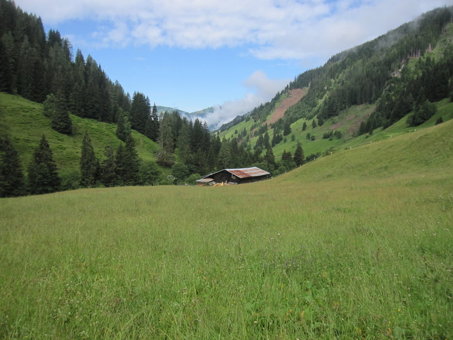
Frühstück auf der Ellmaualm und Abstieg zum Parkplatz nach Grund am Ende des Ellmautals. Ganz nett zu laufen. Abstieg muss ja auch mal irgenwann sein. Von dort mit dem Auto nach Großarl. Da wir noch viel Zeit hatten, sind wir in den Wellnessbereich vom Tauernhof (€13,0 mit Bademantel und Handtücher) gegangen. Sauna, Whirlpool und gutes Essen. War ein toller Abschluß und wir haben nicht so gestunken auf dem Heimflug.
Alles in allem hat das Zentralkomitee des HWW wieder ganze Arbeit geleistet und eine tolle 5-Tour auf die Beine gestellt. Gruß an alle, die nicht mitkommen konnten. War alles super.
Die Achse des Grauen (Berlin-Waghäusel-Leverkusen) hat wieder zugeschlagen.
Further information at
http://www.grossarltal.infoTour gallery

Tour map and elevation profile
Minimum height 892 m
Maximum height 1809 m
More about the tour author
|
|
Lippo |
Comments

GPS tracks
Trackpoints-
GPX / Garmin Map Source (gpx) download
-
TCX / Garmin Training Center® (tcx) download
-
CRS / Garmin Training Center® (crs) download
-
Google Earth (kml) download
-
G7ToWin (g7t) download
-
TTQV (trk) download
-
Overlay (ovl) download
-
Fugawi (txt) download
-
Kompass (DAV) Track (tk) download
-
Track data sheet (pdf) download
-
Original file of the author (gpx) download
More about the tour author
|
|
Lippo |
Add to my favorites
Remove from my favorites
Edit tags
Open track
My score
Rate