

start in wasseralfingen am friedhof,richtung hofen attenhofen,oberalfingen.
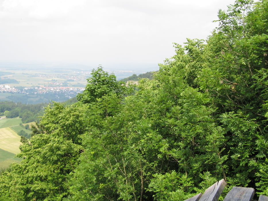
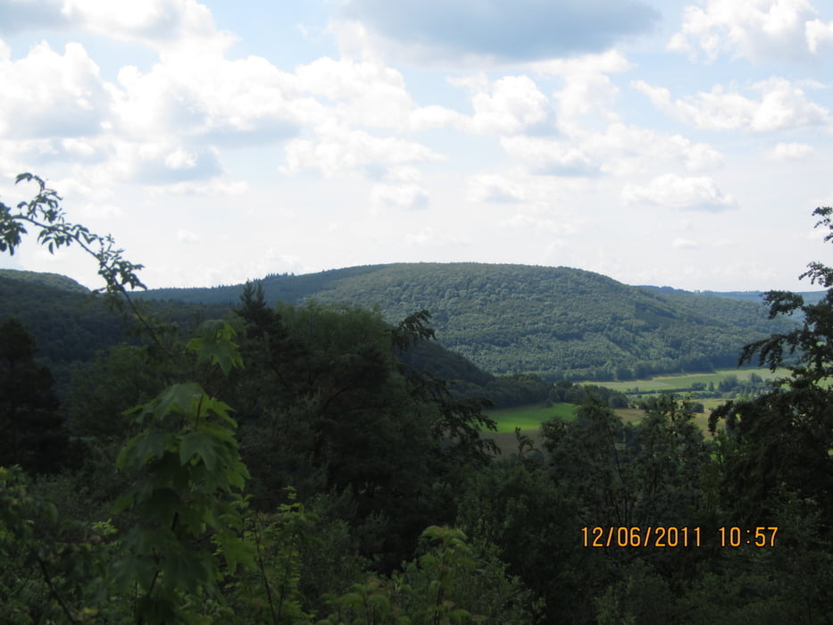
durchs tal richtung braunenberg,am ende angekommen gehts grad in den wald da wirds kurtz knackig.oben immer richtung wöllerstein.
nach dem gipfelbuch eintrag auf der anderen seite wieder runter,dann richtung braunenberg,
einkehr im naturfreundehaus .dann entweder die strasse nehmen richtung wasseralfingen oder die tour weiter nachfahren über den gardasee gedächtnisweg und den panoramaweg.zurück zum ausgangspunkt
Tour gallery

Tour map and elevation profile
Minimum height 430 m
Maximum height 745 m
More about the tour author

|
opalmantra |
Comments

GPS tracks
Trackpoints-
GPX / Garmin Map Source (gpx) download
-
TCX / Garmin Training Center® (tcx) download
-
CRS / Garmin Training Center® (crs) download
-
Google Earth (kml) download
-
G7ToWin (g7t) download
-
TTQV (trk) download
-
Overlay (ovl) download
-
Fugawi (txt) download
-
Kompass (DAV) Track (tk) download
-
Track data sheet (pdf) download
-
Original file of the author (gpx) download
More about the tour author
|
|
opalmantra |
Add to my favorites
Remove from my favorites
Edit tags
Open track
My score
Rate