Login

Forgot your login?

Cookies have to be accepted!
Your browser's cookie functionality is disabled. Please enable this functionality.

Not a member yet?

Register now
Login

Available for registred users only

Log in to use this feature.

Forgot your login?

Cookies have to be accepted!
Your browser's cookie functionality is disabled. Please enable this functionality.

Not a member yet?

Register now
Filter
Categories
Advanced filters
  • Distance (km)
  • Height
Save filters Reset filter

TrackRank

QRCode

Technical data

Distance29,1 km Height1859 m Way down1076 m Duration06:00 h:m Date20.07.2011
Scores Author Landscape Fun factor Fitness Technique

Statistics

418 Views Scores 19 Downloads Average
Rate
  • Track data sheet
  • Directions
  • Downloads

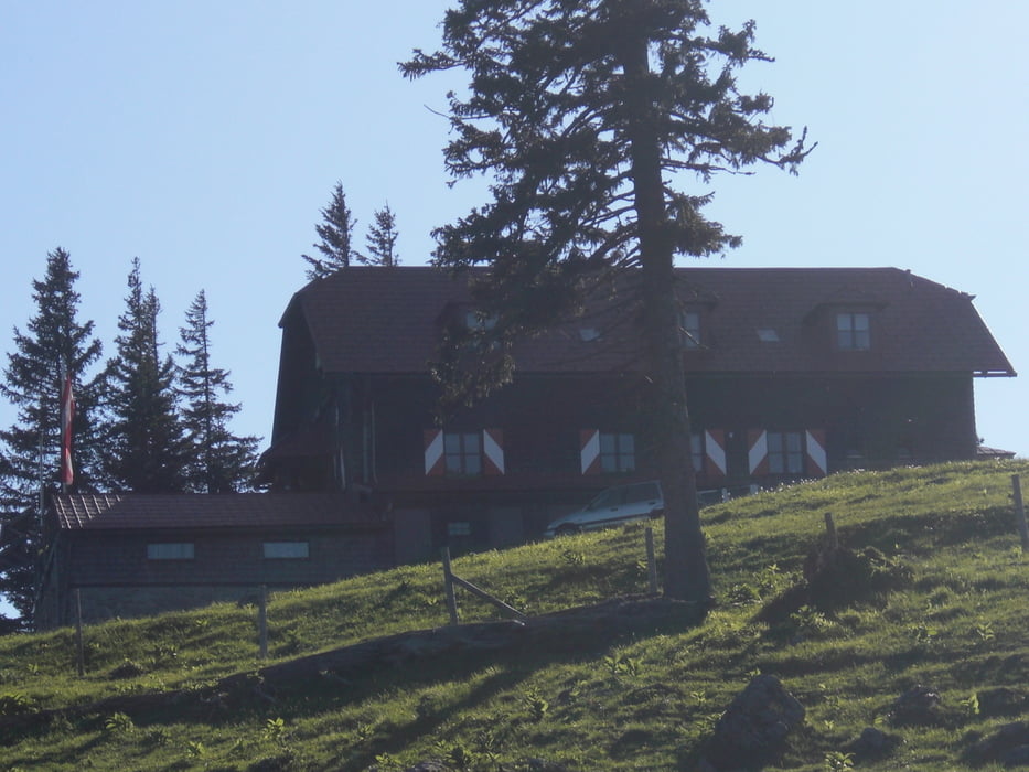
 7. Tag: Dörfl in der Eben _ Annaberghütte

Als Wegbeschreibung diente uns das Buch "Pilgerwege nach Mariazell" von Erika und Fritz Käfer erschienen im Verlag Styria Band Ost und West.
 

Tour gallery

Tour map and elevation profile

  • Open Street Map
  • Google
Minimum height 450 m Maximum height 1377 m Detailed view

More about the tour author

h300nutz
Member since 2010

Send private message

Comments

Fortsetzung von Tag 6

GPS tracks

Trackpoints
  • GPX / Garmin Map Source (gpx) download
  • TCX / Garmin Training Center® (tcx) download
  • CRS / Garmin Training Center® (crs) download
  • Google Earth (kml) download
  • G7ToWin (g7t) download
  • TTQV (trk) download
  • Overlay (ovl) download
  • Fugawi (txt) download
  • Kompass (DAV) Track (tk) download
  • Track data sheet (pdf) download
  • Original file of the author (gpx) download

More about the tour author

h300nutz
Member since 2010

Send private message
Share track
Add to my favorites
Remove from my favorites
Edit tags
My score
Rate
Track: Niederösterreichischer Mariazellerweg Tag 7
Type: Hiking
Distance: 29,1 km
Evaluated on:
Duration:
Day(s)
Hour(s)
Minute(s)
Score: Landscape Fun factor Fitness Technique