Login

Forgotten password?

Cookies have to be accepted!
Your browser's cookie functionality is disabled. Please enable this functionality.

Not a member yet?

Register now
Login

Available for registred users only

Log in to use this feature.

Forgotten password?

Cookies have to be accepted!
Your browser's cookie functionality is disabled. Please enable this functionality.

Not a member yet?

Register now
Filter
Categories
Advanced filters
  • Distance (km)
  • Height
Save filters Reset filter

TrackRank

QRCode

Technical data

Distance7,0 km Height287 m Way down260 m Duration01:30 h:m Date26.07.2011
Scores Author User Landscape Fun factor Fitness Technique

Statistics

204 Views Scores 6 Downloads Average
Rate
  • Track data sheet
  • Directions
  • Downloads
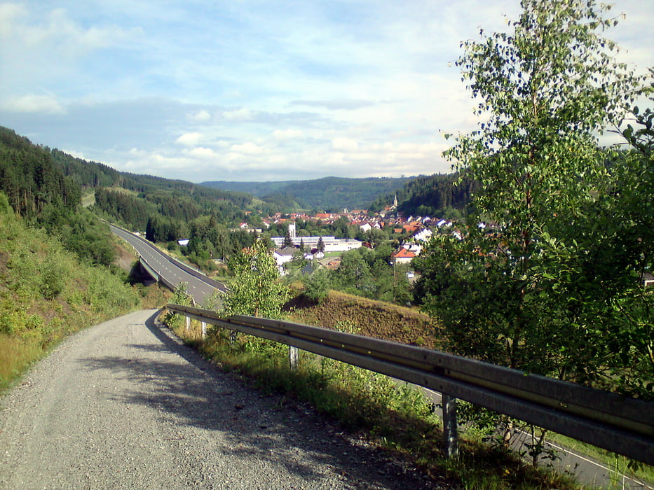
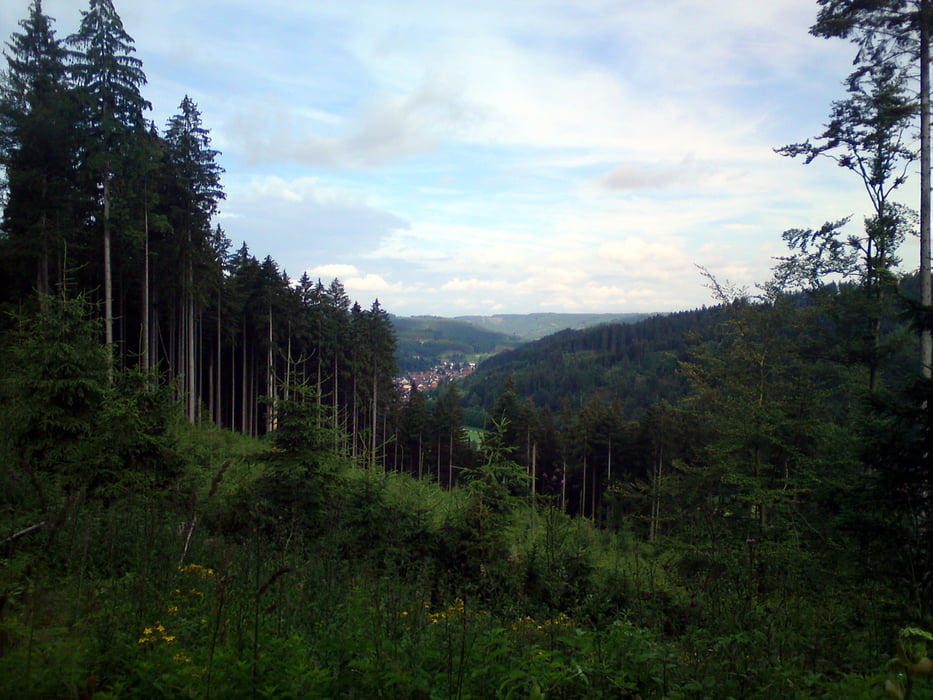
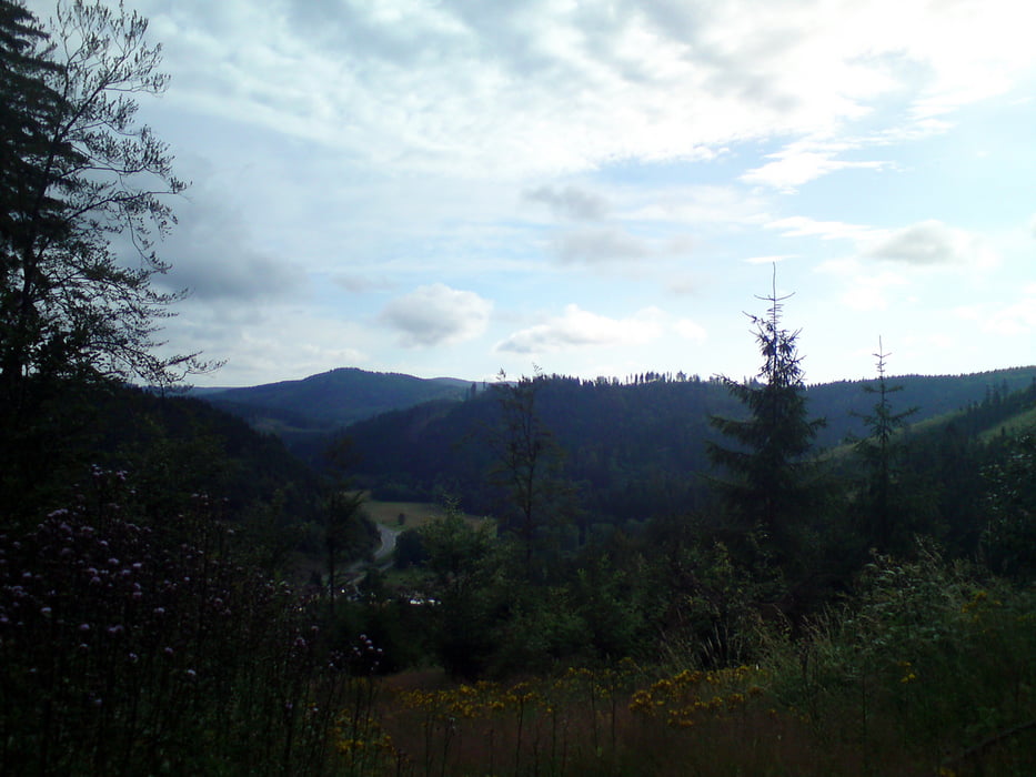
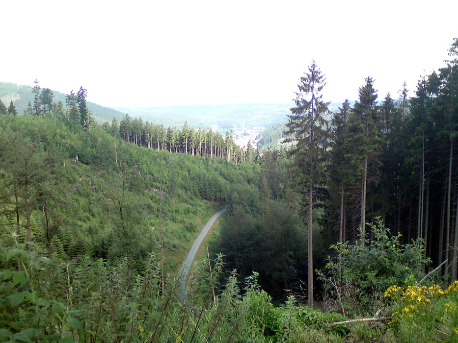
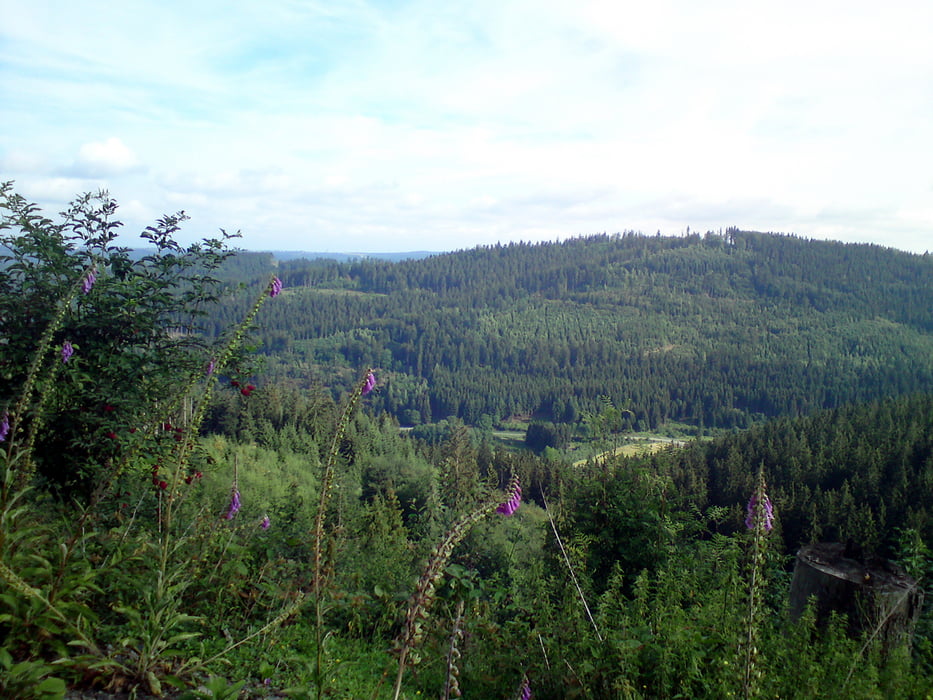
Start Flößerhaus Wallenfels - auf gut befestigten Waldwegen - rechts der Wilden Rodach - rund um den Thor und zurück zum Ausgangspunkt. Herrliche Ein- und Ausblicke ins obere Rodachtal!

Tour gallery

Tour map and elevation profile

  • Open Street Map
  • Google
Minimum height 348 m Maximum height 557 m Detailed view

More about the tour author

where_i_am
Member since 2011

Send private message

Comments

GPS tracks

Trackpoints
  • GPX / Garmin Map Source (gpx) download
  • TCX / Garmin Training Center® (tcx) download
  • CRS / Garmin Training Center® (crs) download
  • Google Earth (kml) download
  • G7ToWin (g7t) download
  • TTQV (trk) download
  • Overlay (ovl) download
  • Fugawi (txt) download
  • Kompass (DAV) Track (tk) download
  • Track data sheet (pdf) download
  • Original file of the author (gpx) download

More about the tour author

where_i_am
Member since 2011

Send private message
Share track
Add to my favorites
Remove from my favorites
Edit tags
My score
Rate
Track: Rund um den Thor
Type: Nordic Walking
Distance: 7,0 km
Evaluated on:
Duration:
Day(s)
Hour(s)
Minute(s)
Score: Landscape Fun factor Fitness Technique