


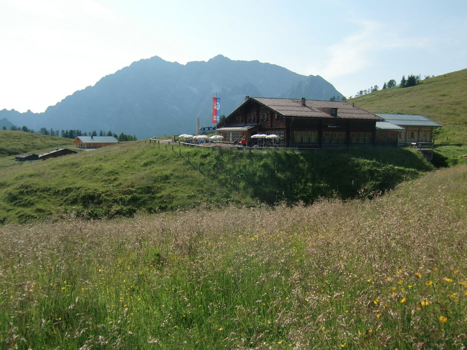
Tag1: Vom Parkplatz am Königssee über die Königsbachalm, die Brantweinbrennhütte und den Unteren Hirschenlauf zur Gotzenalm.
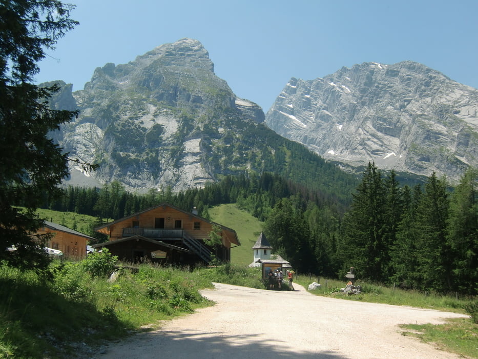
Tag2: Von der Gotzenalm zur Anlegestelle Kessel am Königssee, Überfahrt zurück nach Schönau, an der Bobbahn und dem Grünstein vorbei zur Kührointalm. Weiter über den Falzsteig zum Watzmannhaus.
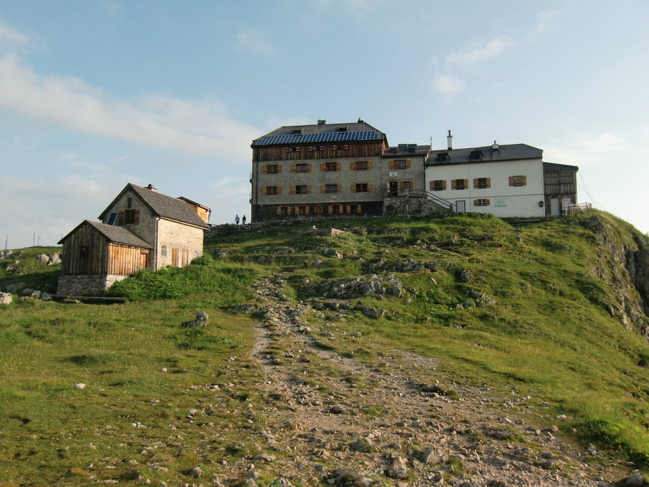
Tag3: Aufstieg zum Hocheck. Danach Abstieg am Watzmannhaus vorbei über Kührointalm zurück nach Schönau zum Parkplatz.
Tip: Ich würde diese Tour das nächste Mal umgekehrt laufen. Wir hatten am letzten Tag 2000Hm bergab, Stress für die Knie und die Oberschenkel :-O
Am besten am ersten Tag bis zum Hocheck und dann im Watzmannhaus übernachten. Dann zur Gotzenalm und am letzten Tag zurück zum Parkplatz.
Egal wie, die Tour ist super und absolut empfehlenswert.
Tour gallery

Tour map and elevation profile
Minimum height 606 m
Maximum height 2648 m
More about the tour author

|
bruno68 |
Comments

Start der Tour ist der Parkplatz am Königssee.
Von Berchtesgaden führt die B20 zum Königssee, die Straße endet direkt am Parkplatz.
GPS tracks
Trackpoints-
GPX / Garmin Map Source (gpx) download
-
TCX / Garmin Training Center® (tcx) download
-
CRS / Garmin Training Center® (crs) download
-
Google Earth (kml) download
-
G7ToWin (g7t) download
-
TTQV (trk) download
-
Overlay (ovl) download
-
Fugawi (txt) download
-
Kompass (DAV) Track (tk) download
-
Track data sheet (pdf) download
-
Original file of the author (gpx) download
More about the tour author
|
|
bruno68 |
Add to my favorites
Remove from my favorites
Edit tags
Open track
My score
Rate