Login

Forgot your login?

Cookies have to be accepted!
Your browser's cookie functionality is disabled. Please enable this functionality.

Not a member yet?

Register now
Login

Available for registred users only

Log in to use this feature.

Forgot your login?

Cookies have to be accepted!
Your browser's cookie functionality is disabled. Please enable this functionality.

Not a member yet?

Register now
Filter
Categories
Advanced filters
  • Distance (km)
  • Height
Save filters Reset filter

TrackRank

QRCode

Technical data

Distance43,1 km Height745 m Way down1583 m Duration00:00 h:m Date31.07.2011
Scores Author Landscape Fun factor Fitness Technique

Statistics

2020 Views 1 Score 301 Downloads 5.00 Average
Rate
  • Track data sheet
  • Directions
  • Downloads
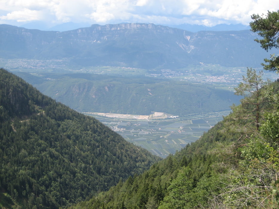
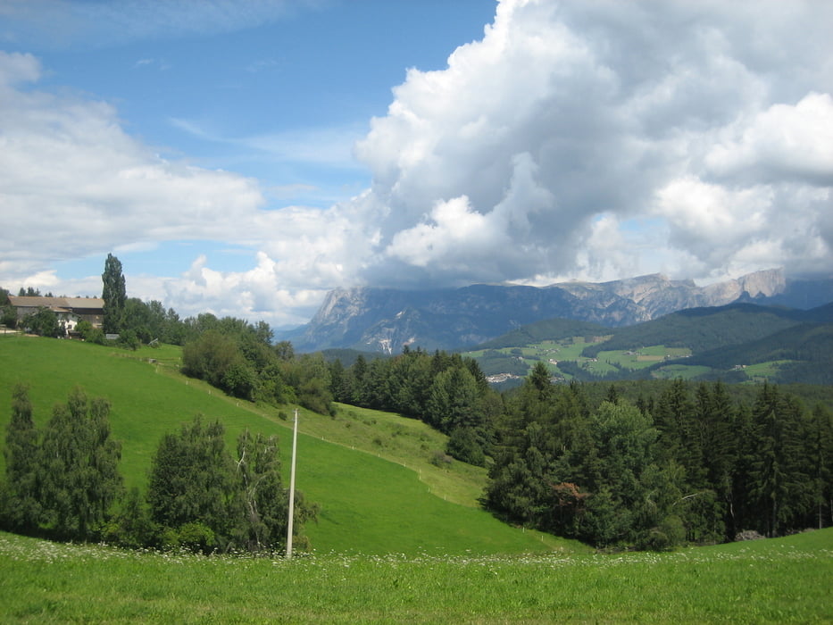
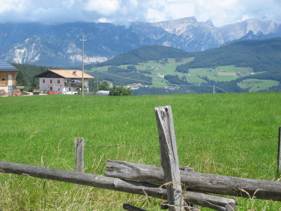
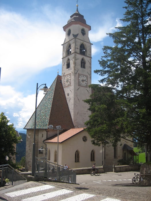
Start in Leifers, schnellster Weg nach Bozen über St. Jakob auf Radweg. Nähe Bahnhof befindet sich die Talstation der Kohlern-Bergbahn. Auffahrt mit der Bahn (6 € mit Rad). Wer mehr Höhenmeter braucht, kann natürlich auch auf der Strasse hochfahren. Von der Bergstation gehts in den Wald und hoch zum Gasthof "Schneiderwiesen". Weiter zum Sattel und leicht fallend nach Deutschnofen. Schöne Ausblicke auf die Dolomiten und ins Etschtal. Von Deutschnofen durch das Brantental nach Leifers.

Further information at

http://helwa.de

Tour gallery

Tour map and elevation profile

  • Open Street Map
  • Google
Minimum height 215 m Maximum height 1559 m Detailed view

More about the tour author

helwa
Member since 2009

Send private message

Comments

Grete on 11.10.2011

Tour

Hallo Walter, wir sind heute die Tour gefahren und fanden sie sehr, sehr schön! Vielen Dank für's reinstellen. LG, Grete
bikejockel on 12.06.2013

Tour

Super Tour! so viel Panorame hatte ich schon lange nicht mehr!! Danke fürs hochladen und weiter so!

Gruß
Bockrider on 04.10.2014

Kohlern

Wir haben die Tour am 2.Okt.2014 gemacht, sehr schön und eine rasante Abfahrt durchs Brandental nach Leifers. Die Bahnfahrt (Person mit Bike = 7€) Stand 10/2014.
in Bozen Nähe Bahnhof kostenfreier Parkplatz an der Talstation der Kohlernbahn.

GPS tracks

Trackpoints
  • GPX / Garmin Map Source (gpx) download
  • TCX / Garmin Training Center® (tcx) download
  • CRS / Garmin Training Center® (crs) download
  • Google Earth (kml) download
  • G7ToWin (g7t) download
  • TTQV (trk) download
  • Overlay (ovl) download
  • Fugawi (txt) download
  • Kompass (DAV) Track (tk) download
  • Track data sheet (pdf) download
  • Original file of the author (gpx) download

More about the tour author

helwa
Member since 2009

Send private message
Share track
Add to my favorites
Remove from my favorites
Edit tags
My score
Rate
Track: Leifers-Bozen-Deutschnofen
Type: Mountain bike
Distance: 43,1 km
Evaluated on:
Duration:
Day(s)
Hour(s)
Minute(s)
Score: Landscape Fun factor Fitness Technique