


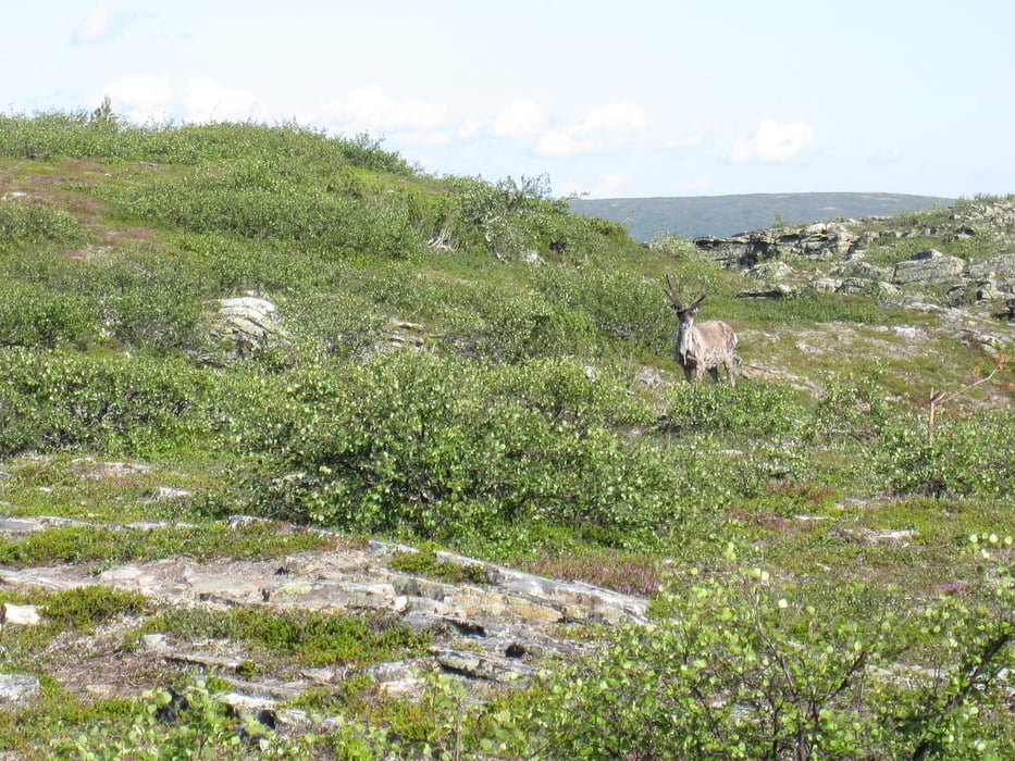
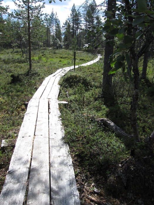
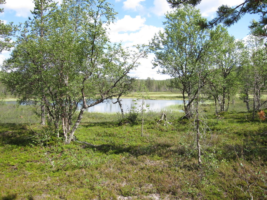
Im Nationalpark Urho Kekkosen kansallispuisto ist diese abwechslungsreiche Rundtour gelegen. Der Weg führt in ein benachbartes Tal nach Vanhatupa ( Richtung Rumakuru ausgeschildert), dem ersten Picknickplatz. Dort wenden wir uns nach rechts und folgen dem Tal entlang von kleinen Seen, durch Moorgebiete nach Luulampi, dem 2. Picknickplatz mit Grillstelle. Der kleine See lädt ein, die Füsse zu erfrischen.
Über den Berg, einem kleineren Nachbarn des Kiilopää geht es zurück zum Ausgangspunkt.
Tour gallery
Tour map and elevation profile
Minimum height 290 m
Maximum height 480 m
More about the tour author

|
Radegundis |
Comments

Von Ivalo führt die E 75 (Richtung Sodankylä) ca. 41 km nach Kakslauttanen,
links abbiegen nach Tunturikeskus Kiilopää. (6,3 km)
Parkplatz mit Einkehrmöglichkeit, Infotafeln und Touristenshop
GPS tracks
Trackpoints-
GPX / Garmin Map Source (gpx) download
-
TCX / Garmin Training Center® (tcx) download
-
CRS / Garmin Training Center® (crs) download
-
Google Earth (kml) download
-
G7ToWin (g7t) download
-
TTQV (trk) download
-
Overlay (ovl) download
-
Fugawi (txt) download
-
Kompass (DAV) Track (tk) download
-
Track data sheet (pdf) download
-
Original file of the author (gpx) download
More about the tour author
|
|
Radegundis |
Add to my favorites
Remove from my favorites
Edit tags
Open track
My score
Rate